
Listar por autor "Ruiz Fernández, Luis Ángel"
RiuNet: Repositorio Institucional de la Universidad Politécnica de Valencia
- RiuNet repositorio UPV
- :
- Listar por autor
JavaScript is disabled for your browser. Some features of this site may not work without it.
Buscar en RiuNet
Listar
Mi cuenta
Ayuda RiuNet
Admin. UPV
Listar por autor "Ruiz Fernández, Luis Ángel"
Mostrando ítems 21-40 de 98
-
Navarro Gisbert, Yolanda (Universitat Politècnica de València, 2015-05-19)[ES] El Parque Natural de la Albufera constituye uno de los ecosistemas húmedos más importantes de la Comunidad Valenciana y de la cuenca mediterránea. Cuenta con una superficie de 21.120 hectáreas, está situado a 10 Km ...
-
Sapena, Marta; Ruiz, Luis (Editorial Universitat Politècnica de València, 2017-10-23)[EN] The growing number of people living in urban areas implies the need for more sustainable landscape management. The analysis and monitorization of urban areas allows for the quantification and characterization of urban ...
-
Puig Mengual, Carlos Antonio (Universitat Politècnica de València, 2014-12-04)En este treball es va plantejar i desenrotllar una metodologia per a la delineació i extracció de forma individual de les diferents copes arbòries que es troben situades en l’àmbit de la zona d’estudi per mitjà de dades ...
-
Ruiz Fernández, Luis Ángel (Universitat Politècnica de València, 2020-06-10)Se describe la aplicación de filtros morfológicos en imágenes, con orientación a imágenes adquiridas mediante técnicas de teledetección
-
Hermosilla, T.; Ruiz Fernández, Luis Ángel; Recio Recio, Jorge Abel; Cambra López, María (Elsevier, 2012-05-15)A methodology for mapping urban land-use types integrating information from multiple data sources (high spatial resolution imagery, LiDAR data, and cadastral plots) is presented. A large set of complementary descriptive ...
-
Estornell Cremades, Javier; Ruiz Fernández, Luis Ángel; Velázquez Martí, Borja; Hermosilla Gómez, Txomin (Society of Photo-optical Instrumentation Engineers (SPIE), 2012)Shrub vegetation is a key element of Mediterranean forest areas and it is necessary to develop tools that allow a precise knowledge of this vegetation. This study aims to predict shrub volume and analyze the factors affecting ...
-
Ruiz Fernández, Luis Ángel; Almonacid-Caballer, J.; Crespo-Peremarch, P.; Recio Recio, Jorge Abel; Pardo Pascual, Josep Eliseu; Sánchez-García, Elena (ISPRS, 2020-09-02)[EN] Crop classification based on satellite and aerial imagery is a recurrent application in remote sensing. It has been used as input for creating and updating agricultural inventories, yield prediction and land management. ...
-
Recio Recio, Jorge Abel; Hermosilla, T.; Ruiz Fernández, Luis Ángel; Palomar-Vázquez, Jesús (Elsevier, 2013-01-01)A plot-based approach is proposed to detect fruit trees from high spatial resolution aerial images and extract tree and plot-based parameters, such as fraction of tree cover, number of trees, and planting patterns. Each ...
-
Pardo Pascual, Josep Eliseu; Almonacid Caballer, Jaime; Ruiz Fernández, Luis Ángel; Palomar-Vázquez, Jesús (Elsevier, 2012-08)A high precision geometric method for automated shoreline detection from Landsat TM and ETM+ imagery is presented. The methodology is based on the application of an algorithm that ensures accurate image geometric registration ...
-
Gómez Jiménez, José Manuel (Universitat Politècnica de València, 2015-05-25)[ES] Con el presente trabajo se persigue un triple objetivo. En primer lugar, se pretende realizar un proceso completo en el ámbito de la teledetección, partiendo de cero, y realizando todas las fases importantes que ...
-
Ruiz Fernández, Luis Ángel (Universitat Politècnica de València, 2020-07-06)Se describe el procedimiento para la elaboración de mapas de variables forestales a partir de datos LiDAR (Light Detection and Ranging) y datos de campo
-
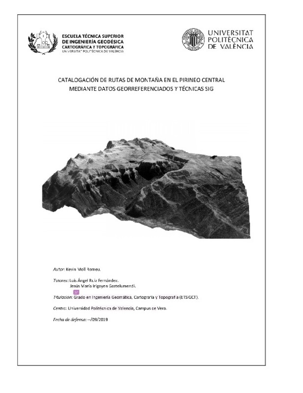
Moll Romeu, Kevin (Universitat Politècnica de València, 2019-09-25)[ES] Se realiza un inventario de rutas de montaña en la zona del Pirineo Central mediante estudio bibliográfico y de campo, adquisición, preprocesado y combinación de datos georreferenciados (MDT, imágenes Sentinel 2, ...
-
Hermosilla Gómez, Txomin; Gil Yepes, José Luis; Recio Recio, Jorge Abel; Ruiz Fernández, Luis Ángel (E. Schweizerbart Science Publishers, 2012)This paper presents a methodology for change detection in peri-urban areas using high spatial resolution image and lidar data, founded on object-based image classification and a comparison of the classification results ...
-
de Oliveira Silveira, Eduarda Martiniano; de Mello, Jose Marcio; Acerbi Junior, Fausto Weimar; dos Reis, Aliny Aparecida; Withey, Kieran Daniel; Ruiz Fernández, Luis Ángel (SciELO, 2017)[EN] Assuming a relationship between landscape heterogeneity and measures of spatial dependence by using remotely sensed data, the aim of this work was to evaluate the potential of semivariogram parameters, derived from ...
-
Crespo-Peremarch, Pablo; Tompalski, P.; Coops, N.C.; Ruiz Fernández, Luis Ángel (Elsevier, 2018)[EN] The use of laser scanning acquired from the air, or ground, holds great potential for the assessment of forest structural attributes, beyond conventional forest inventory. The use of full-waveform airborne laser ...
-
Patiño Quinchía, Jorge Eduardo (Universitat Politècnica de València, 2016-01-07)[EN] The first part of this work reviews the potential applications of satellite remote sensing to regional science research in urban settings. The availability of satellite remote sensing data has increased significantly ...
-
Villoslada Del Valle, María José (Universitat Politècnica de València, 2015-05-19)[ES] Este proyecto tiene como principal finalidad la Clasificación de los cultivos situados en el Condado de Wiltshire (Inglaterra). Posteriormente, aplicaremos el Método de Vector de Cambios, para interpretar los ...
-
Carbonell Rivera, Juan Pedro; Ruiz Fernández, Luis Ángel; Estornell Cremades, Javier (2023-06-01)Class3Dp is a software tool developed for supervised classification of photogrammetric point clouds. It allows the selection of training samples and classification of point clouds according to different features and machine ...
-
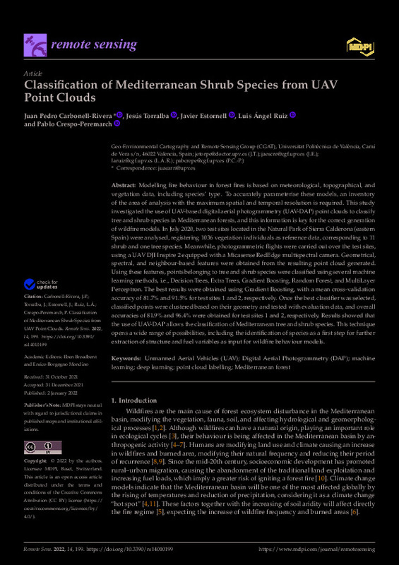
Carbonell-Rivera, Juan Pedro; Torralba, Jesús; Estornell Cremades, Javier; Ruiz Fernández, Luis Ángel; Crespo-Peremarch, Pablo (MDPI AG, 2022-01)[EN] Modelling fire behaviour in forest fires is based on meteorological, topographical, and vegetation data, including species¿ type. To accurately parameterise these models, an inventory of the area of analysis with the ...
-
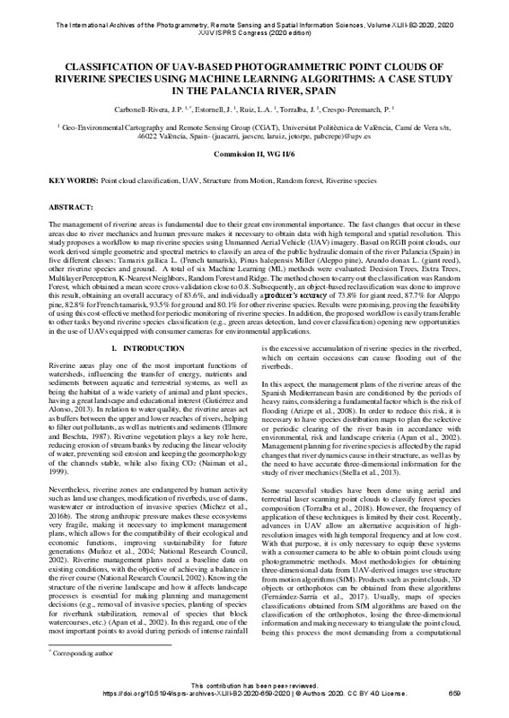
Carbonell-Rivera, Juan Pedro; Estornell Cremades, Javier; Ruiz Fernández, Luis Ángel; Torralba, Jesús; Crespo-Peremarch, P. (ISPRS, 2020-09-02)[EN] The management of riverine areas is fundamental due to their great environmental importance. The fast changes that occur in these areas due to river mechanics and human pressure makes it necessary to obtain data with ...
Mostrando ítems 21-40 de 98

Universitat Politècnica de València. Unidad de Documentación Científica de la Biblioteca (+34) 96 387 70 85 · RiuNet@bib.upv.es


