
Listar por autor "Eguíbar Galán, Miguel Ángel"
RiuNet: Repositorio Institucional de la Universidad Politécnica de Valencia
- RiuNet repositorio UPV
- :
- Listar por autor
JavaScript is disabled for your browser. Some features of this site may not work without it.
Buscar en RiuNet
Listar
Mi cuenta
Ayuda RiuNet
Admin. UPV
Listar por autor "Eguíbar Galán, Miguel Ángel"
Mostrando ítems 1-20 de 46
-
Cobos Campos, Guillermo; Eguibar Galán, Miguel Ángel; Torrijo, F.J.; Garzón-Roca, Julio (MDPI AG, 2021-08)[EN] This case study presents the engineering approach conducted for stabilizing a landslide that occurred at "El Portalet" Pass in the Central Spanish Pyrenees activated due to the construction of a parking lot. Unlike ...
-
Trizio, Francesca; Garzón-Roca, Julio; Eguibar Galán, Miguel Ángel; Bracchi, Paola; Torrijo, F.J. (MDPI AG, 2022-12)[EN] Floods represent one of the most threatening risks for earthen architectural heritage. Developing risk assessment tools is considered crucial to mitigate the risk and to protect heritage buildings. Due to its hygroscopic ...
-
Micó Pérez, Guillermo (Universitat Politècnica de València, 2014-07-14)[EN] The aim of this project is to analyse the possibility of a diversion of flow from the river Girona to Portelles Canyon in a flood situation, in order to reduce the risk of flooding in the nearly municipalities in their ...
-
Téllez Preseguer, Carlos (Universitat Politècnica de València, 2014-07-18)[EN] The aim of this project is to analyse the possibility of a diversion of flow from the river Girona to Portelles Canyon in a flood situation, in order to reduce the risk of flooding in the nearly municipalities in their ...
-
Pérez Cubas, Heler Samir (Universitat Politècnica de València, 2024-10-14)[ES] El ayuntamiento de Alzira ha elaborado y ejecutado diversas medidas para hacer frente a las constantes inundaciones que afectan a la ciudad debido de las elevadas precipitaciones que ocurren en las pequeñas cuencas ...
-
Navarro Bautista, Adrián (Universitat Politècnica de València, 2024-04-22)[ES] La cuenca del río Cervól durante periodos de grandes avenidas provoca problemas en su paso por el municipio de Vinarós, donde en algunas zonas, según el PATRICOVA, la peligrosidad es tipo 1 y 4. Es por ello que con ...
-
Ramón Marco, Laura (Universitat Politècnica de València, 2017-10-26)[EN] The objective of the study is to make a diagnosis of the water quality of the river Dender, noting the most important pressures in the river. In order to reduce these pressures in the river, the proposition of measures ...
-
Bodoque, JM; Eguíbar Galán, Miguel Ángel; Diez-Herrero, A; Gutierrez-Perez, I; Ruiz-Villanueva, V (American Geophysical Union (AGU), 2011)Many flood events involving water and sediments have been characterized using classic hydraulics principles, assuming the existence of critical flow and many other simplifications. In this paper, hyperconcentrated flow ...
-
Eguíbar Galán, Miguel Ángel (Elsevier, 2014)Paleoflood hydrology typically deals with the reconstruction of floods in ungauged and poorly gauged basins by combining different sources of indirect evidence. Botanical indicators have been used repeatedly in the past, ...
-
Velasco Pérez, Silvia (Universitat Politècnica de València, 2015-03-06)[EN] The presented project exposes the corresponding performances for the improvement of the passage on the Serpis River in the municipality of L'Alqueria d'Asnar. This project has been realized in order to optimize the ...
-
Eguíbar Galán, Miguel Ángel (Elsevier, 2014)In many regions of the world flood events in mountain basins are one of the greatest risks to the local population, due to the pressure placed on land use by social and economic development. Conventional hydrologic hydraulic ...
-
Torrijo, F.J.; Garzón-Roca, Julio; Cobos Campos, Guillermo; Eguibar Galán, Miguel Ángel (MDPI AG, 2021-08-25)[EN] This paper presents the implementation of a learning methodology following a student-centred approach. The methodology is based on the use of project based and cooperative learning and mainly consists of commissioning ...
-
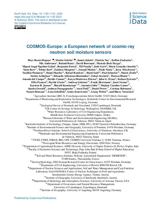
Bogena, Heye Reemt; Schrön, Martin; Jakobi, Jannis; Ney, Patrizia; Zacharias, Steffen; Andreasen, Mie; Baatz, Roland; Boorman, David; Berk Duygu, Mustafa; Eguibar Galán, Miguel Ángel; Fersch, Benjamin; Franke, Till; Geris, Josie; González Sanchis, Maria; Kerr, Yann; Albentosa Hernández, Eduardo; Campo García, Antonio Dámaso Del; Francés, F.; Lidón, Antonio (Copernicus Publications, 2022-03-11)[EN] Climate change increases the occurrence and severity of droughts due to increasing temperatures, altered circulation patterns, and reduced snow occurrence. While Europe has suffered from drought events in the last ...
-
Bodoque, José M.; Aroca-Jimenez, Estefanía; Eguibar Galán, Miguel Ángel; Garcia, Juan A. (Elsevier, 2023-02)[EN] Digital surface models (DSMs) are crucial in providing accurate urban flood hazard maps. The ubiquitous availability of LiDAR data (where accessible) makes constructing geometrically sound DSMs feasible. However, ...
-
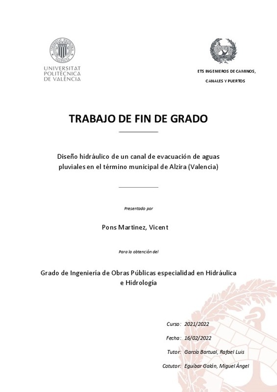
Pons Martinez, Vicent (Universitat Politècnica de València, 2022-02-24)[ES] El objetivo del TFG es abordar el diseño y evaluación de funcionamiento hidráulico de un canal para drenaje urbano en el término municipal de Alzira, para evitar las inundaciones provocadas por las escorrentías ...
-
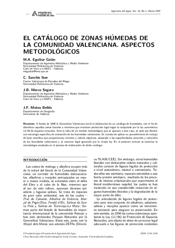
Eguíbar Galán, Miguel Ángel; Sanchis Ibor, Carlos Abelardo; Marco Segura, Juan Bautista; Mateu Bellés, J.F. (Universitat Politècnica de València, 2007-03-31)[ES] A finales de 1999 la Generalitat Valenciana inició la elaboración de un catálogo de humedales, con el fin de identificar aquellas zonas litorales e interiores que merecían protección legal según lo estipulado por la ...
-
Ballesteros Canovas, J. A.; Eguíbar Galán, Miguel Ángel; Bodoque del Pozo, José María; Díez-Herrero, A; Stoffel, M; Gutierrez-Pérez, I. (Wiley: 12 months, 2010)There is still wide uncertainty about past flash-flood processes in mountain regions owing to the lack of systematic databases on former events. This paper presents a methodology to reconstruct peak discharge of flash ...
-
Colina Francisco, Maria Claudia (Universitat Politècnica de València, 2023-12-13)[ES] Se determinarán los posibles caminos de agua que existen en el entorno del Parque Natural de la Albufera para transportar el volumen de agua que propone el Plan Hidrológico 2022-2027 (40hm3/año), y planificar teniendo ...
-
Valencia Calatayud, Arturo (Universitat Politècnica de València, 2022-09-05)[ES] Como consecuencia de la construcción de la futura E.D.A.R. de Oliva, las aguas depuradas podrán ser impulsadas hasta una balsa de almacenamiento ubicada al sur del municipio, cerca de la zona de cultivos. Como ...
-
Hernández Cabrera, Bibiano (Universitat Politècnica de València, 2021-09-24)[ES] Descripción El plan de defensas contra las crecidas del río Segura, redactado en 1987 por la Confederación Hidrográfica, constaba de 12 presas y el encauzamiento integral del río, desde Murcia hasta su desembocadura. ...
Mostrando ítems 1-20 de 46

Universitat Politècnica de València. Unidad de Documentación Científica de la Biblioteca (+34) 96 387 70 85 · RiuNet@bib.upv.es


