
Listar por autor "Hermosilla Gómez, Txomin"
RiuNet: Repositorio Institucional de la Universidad Politécnica de Valencia
- RiuNet repositorio UPV
- :
- Listar por autor
JavaScript is disabled for your browser. Some features of this site may not work without it.
Buscar en RiuNet
Listar
Mi cuenta
Ayuda RiuNet
Admin. UPV
Listar por autor "Hermosilla Gómez, Txomin"
Mostrando ítems 1-20 de 24
-
Ruiz Fernández, Luis Ángel; Recio Recio, Jorge Abel; Fernández-Sarría, Alfonso; Hermosilla, T. (Elsevier, 2011-05-01)A software application for automatic descriptive feature extraction from image-objects, FETEX 2.0, is presented and described in this paper. The input data include a multispectral high resolution digital image and a vector ...
-
Cambra López, María; Hermosilla Gómez, Txomin; Aarnink, André Johannes Antonius; Ogink, Nico (Elsevier, 2012-02)[EN] Intensive poultry and pig houses are major point sources of particulate matter (PM) emissions. The knowledge on the contribution of individual sources to PM in different fractions is essential to improve PM reduction ...
-
Hermosilla, T.; Díaz Manso, J.M.; Ruiz Fernández, Luis Ángel; Recio Recio, Jorge Abel; Fernández-Sarría, Alfonso; Ferradáns Nogueira, P (Springer Verlag (Germany), 2012-12)[EN] The abandonment of agricultural plots entails a low economic productivity of the land and a higher vulnerability to wildfires and degradation of affected areas. In this sense, the local government of Galicia is promoting ...
-
Estornell Cremades, Javier; Ruiz Fernández, Luis Ángel; Velázquez Martí, Borja; Hermosilla, T. (Taylor & Francis: STM, Behavioural Science and Public Health Titles, 2011)[EN] The creation of a quality Digital Terrain Model (DTM) is essential for representing and analyzing the Earth in a digital form. The continuous improvements in the acquisition and the potential of airborne Light Detection ...
-
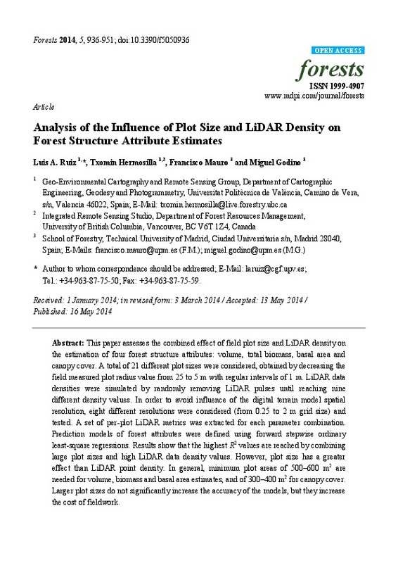
Ruiz Fernández, Luis Ángel; Hermosilla, T.; Mauro, Francisco; Godino, Miguel (MDPI AG, Basel, Switzerland, 2014)This paper assesses the combined effect of field plot size and LiDAR density on the estimation of four forest structure attributes: volume, total biomass, basal area and canopy cover. A total of 21 different plot sizes ...
-
Hermosilla, T.; Ruiz Fernández, Luis Ángel; Recio Recio, Jorge Abel; Cambra López, María (Elsevier, 2012-05-15)A methodology for mapping urban land-use types integrating information from multiple data sources (high spatial resolution imagery, LiDAR data, and cadastral plots) is presented. A large set of complementary descriptive ...
-
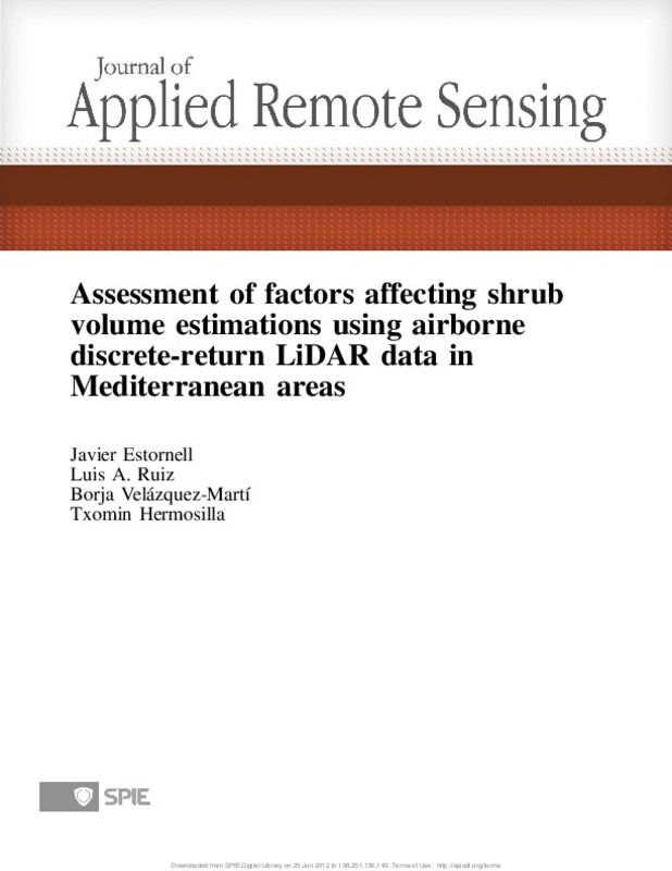
Estornell Cremades, Javier; Ruiz Fernández, Luis Ángel; Velázquez Martí, Borja; Hermosilla Gómez, Txomin (Society of Photo-optical Instrumentation Engineers (SPIE), 2012)Shrub vegetation is a key element of Mediterranean forest areas and it is necessary to develop tools that allow a precise knowledge of this vegetation. This study aims to predict shrub volume and analyze the factors affecting ...
-
Recio Recio, Jorge Abel; Hermosilla, T.; Ruiz Fernández, Luis Ángel; Palomar-Vázquez, Jesús (Elsevier, 2013-01-01)A plot-based approach is proposed to detect fruit trees from high spatial resolution aerial images and extract tree and plot-based parameters, such as fraction of tree cover, number of trees, and planting patterns. Each ...
-
Hermosilla Gómez, Txomin; Gil Yepes, José Luis; Recio Recio, Jorge Abel; Ruiz Fernández, Luis Ángel (E. Schweizerbart Science Publishers, 2012)This paper presents a methodology for change detection in peri-urban areas using high spatial resolution image and lidar data, founded on object-based image classification and a comparison of the classification results ...
-
Balaguer Beser, Ángel Antonio; Ruiz Fernández, Luis Ángel; Hermosilla, T.; Recio Recio, Jorge Abel (Elsevier, 2010-02)In this paper, a comprehensive set of texture features extracted from the experimental semivariogram of specific image objects is proposed and described, and their usefulness for land use classification of high resolution ...
-
Hermosilla, T.; Coops, Nicholas; Ruiz Fernández, Luis Ángel; Moskal, Monika (Taylor & Francis: STM, Behavioural Science and Public Health Titles, 2014-03)[EN] When processing scanning LiDAR data, it is commonly assumed that the extracted full-waveform LiDAR pulse registers truly vertical information of forest canopies. This assumption may lead to uncertain results for the ...
-
Gil Yepes, José Luis; Ruiz Fernández, Luis Ángel; Recio Recio, Jorge Abel; Balaguer Beser, Ángel Antonio; Hermosilla Gómez, Txomin (Elsevier, 2016-11)[EN] A new set of temporal features derived from codispersion and cross-semivariogram geostatistical functions is proposed, described, extracted, and evaluated for object-based land-use/land-cover change detection using ...
-
Hermosilla Gómez, Txomin (Universitat Politècnica de València, 2011-07-20)Esta Tesis tiene como objetivo establecer una metodología fiable de detección automática de edificaciones para la clasificación automática de los usos del suelo en entornos urbanos utilizando imágenes aéreas de alta ...
-
Gil Yepes, José Luis; Ruiz Fernández, Luis Ángel; Fernández-Sarría, Alfonso; Hermosilla, T. (eGeoMapping S.L., 2012)[ES] Se propone una metodología para automatizar la detección y la localización de árboles en zonas forestales a través de datos LIDAR y ortofotos. Para la automatización se han empleado diversos algoritmos para las ...
-
Estornell Cremades, Javier; Ruiz Fernández, Luis Ángel; Velázquez Martí, Borja; Hermosilla, T. (Elsevier, 2012-11)Several studies have addressed the biomass and volume of trees using Airborne Light Detection and Ranging (LiDAR) data. However, little research has been conducted into shrub vegetation, which covers a high percentage ...
-
Hermosilla Gómez, Txomin; Ruiz Fernández, Luis Ángel; Kazakova, Alexandra N.; Coops, Nicholas; Moskal, L. Monika (CSIRO Publishing, 2014)Precise knowledge of fuel conditions is important for predicting fire hazards and simulating fire growth and intensity across the landscape. We present a methodology to retrieve and map forest canopy fuel and other forest ...
-
Hermosilla, T.; Ruiz Fernández, Luis Ángel; Recio Recio, Jorge Abel; Estornell Cremades, Javier (MDPI, 2011)In this paper, two main approaches for automatic building detection and localization using high spatial resolution imagery and LiDAR data are compared and evaluated: thresholding-based and object-based classification. The ...
-
Recio Recio, Jorge Abel; Hermosilla, T.; Ruiz Fernández, Luis Ángel; Fernández Sarriá, Alfonso (American Society for Photogrammetry and Remote Sensing, 2011-04)[EN] This paper analyzes the effect of the addition of historical land-use as a descriptive feature in plot-based image classification when updating land-use/land-cover geospatial databases. Several historical databases ...
-
Hermosilla, T.; Bermejo, E.; Balaguer Beser, Ángel Antonio; Ruiz Fernández, Luis Ángel (Elsevier, 2008-09-01)[EN] A fourth-order non-linear interpolation procedure based on the ENO (Essentially Non-Oscillatory) methodology is presented and evaluated, with the purpose of increasing the geometric accuracy of edge detection in ...
-
Cambra López, María; Hermosilla, T.; Lai, Houng TL; Aarnink, André Johannes Antonius; Ogink, Nico (American Society of Agricultural and Biological Engineers, 2011-04)[EN] There is need to identify and quantify the contribution of different sources to airborne particulate matter (PM) emissions from animal houses. To this end, we compared the chemical and morphological characteristics ...
Mostrando ítems 1-20 de 24

Universitat Politècnica de València. Unidad de Documentación Científica de la Biblioteca (+34) 96 387 70 85 · RiuNet@bib.upv.es


