
Listar por autor "Crespo Peremarch, Pablo"
RiuNet: Repositorio Institucional de la Universidad Politécnica de Valencia
- RiuNet repositorio UPV
- :
- Listar por autor
JavaScript is disabled for your browser. Some features of this site may not work without it.
Buscar en RiuNet
Listar
Mi cuenta
Ayuda RiuNet
Admin. UPV
Listar por autor "Crespo Peremarch, Pablo"
Mostrando ítems 1-18 de 18
-
Crespo-Peremarch, Pablo; Fournier, Richard A.; Nguyen, Van-Tho; van Lier, Olivier R.; Ruiz Fernández, Luis Ángel (Elsevier, 2020-10-01)[EN] Laser scanning has the potential to accurately detect the vertical distribution of forest vegetative components. However, limitations are present and vary according to the system's platform (i.e., terrestrial or ...
-
Crespo-Peremarch, Pablo; Ruiz Fernández, Luis Ángel (MDPI AG, 2020-01)[EN] In the last decade, full-waveform airborne laser scanning (ALSFW) has proven to be a promising tool for forestry applications. Compared to traditional discrete airborne laser scanning (ALSD), it is capable of registering ...
-
Ruiz Fernández, Luis Ángel; Recio Recio, Jorge Abel; Crespo-Peremarch, Pablo; Sapena, Marta (Taylor & Francis, 2018)[EN] Mapping forest structure variables provides important information for the estimation of forest biomass, carbon stocks, pasture suitability or for wildfire risk prevention and control. The optimization of the prediction ...
-
Crespo-Peremarch, Pablo; Ruiz Fernández, Luis Ángel; Balaguer-Beser, Ángel; Estornell Cremades, Javier (Elsevier, 2018)[EN] LiDAR full-waveform (LFW) pulse density is not homogeneous along study areas due to overlap between contiguous flight stripes and, to a lesser extent, variations in height, velocity and altitude of the platform. As a ...
-
Torralba, Jesús; Carbonell-Rivera, Juan Pedro; Ruiz Fernández, Luis Ángel; Crespo-Peremarch, Pablo (MDPI AG, 2022-12)[EN] In recent decades, the feasibility of using terrestrial laser scanning (TLS) in forest inventories was investigated as a replacement for time-consuming traditional field measurements. However, the optimal acquisition ...
-
Crespo Peremarch, Pablo (Universitat Politècnica de València, 2015-06-17)[EN] This project tries to improve the land cover classification of aerial images using data mining. A comparison of some data mining techniques is done so as to classify urban and peri-urban areas, using the image ...
-
Torralba, Jesús; Ruiz Fernández, Luis Ángel; Carbonell-Rivera, Juan Pedro; Crespo Peremarch, Pablo (Ediciones Universidad de Valladolid, 2019-09-27)[EN] In the last decades, the feasibility and efficiency of using TLS (Terrestrial Laser Scanning) in forest inventories have been studied. Data acquisition requires defining the scan locations to register the largest ...
-
Ruiz Fernández, Luis Ángel; Almonacid-Caballer, J.; Crespo-Peremarch, P.; Recio Recio, Jorge Abel; Pardo Pascual, Josep Eliseu; Sánchez-García, Elena (ISPRS, 2020-09-02)[EN] Crop classification based on satellite and aerial imagery is a recurrent application in remote sensing. It has been used as input for creating and updating agricultural inventories, yield prediction and land management. ...
-
Li, Bofeng (Universitat Politècnica de València, 2024-10-10)[ES] La energía solar es la fuente de energía renovable más disponible. España, como el séptimo país del mundo en términos de generación de energía fotovoltaica, instala una gran cantidad de nuevos paneles solares cada año ...
-
Crespo-Peremarch, Pablo; Tompalski, P.; Coops, N.C.; Ruiz Fernández, Luis Ángel (Elsevier, 2018)[EN] The use of laser scanning acquired from the air, or ground, holds great potential for the assessment of forest structural attributes, beyond conventional forest inventory. The use of full-waveform airborne laser ...
-
Carbonell-Rivera, Juan Pedro; Estornell Cremades, Javier; Ruiz Fernández, Luis Ángel; Crespo-Peremarch, Pablo; Almonacid-Caballer, Jaime; Torralba, Jesús (Elsevier, 2024-01)[EN] Recognizing the species composition of an ecosystem is essential for conservation and land management. This study presents the software Class3Dp, a supervised classifier of vegetation species for coloured point clouds. ...
-
Carbonell-Rivera, Juan Pedro; Torralba, Jesús; Estornell Cremades, Javier; Ruiz Fernández, Luis Ángel; Crespo-Peremarch, Pablo (MDPI AG, 2022-01)[EN] Modelling fire behaviour in forest fires is based on meteorological, topographical, and vegetation data, including species¿ type. To accurately parameterise these models, an inventory of the area of analysis with the ...
-
Carbonell-Rivera, Juan Pedro; Estornell Cremades, Javier; Ruiz Fernández, Luis Ángel; Torralba, Jesús; Crespo-Peremarch, P. (ISPRS, 2020-09-02)[EN] The management of riverine areas is fundamental due to their great environmental importance. The fast changes that occur in these areas due to river mechanics and human pressure makes it necessary to obtain data with ...
-
Crespo-Peremarch, P.; Torralba, Jesús; Carbonell-Rivera, Juan Pedro; Ruiz Fernández, Luis Ángel (ISPRS, 2020-09-02)[EN] Remote sensing and photogrammetry techniques have demonstrated to be an important tool for the characterization of forest ecosystems. Nonetheless, the use of these techniques requires an accurate digital terrain model ...
-
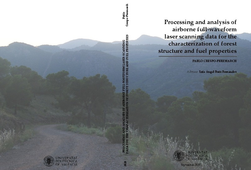
Crespo-Peremarch, P.; Ruiz, L. A. (Universitat Politècnica de València, 2020-12-28)[EN] This PhD thesis addresses the development of full-waveform airborne laser scanning (ALSFW) processing and analysis methods to characterize the vertical forest structure, in particular the understory vegetation. In ...
-
Crespo Peremarch, Pablo (Universitat Politècnica de València, 2020-10-30)[ES] Esta tesis aborda el desarrollo de métodos de procesado y análisis de datos ALSFW para la caracterización de la estructura vertical del bosque y, en particular, del sotobosque. Para responder a este objetivo general, ...
-
Diéguez López, Alejandro (Universitat Politècnica de València, 2023-09-06)[ES] En los últimos tiempos, debido a la afección del cambio climático y a otros procesos antrópicos, muchas zonas costeras del planeta están sufriendo cambios continuos que provocan variaciones constantes en las líneas ...
-
Carbonell Rivera, Juan Pedro; Torralba, Jesús; Crespo Peremarch, Pablo; Ruiz Fernández, Luis Ángel (Universitat Politècnica de València, 2023-06-14)This dataset contains RGB and multispectral point clouds of the Sierra Calderona Natural Park, obtained by UAV digital aerial photogrammetry.
Mostrando ítems 1-18 de 18

Universitat Politècnica de València. Unidad de Documentación Científica de la Biblioteca (+34) 96 387 70 85 · RiuNet@bib.upv.es


