
Listar por autor "Pardo Pascual, Josep Eliseu"
RiuNet: Repositorio Institucional de la Universidad Politécnica de Valencia
- RiuNet repositorio UPV
- :
- Listar por autor
JavaScript is disabled for your browser. Some features of this site may not work without it.
Buscar en RiuNet
Listar
Mi cuenta
Ayuda RiuNet
Admin. UPV
Listar por autor "Pardo Pascual, Josep Eliseu"
Mostrando ítems 1-20 de 52
-
Sánchez-García, Elena; Balaguer-Beser, Ángel; Almonacid-Caballer, Jaime; Pardo Pascual, Josep Eliseu (MDPI AG, 2019-08-12)[EN] This paper presents a new methodological process for detecting the instantaneous land-water border at sub-pixel level from mid-resolution satellite images (30 m/pixel) that are freely available worldwide. The new ...
-
Palomar-Vázquez, Jesús; Pardo Pascual, Josep Eliseu; Sebastiá Tarín, Laura; Recio Recio, Jorge Abel (Maney Publishing, 2012-05)In this article, a technique towards the generation of hybrid raster-attributes map for use in mobile devices is described. Our solution is based on coding the map attributes within an image using RGB values. The designed ...
-
Sánchez-García, Elena; Palomar-Vázquez, Jesús; Pardo Pascual, Josep Eliseu; Almonacid-Caballer, J.; Cabezas-Rabadán, Carlos; Gómez Pujol, L. (Elsevier, 2020-09)[EN] Satellite images may constitute a useful source of information for coastal monitoring as long as it is possible to manage them in an efficient way and to derive precise indicators of the state of the beaches. In the ...
-
Pardo Pascual, Josep Eliseu; Palomar-Vázquez, Jesús; Cabezas-Rabadán, Carlos (Universidad de la Rioja, 2022-07-14)[EN] Beaches are spaces of paramount importance for coastal societies currently threatened by coastal erosion. Their preservation requires accurate quantification of their changes in order to understand their behavior and ...
-
Sánchez García, Elena; Pardo Pascual, Josep Eliseu; Balaguer Beser, Ángel Antonio; Almonacid Caballer, Jaime (Copernicus Publications, 2015)[EN] A statistical analysis of the results obtained by the tool SELI (Shoreline Extraction from Landsat Imagery) is made in order to characterise the medium and long term period changes occurring on beaches. The analysis ...
-
Pardo Pascual, Josep Eliseu; Roca-Moya, R.; Segura-Beltrán, F. (Universitat de València, 2019)[ES] El artículo presenta un análisis de la evolución de la línea de costa entre Alcossebre y Orpesa, a partir de fotografías aéreas y ortofotografías, entre 1956 y 2015. La digitialización de 12 líneas de costa ha permitido ...
-
Fernández González, Gonzalo Julián (Universitat Politècnica de València, 2021-09-15)[ES] La disposición de múltiples posiciones de la orilla obtenidas de sucesivas imágenes de satélite de resolución media (como las Sentinel 2), y el reconocimiento de que su variabilidad está claramente relacionada con ...
-
Cabezas-Rabadán, Carlos; Almonacid-Caballer, Jaime; Benavente, Javier; Castelle, Bruno; Del Río, Laura; Montes, Juan; Palomar-Vázquez, Jesús; Pardo Pascual, Josep Eliseu (MDPI AG, 2024-02)[EN] The accuracy and robustness of the shoreline definition from satellite imagery on different coastal types are crucial to adequately characterising beach morphology and dynamics. However, the generic and widespread ...
-
Pardo Pascual, Josep Eliseu; Sánchez García, Elena; Almonacid-Caballer, Jaime; Palomar-Vázquez, Jesús; Priego De Los Santos, Enrique; Fernández-Sarría, Alfonso; Balaguer-Beser, Ángel (MDPI AG, 2018)[EN] This paper evaluates the accuracy of shoreline positions obtained from the infrared (IR) bands of Landsat 7, Landsat 8, and Sentinel-2 imagery on natural beaches. A workflow for sub-pixel shoreline extraction, already ...
-
Cabezas-Rabadán, Carlos; Rodilla, M; Pardo Pascual, Josep Eliseu; Herrera-Racionero, Paloma (Elsevier, 2019)[EN] Beach management follows a homogeneous and rigid decision-making process that tries to fulfill expectations assumed from mass tourism without really getting to know the real users' perception. Decisions are usually ...
-
Pardo Pascual, Josep Eliseu; Almonacid-Caballer, J.; Cabezas-Rabadán, Carlos; Fernández-Sarría, Alfonso; Armaroli, C.; Ciavola, P.; Montes, J.; Souto-Ceccon, P. E.; Palomar-Vázquez, Jesús (Elsevier, 2024-03)[EN] The definition of the shoreline position from satellite imagery is of great interest among coastal monitoring techniques. Understanding the reality mapped by the resulting shorelines and defining their accuracy is of ...
-
Ruiz Fernández, Luis Ángel; Almonacid-Caballer, J.; Crespo-Peremarch, P.; Recio Recio, Jorge Abel; Pardo Pascual, Josep Eliseu; Sánchez-García, Elena (ISPRS, 2020-09-02)[EN] Crop classification based on satellite and aerial imagery is a recurrent application in remote sensing. It has been used as input for creating and updating agricultural inventories, yield prediction and land management. ...
-
Pardo Pascual, Josep Eliseu; Almonacid Caballer, Jaime; Ruiz Fernández, Luis Ángel; Palomar-Vázquez, Jesús (Elsevier, 2012-08)A high precision geometric method for automated shoreline detection from Landsat TM and ETM+ imagery is presented. The methodology is based on the application of an algorithm that ensures accurate image geometric registration ...
-
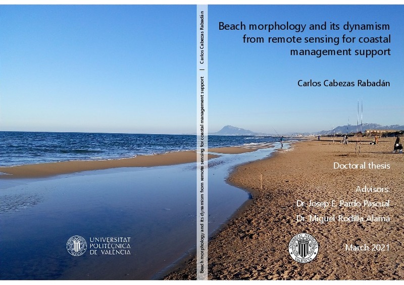
Cabezas Rabadán, Carlos (Universitat Politècnica de València, 2021-04-08)[ES] Las playas son espacios costeros que desarrollan numerosas funciones ambientales. Éstas proporcionan importantes beneficios a la sociedad y a las comunidades costeras, entre las que destacan la función ecológica, el ...
-
Sánchez García, Elena; Balaguer-Beser, Ángel; Pardo Pascual, Josep Eliseu (Elsevier, 2017)[EN] This paper describes a methodological protocol to project a terrestrial photograph of a coastal area or whatever indicator is contained on it in a georeferenced plane taking advantage of the terrestrial horizon ...
-
Vaquero Cáceres, Jesús (Universitat Politècnica de València, 2015-05-26)[ES] El presente estudio tiene dos propósitos claramente diferenciados uno de otro y, a su vez, relacionados entre sí. Uno de ellos está enfocado al estudio de la dinámica de la zona de playa y otro al estudio de la posición ...
-
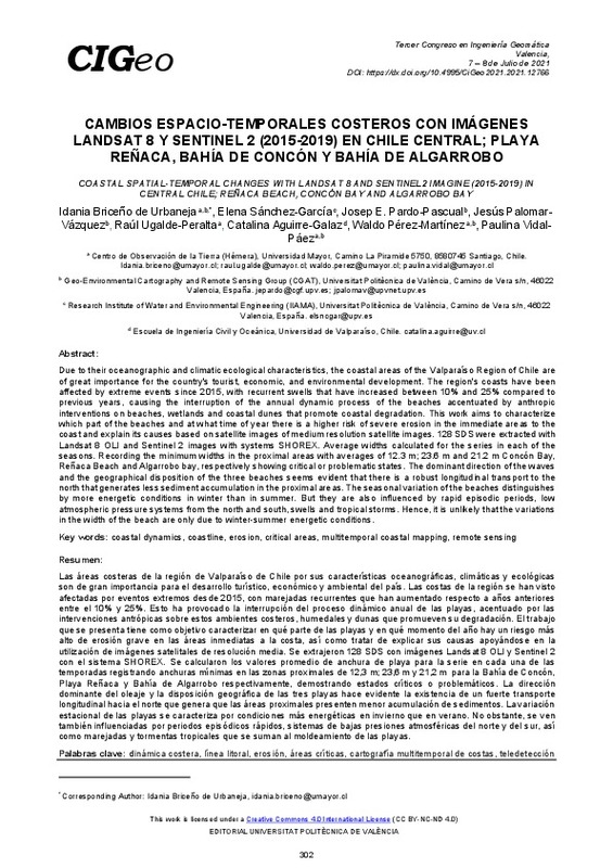
Briceño de Urbaneja, Idania; Sánchez-García, Elena; Pardo Pascual, Josep Eliseu; Palomar Vázquez, Jesús Manuel; Ugalde-Peralta, Raúl; Aguirre-Galaz, Catalina; Perez Martinez, Waldo; Vidal Páez, Paulina Javiera (Editorial Universitat Politècnica de València, 2021-10-01)[EN] Due to their oceanographic and climatic ecological characteristics, the coastal areas of the Valparaíso Region of Chile are of great importance for the country's tourist, economic, and environmental development. The ...
-
Pardo Pascual, Josep Eliseu; Almonacid Caballer, Jaime; Mislata Cabo, Rosa María; Roselló Soto, Raquel (Instituto de Estudios Saguntinos, 2012)[ES] Se presenta un análisis de la evolución reciente de la línea de costa de los términos municipales de Sagunt y de Canet d’en Berenguer. La principal novedad es el empleo de imágenes Landsat –con una resolución espacial ...
-
Tárraga Martínez, Gema (Universitat Politècnica de València, 2015-07-20)[ES] Durante estas últimas décadas se ha producido una gran explotación urbanística de la zona costera mediterránea, creando, en algunas áreas un gran deterioro en la misma, sobretodo el los ecosistemas dunares que existen ...
-
Cabezas-Rabadán, Carlos; Pardo Pascual, Josep Eliseu; Palomar-Vázquez, Jesús; Fernández-Sarría, Alfonso (Elsevier, 2019-11-15)[EN] Shoreline position can be efficiently extracted with subpixel accuracy frommid-resolution satellite imagery using tools as SHOREX. However, it is necessary to develop procedures for deriving descriptors of the beach ...
Mostrando ítems 1-20 de 52

Universitat Politècnica de València. Unidad de Documentación Científica de la Biblioteca (+34) 96 387 70 85 · RiuNet@bib.upv.es


