
Listar por autor "Almonacid Caballer, Jaime"
RiuNet: Repositorio Institucional de la Universidad Politécnica de Valencia
- RiuNet repositorio UPV
- :
- Listar por autor
JavaScript is disabled for your browser. Some features of this site may not work without it.
Buscar en RiuNet
Listar
Mi cuenta
Ayuda RiuNet
Admin. UPV
Listar por autor "Almonacid Caballer, Jaime"
Mostrando ítems 1-19 de 19
-
Sánchez-García, Elena; Balaguer-Beser, Ángel; Almonacid-Caballer, Jaime; Pardo Pascual, Josep Eliseu (MDPI AG, 2019-08-12)[EN] This paper presents a new methodological process for detecting the instantaneous land-water border at sub-pixel level from mid-resolution satellite images (30 m/pixel) that are freely available worldwide. The new ...
-
Sánchez-García, Elena; Palomar-Vázquez, Jesús; Pardo Pascual, Josep Eliseu; Almonacid-Caballer, J.; Cabezas-Rabadán, Carlos; Gómez Pujol, L. (Elsevier, 2020-09)[EN] Satellite images may constitute a useful source of information for coastal monitoring as long as it is possible to manage them in an efficient way and to derive precise indicators of the state of the beaches. In the ...
-
Sánchez García, Elena; Pardo Pascual, Josep Eliseu; Balaguer Beser, Ángel Antonio; Almonacid Caballer, Jaime (Copernicus Publications, 2015)[EN] A statistical analysis of the results obtained by the tool SELI (Shoreline Extraction from Landsat Imagery) is made in order to characterise the medium and long term period changes occurring on beaches. The analysis ...
-
Cabezas-Rabadán, Carlos; Almonacid-Caballer, Jaime; Benavente, Javier; Castelle, Bruno; Del Río, Laura; Montes, Juan; Palomar-Vázquez, Jesús; Pardo Pascual, Josep Eliseu (MDPI AG, 2024-02)[EN] The accuracy and robustness of the shoreline definition from satellite imagery on different coastal types are crucial to adequately characterising beach morphology and dynamics. However, the generic and widespread ...
-
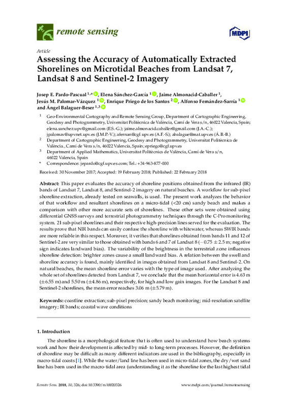
Pardo Pascual, Josep Eliseu; Sánchez García, Elena; Almonacid-Caballer, Jaime; Palomar-Vázquez, Jesús; Priego De Los Santos, Enrique; Fernández-Sarría, Alfonso; Balaguer-Beser, Ángel (MDPI AG, 2018)[EN] This paper evaluates the accuracy of shoreline positions obtained from the infrared (IR) bands of Landsat 7, Landsat 8, and Sentinel-2 imagery on natural beaches. A workflow for sub-pixel shoreline extraction, already ...
-
Pardo Pascual, Josep Eliseu; Almonacid-Caballer, J.; Cabezas-Rabadán, Carlos; Fernández-Sarría, Alfonso; Armaroli, C.; Ciavola, P.; Montes, J.; Souto-Ceccon, P. E.; Palomar-Vázquez, Jesús (Elsevier, 2024-03)[EN] The definition of the shoreline position from satellite imagery is of great interest among coastal monitoring techniques. Understanding the reality mapped by the resulting shorelines and defining their accuracy is of ...
-
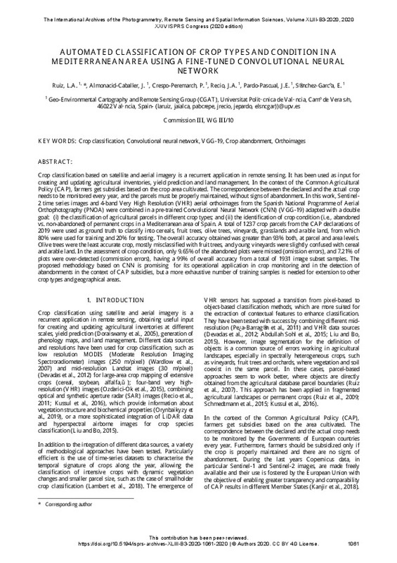
Ruiz Fernández, Luis Ángel; Almonacid-Caballer, J.; Crespo-Peremarch, P.; Recio Recio, Jorge Abel; Pardo Pascual, Josep Eliseu; Sánchez-García, Elena (ISPRS, 2020-09-02)[EN] Crop classification based on satellite and aerial imagery is a recurrent application in remote sensing. It has been used as input for creating and updating agricultural inventories, yield prediction and land management. ...
-
Pardo Pascual, Josep Eliseu; Almonacid Caballer, Jaime; Ruiz Fernández, Luis Ángel; Palomar-Vázquez, Jesús (Elsevier, 2012-08)A high precision geometric method for automated shoreline detection from Landsat TM and ETM+ imagery is presented. The methodology is based on the application of an algorithm that ensures accurate image geometric registration ...
-
Pardo Pascual, Josep Eliseu; Almonacid Caballer, Jaime; Mislata Cabo, Rosa María; Roselló Soto, Raquel (Instituto de Estudios Saguntinos, 2012)[ES] Se presenta un análisis de la evolución reciente de la línea de costa de los términos municipales de Sagunt y de Canet d’en Berenguer. La principal novedad es el empleo de imágenes Landsat –con una resolución espacial ...
-
Sanchis Ibor, Carles; Segura-Beltrán, Francisca; Almonacid-Caballer, Jaime (Elsevier, 2017-11)[EN] During the 1970s, the Palancia River was intensively affected by gravel mining instream. This activity completely destroyed the fluvial forms, devastating the original wandering pattern. At the end of the 1980s, gravel ...
-
Carbonell-Rivera, Juan Pedro; Estornell Cremades, Javier; Ruiz Fernández, Luis Ángel; Crespo-Peremarch, Pablo; Almonacid-Caballer, Jaime; Torralba, Jesús (Elsevier, 2024-01)[EN] Recognizing the species composition of an ecosystem is essential for conservation and land management. This study presents the software Class3Dp, a supervised classifier of vegetation species for coloured point clouds. ...
-
Cabezas-Rabadán, Carlos; Pardo Pascual, Josep Eliseu; Almonacid-Caballer, Jaime; Rodilla, M (Elsevier, 2019-09)[EN] This work shows a continuous and regional monitoring of the beach width and how to link it with the recreational function of these spaces. Shorelines automatically derived from Landsat 8 satellite were employed for ...
-
Almonacid Caballer, Jaime; Pardo Pascual, Josep Eliseu; Ruiz Fernández, Luis Ángel (MDPI AG, 2017)[EN] Multi-temporal analysis is one of the main applications of remote sensing, and Landsat imagery has been one of the main resources for many years. However, the moderate spatial resolution (30 m) restricts their use for ...
-
Almonacid Caballer, Jaime; Sánchez García, Elena; Pardo Pascual, Josep Eliseu; Balaguer Beser, Ángel Antonio; Palomar Vázquez, Jesús Manuel (Elsevier, 2016-02-01)[EN] The shoreline is a useful indicator of mid-term coastal evolution. Every shoreline is affected by instantaneous sealevel, the length of the run-up, and beach profile changes. In this work, annual mean shorelines are ...
-
Pardo Pascual, Josep Eliseu; Almonacid Caballer, Jaime; Ruiz Fernández, Luis Ángel; Palomar-Vázquez, Jesús; Rodrigo-Alemany, Raül (Elsevier, 2014-06-01)The impact of storms on sandy beaches and the subsequent recovery process is described from an analysis of the shoreline positions obtained from Landsat 5 TM and Landsat 7 ETM + imagery. Shoreline extraction is based on ...
-
Cabezas-Rabadán, Carlos; Pardo Pascual, Josep Eliseu; Almonacid-Caballer, Jaime; Palomar-Vázquez, Jesús; Fernández-Sarría, Alfonso (Buletin Asociacion Geografos Espanoles, 2019)[EN] Large-scale and continuous monitoring of morphological changes on beaches is of great interest for coastal management. Shoreline positions were extracted with the system SHOREX on multiple dates on three beaches of ...
-
Almonacid Caballer, Jaime (Universitat Politècnica de València, 2015-03-30)En esta tesis se presenta un método y una serie de herramientas informáticas para obtener automáticamente la posición de líneas de costa partiendo de imágenes registradas por los satélites Landsat (5,7 y 8) con un nivel ...
-
Palomar-Vázquez, Jesús; Pardo Pascual, Josep Eliseu; Almonacid-Caballer, Jaime; Cabezas-Rabadán, Carlos (MDPI AG, 2023-06)[EN] SAET (Shoreline Analysis and Extraction Tool) is a novel open-source tool to enable the completely automatic detection of shoreline position changes using the optical imagery acquired by the Sentinel-2 and Landsat 8 ...
-
Cabezas-Rabadán, Carlos; Almonacid-Caballer, Jaime; Pardo-Pascual, Josep E.; Soriano-González, Jesús (Editorial Universitat Politècnica de València, 2017-10-23)[EN] Beaches are natural environments of great interest for our society. They go through remarkable changes run by key factors that are interconnected according to the literature. A better understanding of these parameters, ...
Mostrando ítems 1-19 de 19

Universitat Politècnica de València. Unidad de Documentación Científica de la Biblioteca (+34) 96 387 70 85 · RiuNet@bib.upv.es


