
Listar por palabra clave "Deformation monitoring"
RiuNet: Repositorio Institucional de la Universidad Politécnica de Valencia
- RiuNet repositorio UPV
- :
- Listar por palabra clave
JavaScript is disabled for your browser. Some features of this site may not work without it.
Buscar en RiuNet
Listar
Mi cuenta
Ayuda RiuNet
Admin. UPV
Listar por palabra clave "Deformation monitoring"
Mostrando ítems 1-19 de 19
-
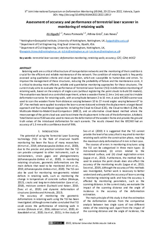
Algadhi, Ali; Psimoulis, Panos; Grizi, Athina; Neves, Luis (Editorial Universitat Politècnica de València, 2023-01-27)[EN] Retaining walls are a critical infrastructure of transportation networks and the monitoring of their condition is crucial for the efficient and reliable maintenance of the network. The condition of retaining walls is ...
-
Javadi, Peyman; García-Asenjo Villamayor, Luis; Luján, Raquel; Lerma, José Luis (MDPI AG, 2024-05-22)[EN] This study investigates panorama photogrammetry (PPh) as a potential method to collect massive 3D information for long-range deformation monitoring. Particularly, this study focuses on areas with measuring restrictions, ...
-
Niemeier, Wolfgang (Editorial Universitat Politècnica de València, 2023-01-27)[EN] Since decades the development and improvement of methods for the mathematical and statistical analysis of deformation measurements is a prominent topic within Geodesy, Surveying and Photogrammetry. But I have seen in ...
-
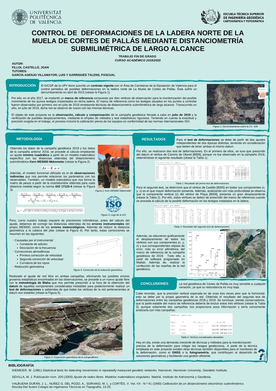
Fillol Castelló, Joan (Universitat Politècnica de València, 2020-07-30)[ES] El Departamento de Ingeniería Cartográfica, Geodesia y Fotogrametría de la UPV tiene suscrito un contrato con el Área de Carreteras de la Diputación de Valencia para el control periódico de posibles deformaciones en ...
-
Baselga Moreno, Sergio; García-Asenjo Villamayor, Luis; Garrigues Talens, Pascual (Elsevier, 2015-06)The question of determination of displacements in control networks with two or more measuring epochs is a well-known problem with broad applications to different fields of science and engineering. The standard procedure, ...
-
Baselga Moreno, Sergio; Garrigues Talens, Pascual; Berné Valero, José Luis; Anquela Julián, Ana Belén; Martín Furones, Ángel Esteban (Taylor & Francis: STM, Behavioural Science and Public Health Titles, 2011-10)Deformation monitoring in heritage buildings is an essential task for conservation and restoration studies. A vast variety of techniques can be applied assuming that a three-dimensional modelization is required: GPS (Global ...
-
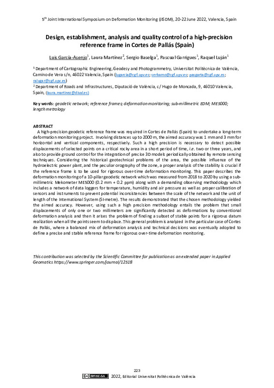
García-Asenjo, Luis; Baselga, Sergio; Martínez, Laura; Garrigues, Pascual; Luján, Raquel (Editorial Universitat Politècnica de València, 2023-01-27)[EN] A high-precision geodetic reference frame was required in Cortes de Pallás (Spain) to undertake a long-term deformation monitoring project. Involving distances up to 2000 m, the aimed accuracy was 1 mm and 3 mm for ...
-
García-Asenjo Villamayor, Luis; Martínez, Laura; Baselga Moreno, Sergio; Garrigues, Pascual; Luján, Raquel (Springer, 2023-06)[EN] A high-precision geodetic reference frame was required in Cortes de Pallas (Spain) to undertake a long-term deformation monitoring project. Involving distances up to 2000 m, the aimed accuracy was 1 mm and 3 mm for ...
-
Qafisheh, Mutaz Wajeh Abdlmajid (Universitat Politècnica de València, 2024-07-29)[ES] Los sistemas de alerta temprana en tiempo real son instrumentos claves para vigilar posibles desastres geológicos como terremotos, tsunamis, actividades volcánicas, hundimiento del terreno o deslizamientos de ladera. ...
-
Javadi, Peyman; Lerma, José Luis; García-Asenjo, Luis (Editorial Universitat Politècnica de València, 2023-02-07)[EN] Geomonitoring of rockfalls and landslides is increasingly carried out by solutions that integrate different geomatics techniques to provide quickly 3D point clouds or models that are required to be rigorously in the ...
-
Wiedemann, Wolfgang; Holst, Christoph (Editorial Universitat Politècnica de València, 2023-01-27)[EN] Water dams are an important infrastructure component for energy generation, water supply and flood control. Regular inspections of the structures for damage and deformation are necessary for safe operation and to ...
-
Medic, Tomislav; Ruttner, Pia; Holst, Christoph; Wieser, Andreas (Editorial Universitat Politècnica de València, 2023-01-27)[EN] Terrestrial laser scanners (TLSs) offer a possibility for more automated and efficient deformation monitoring of civil engineering structures with higher spatial resolution than standard methods, as well as without ...
-
Ruiz-Armenteros, Antonio; Delgado-Blasco, José; Bakon, Matus; Lazecky, Milan; Marchamalo-Sacristán, Miguel; Lamas-Fernández, Francisco; Ruiz-Constán, Ana; Galindo-Zaldívar, Jesús; Sanz de Galdeano, Carlos; Martos-Rosillo, Sergio; Papco, Juraj; Perissin, Daniele; Sousa, Joaquim (Editorial Universitat Politècnica de València, 2021-10-01)[EN] Synthetic Aperture Radar Interferometry (InSAR) is a remote sensing technique very effective for the measure of smalldisplacements of the Earth’s surface over large areas at a very low cost as compared with conventional ...
-
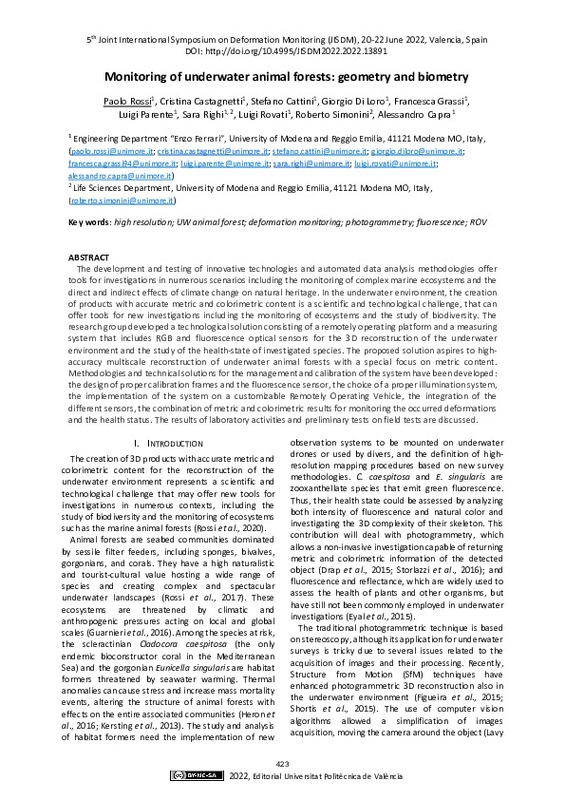
Rossi, Paolo; Castagnetti, Cristina; Cattini, Stefano; Di Loro, Giorgio; Grassi, Francesca; Parente, Luigi; Righi, Sara; Rovati, Luigi; Simonini, Roberto; Capra, Alessandro (Editorial Universitat Politècnica de València, 2023-01-27)[EN] The development and testing of innovative technologies and automated data analysis methodologies offer tools for investigations in numerous scenarios including the monitoring of complex marine ecosystems and the direct ...
-
Crosetto, Michele; Solari, Lorenzo; Mróz, Marek (Editorial Universitat Politècnica de València, 2023-01-27)[EN] This paper describes the first results of the European Ground Motion Service (EGMS). The EGMS is part of the Copernicus Land Monitoring Service and represents a unique initiative for performing ground deformation ...
-
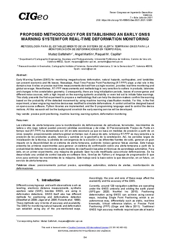
Qafisheh, Mutaz; Martin, Angel; Capilla, Raquel (Editorial Universitat Politècnica de València, 2021-10-01)[EN] Early Warning System (EWS) for monitoring megastructures deformation, natural hazards, earthquakes, and landslides can prevent economic and life losses. Nowadays, Real-Time Precise Point Positioning (RT-PPP) plays a ...
-
Javadi, Peyman; Lerma, José; García-Asenjo, Luis; Garrigues, Pascual (Editorial Universitat Politècnica de València, 2021-10-01)[EN] In recent years, the production of panoramic images has been boosted by the increasing use of digital photographiccameras and mobile phones. However, for highly demanding applications such as long-range deformation ...
-
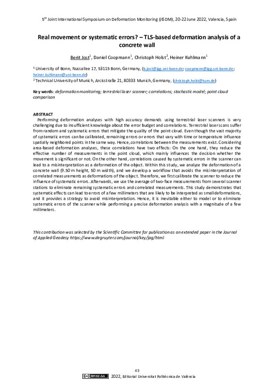
Jost, Berit; Coopmann, Daniel; Holst, Christoph; Kuhlmann, Heiner (Editorial Universitat Politècnica de València, 2023-01-27)[EN] Performing deformation analyses with high accuracy demands using terrestrial laser scanners is very challenging due to insufficient knowledge about the error budget and correlations. Terrestrial laser scans suffer ...
-
Meyer, Nicholas; Schmid, Lorenz; Wieser, Andreas; Medic, Tomislav (Editorial Universitat Politècnica de València, 2023-01-27)[EN] Profile laser scanning allows sub-millimeter precise contact-free measurements with high spatial and temporal resolution. That makes it an appealing solution for structural health monitoring focusing on vibrations of ...
Mostrando ítems 1-19 de 19

Universitat Politècnica de València. Unidad de Documentación Científica de la Biblioteca (+34) 96 387 70 85 · RiuNet@bib.upv.es


