
Listar por palabra clave "Deformations"
RiuNet: Repositorio Institucional de la Universidad Politécnica de Valencia
- RiuNet repositorio UPV
- :
- Listar por palabra clave
JavaScript is disabled for your browser. Some features of this site may not work without it.
Buscar en RiuNet
Listar
Mi cuenta
Ayuda RiuNet
Admin. UPV
Listar por palabra clave "Deformations"
Mostrando ítems 1-9 de 9
-
Abad García, Àngels (Universitat Politècnica de València, 2023-09-06)[ES] Este Trabajo de Fin de Grado se centra en el análisis CFD de una hélice tripala de tamaño medio para investigar los fenómenos aeroelásticos a los que está sujeta. Se ha empleado principalmente el software Star-CCM+ ...
-
Vidal Ull, Jordi (Universitat Politècnica de València, 2024-05-02)[ES] Este Trabajo de Fin de Grado nace de una iniciativa del Instituto Geográfico Nacional (IGN) para analizar diferentes metodologías que permitan medir la deformación de los radiotelescopios VLBI del observatorio. Los ...
-
García Aznar, César (Universitat Politècnica de València, 2019-07-05)[EN] An analysis of the expected behavior will be carried out through a finite element program of the construction of a 7-floor building above the tunnel structure of the Metrovalencia network and it will be verified that ...
-
Morales Chover, Albert (Universitat Politècnica de València, 2017-09-25)This project focuses on the process of developing a safety cage for a rally car. This is how we explain the process: we collect all the necessary information to create the correct configuration of the geometry. Such ...
-
Caicedo Pratt, George Nikolas (Universitat Politècnica de València, 2021-11-05)[ES] El objetivo de la arquitectura no debe ser diseñar edificios ¿atractivos¿. Debe responder a aspectos más necesarios como son la funcionalidad, la eficiencia económica, la sostenibilidad¿entre otros. Para ello, el ...
-
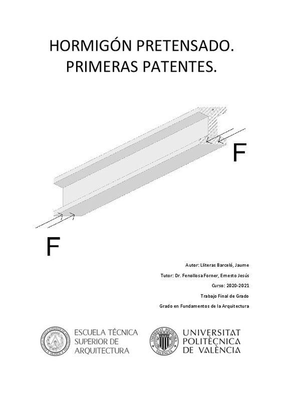
Lliteras Barceló, Jaume (Universitat Politècnica de València, 2022-05-02)[ES] El pretensado es un sistema que nace para la optimización de los recursos al igual que el hormigón armado. Aquí daremos un recorrido por las primeras patentes que intentan introducir la técnica del pretensado en el ...
-
Nikolov, Hristo; Atanasova, Mila; Atanasova-Zlatareva, Mila (Editorial Universitat Politècnica de València, 2023-02-22)[EN] In this paper we used synthetic aperture radar (SAR) data to investigate the surface displacements in the area of archaeological site Solnitsata dated VI-V millennium BC. The researched zone is situated in the ...
-
Zaczek-Peplinska, Janina; Kowalska, Maria; Ryczko, Krystian; Sekular, Cezary (Editorial Universitat Politècnica de València, 2023-01-27)[EN] Modern measurement technologies are widely used for the monitoring and determination of surface deformations. One more frequently used measurement technology is terrestrial laser scanning (TLS), which provides ...
-
Capilla Romá, Raquel; Berné Valero, José Luis; Martín Furones, Ángel Esteban; Rodrigo Alemany, Raül (Taylor & Francis: STM, Behavioural Science and Public Health Titles, 2016)[EN] The precise point positioning (PPP) is a Global Navigation Satellite System (GNSS) computation technique that performs precise positioning using a single receiver. This is the main advantage over the traditional ...
Mostrando ítems 1-9 de 9

Universitat Politècnica de València. Unidad de Documentación Científica de la Biblioteca (+34) 96 387 70 85 · RiuNet@bib.upv.es


