
Listar por palabra clave "Geographic Information Systems (GIS)"
RiuNet: Repositorio Institucional de la Universidad Politécnica de Valencia
- RiuNet repositorio UPV
- :
- Listar por palabra clave
JavaScript is disabled for your browser. Some features of this site may not work without it.
Buscar en RiuNet
Listar
Mi cuenta
Ayuda RiuNet
Admin. UPV
Listar por palabra clave "Geographic Information Systems (GIS)"
Mostrando ítems 1-11 de 11
-
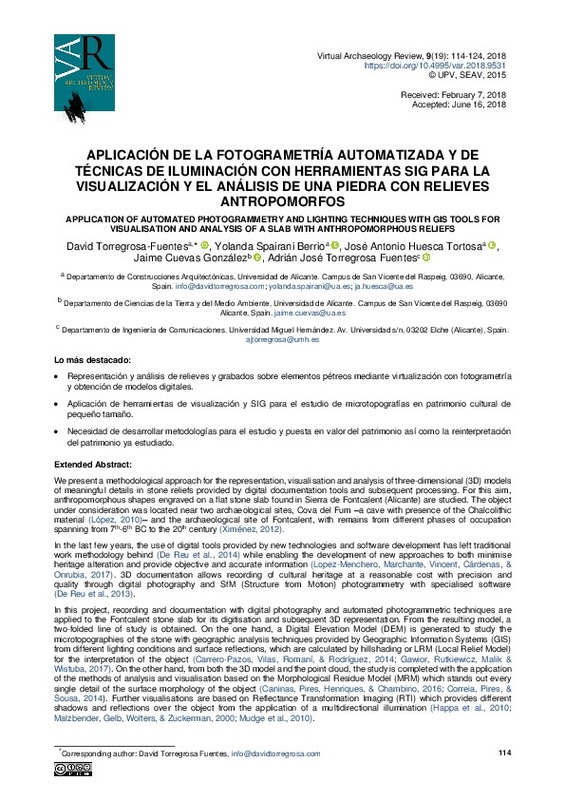
Torregrosa-Fuentes, David; Spairani Berrio, Yolanda; Huesca Tortosa, Jose Antonio; Cuevas González, Jaime; Torregrosa Fuentes, Adrián José (Universitat Politècnica de València, 2018-07-20)[EN] Extended Abstract:We present a methodological approach for the representation, visualisation and analysis of three-dimensional (3D) models of meaningful details in stone reliefs provided by digital documentation tools ...
-
Collado Latorre, Julián Carlos (Universitat Politècnica de València, 2021-10-06)[ES] En este estudio se expone la utilidad del uso de las metodologías de análisis multicriterio, el Proceso Analítico Jerárquico (Analytic Hierarchy Process, AHP), la Combinación Lineal Ponderada (Weighted Linear Combination, ...
-
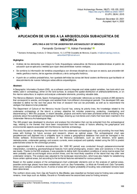
Contreras Rodrigo, Fernando; Fernández Sánchez, Adrián (Universitat Politècnica de València, 2022-07-27)[EN] A Geographic Information System (GIS), as a software used to integrate and relate spatial variables, has tools which are widely used in archaeology, either on the land surface, to analyse the spatial distribution of ...
-
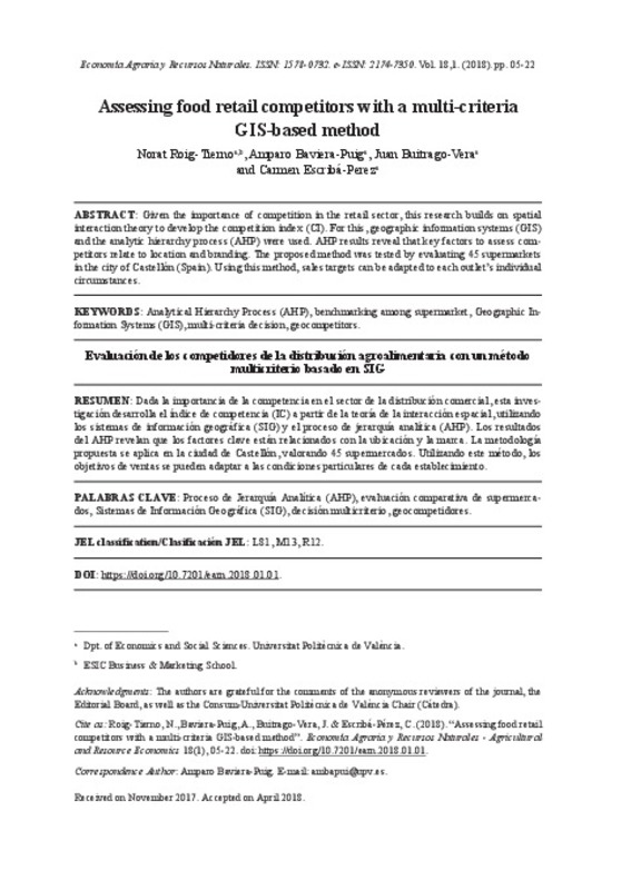
Roig-Tierno, Norat; Baviera-Puig, Amparo; Buitrago-Vera, Juan; Escribá-Pérez, Carmen (Universitat Politècnica de València, 2018-06-28)[EN] Given the importance of competition in the retail sector, this research builds on spatial interaction theory to develop the competition index (CI). For this, geographic information systems (GIS) and the analytic ...
-
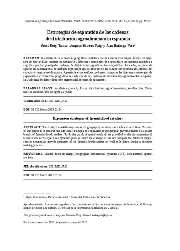
Roig-Tierno, Norat; Baviera-Puig, Amparo; Buitrago-Vera, Juan (Universitat Politècnica de València, 2015-12-18)[EN] The study of evolutionary economic geography receives more interest each time. The aim of this paper is to analyze the different strategies of expansion or geographic growth followed by major brands of Spanish food ...
-
Abdul Malak, Dania; Pausas, Juli G.; Pardo Pascual, Josep Eliseu; Ruiz Fernández, Luis Ángel (IGI Global, 2015-04)This study area is located in the eastern littoral of the Iberian Peninsula; its importance resides in its Mediterranean ecosystem, complex topography, extensive land use changes, and intensive forest fires history. The ...
-
Femenía Ribera, Carmen; Mora Navarro, Joaquin Gaspar; Martínez Llario, José Carlos; Coll Aliaga, Eloína (2012)Since the GeoBase project has used cartography, the Land Registry has reached new information technologies. This way, some new procedures and software for the edition, storage and analysis of the graphical information ...
-
Ionita, Florin Alexandru (Universitat Politècnica de València, 2023-09-15)[ES] Este trabajo tiene como objetivo principal el diseño e implementación de un sistema de información geográfica, con la finalidad de representar datos geoespaciales en un mapa interactivo. El objetivo secundario es ...
-
García-León, Josefina; García-Martín, Antonio; Cánovas Ambit, Jose Antonio (Universitat Politècnica de València, 2015-10-27)[EN] The main objective of this paper is to contribute to the knowledge of the topography of the city of Cartagena in the early Roman Empire times. A Geographic Information System has been used with data from numerous ...
-
Sancho Beneyto, Pau Enric (Universitat Politècnica de València, 2024-01-11)[ES] La contaminación auditiva produce efectos nocivos para nuestra salud tales como agitación respiratoria, aceleración del pulso, aumento de la presión arterial, dolor de cabeza, gastritis e incluso infartos. Por esa ...
-
Pérez Martín, Miguel Ángel (Universitat Politècnica de València, 2023-01-20)[ES] El agua como recurso natural en condiciones adecuadas para los ecosistemas terrestres y las actividades humanas es cada vez más escasa, lo cual es origen de tensiones crecientes entre los diferentes grupos sociales. ...
Mostrando ítems 1-11 de 11

Universitat Politècnica de València. Unidad de Documentación Científica de la Biblioteca (+34) 96 387 70 85 · RiuNet@bib.upv.es


