
Listar por palabra clave "Geomatics"
RiuNet: Repositorio Institucional de la Universidad Politécnica de Valencia
- RiuNet repositorio UPV
- :
- Listar por palabra clave
JavaScript is disabled for your browser. Some features of this site may not work without it.
Buscar en RiuNet
Listar
Mi cuenta
Ayuda RiuNet
Admin. UPV
Listar por palabra clave "Geomatics"
Mostrando ítems 1-20 de 31
-
Martín Furones, Ángel Esteban (Editorial Universitat Politècnica de València, 2021-10-14)The Congress in Geomatics Engineering aims to bring together scientists, academics and PhD students to exchange and share their results of research and innovation related to any Geomatics discipline. It offers a first-class ...
-
Bayarri, Vicente; Prada, Alfredo; García García, Francisco (MDPI AG, 2023-11)[EN] Integrating geomatics remote sensing technologies, including 3D terrestrial laser scanning, unmanned aerial vehicles, and ground penetrating radar enables the generation of comprehensive 2D, 2.5D, and 3D documentation ...
-
Bayarri, Vicente; Prada, Alfredo; García García, Francisco; De Las Heras, Carmen; Fatás, Pilar (MDPI AG, 2024-01)[EN] This paper addresses the conservation problems of the cave of Altamira, a UNESCO World Heritage Site in Santillana del Mar, Cantabria, Spain, due to the effects of moisture and water inside the cave. The study focuses ...
-
Collado, Angel; Mora-Navarro, Gaspar; Heras, Verónica; Lerma, José Luis (MDPI AG, 2021-12-28)[EN] Since ancient times, human beings have been interested in knowing their environment in order to make the right decisions in territorial management. The spatial component is a feature of great importance in the assets ...
-
Arroquia-Cuadros, Benjamin; Marqués-Mateu, Ángel; Sebastiá Tarín, Laura; Fdez-Arroyabe, Pablo (Springer-Verlag, 2021-08)[EN] Data are the fundamental building blocks to conduct scientific studies that seek to understand natural phenomena in space and time. The notion of data processing is ubiquitous and nearly operates in any project that ...
-
Fombuena, Arnau (Editorial Universitat Politècnica de València, 2017-10-23)[EN] The work presented in this paper is focused on employing maps for the visualization of the collaboration network of the Polytechnic University of Valencia (Spain). In this paper, a collaboration is understood as the ...
-
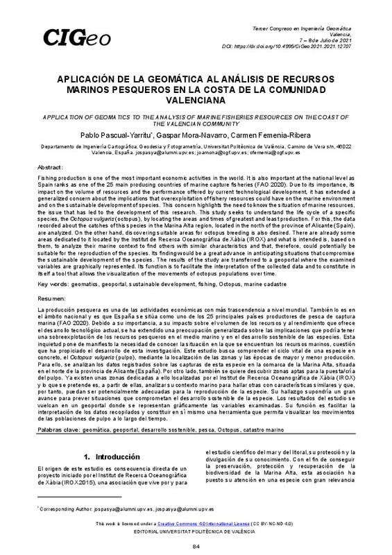
Pascual Yarritu, José Pablo; Mora Navarro, Joaquín Gaspar; Femenía Ribera, Carmen (Editorial Universitat Politècnica de València, 2021-10-01)[EN] Fishing production is one of the most important economic activities in the world. It is also important at the national level as Spain ranks as one of the 25 main producing countries of marine capture fisheries (FAO ...
-
Medina Martínez, Álvaro (Universitat Politècnica de València, 2021-10-08)[ES] El presente trabajo tiene como objetivo la modelización de elementos arqueológicos a través de datos LIDAR, en este caso trincheras de conflictos bélicos. Para la consecución de este objetivo se utilizarán herramientas ...
-
Miquel Cámara, Carla (Universitat Politècnica de València, 2021-10-05)[ES] El proyecto que se presenta a continuación tiene como objetivo el análisis de diferentes blogs y redes sociales enfocados al ámbito de la Geomática en español. La metodología empleada se basa en la recopilación de ...
-
Collado Murillo, Ángel (Universitat Politècnica de València, 2021-10-04)[ES] El presente trabajo de fin de máster está enmarcado dentro de la cooperación al desarrollo en Ecuador con la finalidad de gestionar el patrimonio de Cantón Nabón (Azuay). Dicha gestión está en la línea con el objetivo ...
-
Casado Mármol, Juan (Universitat Politècnica de València, 2023-02-20)[ES] El patrimonio de la humanidad está siendo afectado por una serie de factores humanos y naturales, tales como guerras, actividades vandálicas, así como inundaciones, terremotos y otros riesgos naturales derivados del ...
-
Pastor Alemany, José Luis (Universitat Politècnica de València, 2019-09-25)[ES] El concepto de ciudad inteligente se está definiendo en estos momentos a través de múltiples componentes como la economía, la educación, la gobernanza, el medio ambiente, la movilidad y en definitiva la vida urbana ...
-
Cuesta Vinuesa, Eduardo (Universitat Politècnica de València, 2017-09-04)[ES] Actualmente, en las empresas de tecnología se pueden encontrar como se tiende a realizar levantamientos topográficos usando vehículos aéreos no tripulados, se pueden definir mediante la experiencia que son de una gran ...
-
Castelló Martínez, Adrián (Universitat Politècnica de València, 2020-03-26)[EN] Taking the previous results in the field of the generalization of railways as base, in this thesis has been developed a new system of generalization of railways, using the theory of graph analysis, in combination with ...
-
Roch Talens, Ausias (Universitat Politècnica de València, 2020-09-08)[CA] La següent dissertació té com a objectiu realitzar una classificació dels compostos químics que es troben en la superfície del planeta Mart. Les dades utilitzades en este treball han estat preses pels ròvers i sondes ...
-
Prades, Albert; Matas, Gerard; Núñez-Andrés, Amparo; Buill, Felipe; Lantada, Nieves; Corominas, Jord (Editorial Universitat Politècnica de València, 2017-10-23)[EN] Determining the trajectory of a block that falls down on a slope is not straightforward due to the high number of variables involved. Because of this, the appropriate understanding of how these variables may affect ...
-
Sánchez-Jiménez, David; Buchón Moragues, Fernando Francisco; Escutia-Muñoz, Begoña; Botella-Estrada, Rafael (MDPI AG, 2019)[EN] This paper shows the progress in the development of two computer vision applications for measuring skin wounds. Both applications have been written in Python programming language and make use of OpenCV and Scipy open ...
-
Cabrelles, Miriam; Lerma, José Luis (Editorial Universitat Politècnica de València, 2017-10-23)[EN] Archaeological cultural heritage is a precious resource that should be transmitted to future generations. The 3D digital representation of monuments and sites has proven to be a reliable method for this aim. This ...
-
Sahuquillo Holzhauer, Alejandro (Universitat Politècnica de València, 2021-07-22)[ES] Este TFG tiene como finalidad estudiar la relación entre contagios de Covid-19 y la movilidad en España utilizando los SIG. Para ello, se utilizarán diferentes fuentes de datos oficiales y se realizará un estudio ...
-
Díaz Olivares, Santiago José (Universitat Politècnica de València, 2024-09-06)[ES] La Ciencia Ciudadana, en la que los ciudadanos participan voluntariamente en la investigación científica, ha crecido en popularidad y diversidad en las últimas décadas. El proyecto que se presenta, organizado ...
Mostrando ítems 1-20 de 31

Universitat Politècnica de València. Unidad de Documentación Científica de la Biblioteca (+34) 96 387 70 85 · RiuNet@bib.upv.es


