
Listar por palabra clave "Ground penetrating radar"
RiuNet: Repositorio Institucional de la Universidad Politécnica de Valencia
- RiuNet repositorio UPV
- :
- Listar por palabra clave
JavaScript is disabled for your browser. Some features of this site may not work without it.
Buscar en RiuNet
Listar
Mi cuenta
Ayuda RiuNet
Admin. UPV
Listar por palabra clave "Ground penetrating radar"
Mostrando ítems 1-20 de 23
-
Ocana-Levario, S.J.; Ayala Cabrera, David; Izquierdo Sebastián, Joaquín; Pérez García, Rafael (IWA Publishing, 2015-12)This paper presents some aspects of the time propagation of underground water leakage in controlled laboratory conditions using a drilled polyvinyl chloride (PVC) pipe and interpreting ground penetrating radar (GPR) images. ...
-
Ayala Cabrera, David; Ocaña Levario, Silvia Janeth; Izquierdo Sebastián, Joaquín; Pérez García, Rafael (2015)[EN] In this paper, a ground penetrating radar (GPR) is used as a non-destructive method to assess the buried elements of water supply systems (WSSs). The aim is the detection of various pipe materials (such as plastic ...
-
Bayarri, Vicente; Prada, Alfredo; García García, Francisco (MDPI AG, 2023-11)[EN] Integrating geomatics remote sensing technologies, including 3D terrestrial laser scanning, unmanned aerial vehicles, and ground penetrating radar enables the generation of comprehensive 2D, 2.5D, and 3D documentation ...
-
Bayarri, Vicente; Prada, Alfredo; García García, Francisco; De Las Heras, Carmen; Fatás, Pilar (MDPI AG, 2024-01)[EN] This paper addresses the conservation problems of the cave of Altamira, a UNESCO World Heritage Site in Santillana del Mar, Cantabria, Spain, due to the effects of moisture and water inside the cave. The study focuses ...
-
Val Muedra, Isabel del (Universitat Politècnica de València, 2015-04-30)[ES] El objetivo principal de este trabajo es analizar la capacidad de la técnica del georradar para detectar la profundidad de penetración de agua inyectada a presión en el hormigón endurecido. Para la consecución de ...
-
Fernández Castilla, Alberto Carlos (Universitat Politècnica de València, 2016-05-19)[EN] This work has sought to analyze the capacity of the non-destructive testing of the GPR as a tool for detection of the penetration of water front advance in the hardened concrete. In this process, a series of 24 test ...
-
Uriarte, Jesus A.; Damas Molla, Laura; Sagarna, Maialen; Aranburu, Arantza; García García, Francisco; Antiguedad, Inaki; Morales, Tomás (John Wiley & Sons, 2020-02-15)[EN] Locating and quantifying groundwater flow in many built-up areas are a priority with regard to its complete restoration. In this work, a hydrogeological survey of the surroundings of the Punta Begona Galleries (Getxo, ...
-
Ayala Cabrera, David; Herrera Fernández, Antonio Manuel; Izquierdo Sebastián, Joaquín; Pérez García, Rafael; Ocaña-Levario, S. (E.W. Publications, 2013)[EN] Water Supply Systems (WSS) are extremely complex assets. Suitable knowledge of their components and the changes they undergo are necessary to control and productively manage these systems. Currently, non-destructive ...
-
Sánchez Martí, Eliseo (Universitat Politècnica de València, 2015-04-27)[ES] Este Trabajo Fin de Máster está orientado a analizar la capacidad de los ensayos no destructivos con georradar como herramienta de detección del avance del frente de penetración de agua en el hormigón endurecido. Para ...
-
Frasquet Carrera, Nuria; Ortigueira Esplugues, Pablo (Universitat Politècnica de València, 2013-06-25)El objetivo de este proyecto es el análisis del empleo de técnicas no destructivas (en concreto el georradar y los ultrasonidos) como herramienta para evaluar las variaciones de humedad durante el proceso de curado del ...
-
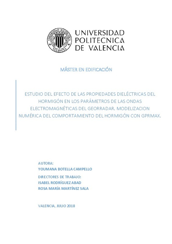
Botella Campello, Youmana Fina (Universitat Politècnica de València, 2018-09-18)[ES] El georradar es una técnica de ensayo de materiales que cada vez está más presente en diferentes campos de estudio debido a su carácter no destructivo. De hecho, es una técnica que en edificación se emplea cada vez ...
-
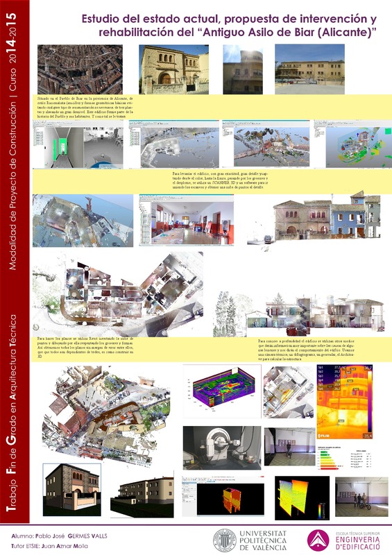
Germes Valls, Pablo José (Universitat Politècnica de València, 2015-10-20)[ES] Con este TFG la idea que tengo es continuar con un trabajo que se empezó en el año 2012 en colaboración de Ana Yepes y para el Ayuntamiento de Biar, como trabajo de una optativa. En este proyecto, se indaga y profundiza ...
-
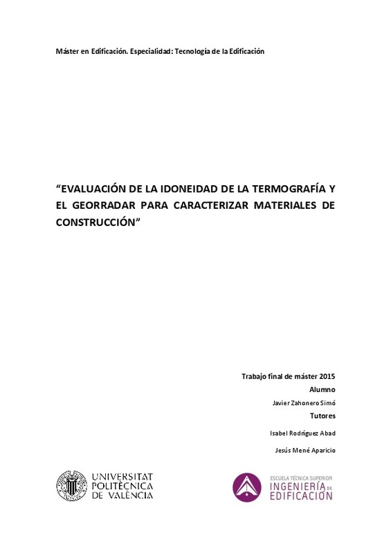
Zahonero Simó, Javier (Universitat Politècnica de València, 2015-11-13)[ES] En la actualidad la aplicación de técnicas no destructivas en el área de caracterización materiales de construcción está proporcionando resultados muy prometedores. En esta investigación se evalua el potencial de la ...
-
Ayala Cabrera, David; Herrera Fernández, Antonio Manuel; Izquierdo Sebastián, Joaquín; Pérez García, Rafael (Elsevier, 2014-04)In this paper a combination of the multi-agent paradigm and a very well known clustering technique is used for unsupervised classification of subsoil characteristics working on a collection of ground penetrating radar ...
-
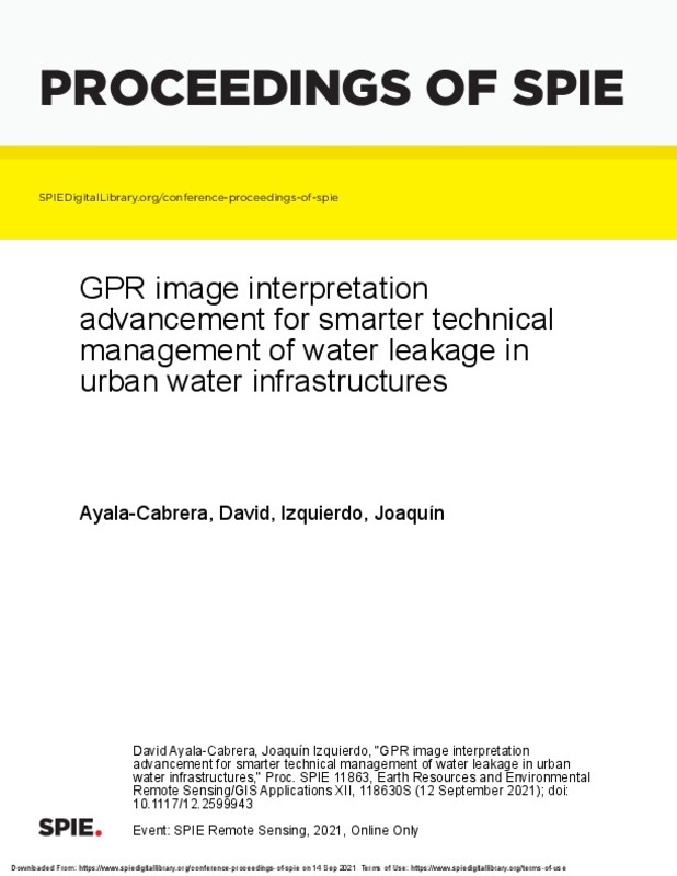
Ayala-Cabrera, David; Izquierdo Sebastián, Joaquín (Society of Photo-Optical Instrumentation Engineers (SPIE), 2021-10-06)[EN] This paper combines such powerful non-destructive technique as ground penetrating radar (GPR) with intelligent data analysis in order to acquire new knowledge on mapping/monitoring/verification systems aimed at initially ...
-
Bayarri, Vicente; Prada, Alfredo; García García, Francisco; Díaz-González, Lucía M.; De las Heras, Carmen; Castillo, Elena; Fatás, Pilar (MDPI AG, 2023-02)[EN] Rock art offers traces of our most remote past and was made with mineral and organic substances in shelters, walls, or the ceilings of caves. As it is notably fragile, it is fortunate that some instances remain ...
-
Ayala Cabrera, David; Herrera Fernández, Antonio Manuel; Izquierdo Sebastián, Joaquín; Pérez García, Rafael (Elsevier, 2011-12)This work focuses on the generation of tools to aid inspection and identify buried plastic pipes in water supply systems (WSS). In our study we use ground penetrating system (GPR) images as a non-destructive method of ...
-
Sabater Belmar, Leticia Ana (Universitat Politècnica de València, 2019-10-14)[ES] El georradar es una técnica geofísica basada en la propagación de ondas electromagnéticas que al ser recibidas por la antena del equipo proporcionan información de las propiedades dieléctricas del medio por el que ...
-
Ayala Cabrera, David; Herrera Fernández, Antonio Manuel; Montalvo Arango, Idel; Pérez García, Rafael (Elsevier, 2011-10)[EN] We propose a methodological tool for examining the layout and revealing the concealed characteristics of urban water supply systems (WSS). For this purpose, we use underground images obtained with ground penetrating ...
-
Valls Ayuso, Ana; García García, Francisco; Ramírez Blanco, Manuel Jesús; Benlloch Marco, Javier (Elsevier, 2015-08)Underground space has widely been used through history, provided either by natural or by dug cavities that were used as storage for farming production. In particular, cereals has constantly been present in the Mediterranean ...
Mostrando ítems 1-20 de 23

Universitat Politècnica de València. Unidad de Documentación Científica de la Biblioteca (+34) 96 387 70 85 · RiuNet@bib.upv.es


