
Listar por palabra clave "Historical cartography"
RiuNet: Repositorio Institucional de la Universidad Politécnica de Valencia
- RiuNet repositorio UPV
- :
- Listar por palabra clave
JavaScript is disabled for your browser. Some features of this site may not work without it.
Buscar en RiuNet
Listar
Mi cuenta
Ayuda RiuNet
Admin. UPV
Listar por palabra clave "Historical cartography"
Mostrando ítems 1-9 de 9
-
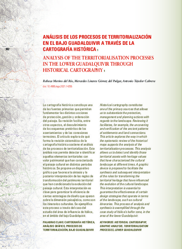
Merino del Río, Rebeca; Linares Gómez del Pulgar, Mercedes; Tejedor Cabrera, Antonio (Universitat Politècnica de València, 2021-03-24)[ES] La cartografía histórica constituye una de las fuentes primarias que permiten fundamentar las distintas acciones de protección, gestión y ordenación del paisaje. Su revisión facilita, entre otros aspectos, el ...
-
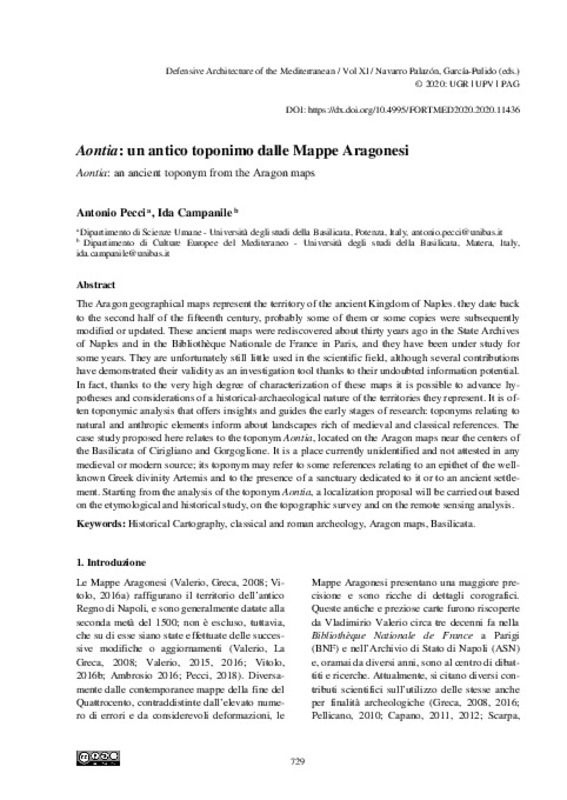
Pecci, Antonio; Campanile, Ida (Editorial Universitat Politècnica de València, 2020-05-15)[EN] The Aragon geographical maps represent the territory of the ancient Kingdom of Naples. they date back to the second half of the fifteenth century, probably some of them or some copies were subsequently modified or ...
-
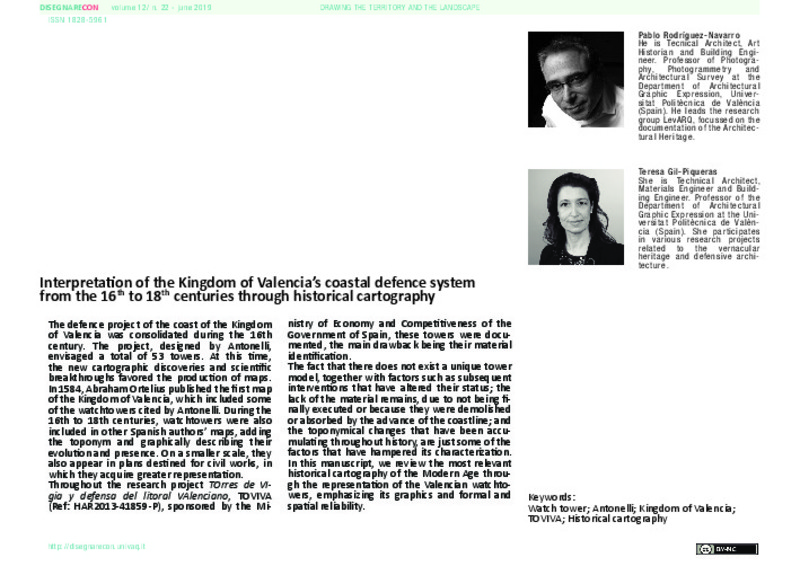
Rodríguez Navarro, Pablo; Gil Piqueras, Teresa (Università di Bologna, 2019-06)[EN] The defence project of the coast of the Kingdom of Valencia was consolidated during the 16th century. The project, designed by Antonelli, envisaged a total of 53 towers. At this time, the new cartographic discoveries ...
-
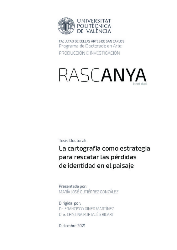
Gutiérrez González, María José (Universitat Politècnica de València, 2022-04-26)[ES] Esta tesis doctoral se ha centrado en la cartografía como dispositivo discursivo para interpretar el espacio habitado. Por tanto, en esta dirección se ha profundizado en el estado de la identidad del paisaje local de ...
-
Gutiérrez González, María José (Universitat Politècnica de València, 2018-12-30)[EN] In modern geography it took place the development of thematic maps and as a consequence, the maturation of qualitative cartography, where the psyche was key in its interpretation. In this context, the association of ...
-
Baños Oliver, Rosario; Salcedo Galera, Macarena (Universitat Politècnica de València, 2024-10-03)[EN] The guesthouses and inns constitute an important type of architecture in the history of communications and routes in Spain, as they reflect the way of life and the organization of the territory until 19th century. The ...
-
Aguilar-Camacho, Joaquín; Granado-Castro, Gabriel; Lozano-Martínez, Francisco (Editorial Universitat Politècnica de València, 2020-05-15)[EN] Most of the walls of Cádiz is mainly due to the works carried out on the seventeenth century. During this period the defenses of the Puerta Tierra wall –the city’s only terrestrial communication point– were expanded ...
-
García-Pulido, Luis José (Universitat Politècnica de València, 2016-05-09)[EN] The territory covered by the city of Granada has stimulated the admiration of all those that have known it along its history, as is shown by the various accounts and panoramic views. The city was strategically established ...
-
Morales Hidalgo, Yesmin Josefina (Universitat Politècnica de València, 2023-11-27)[ES] En este Trabajo Final de Master se propone un método histórico documental a nivel explicativo para crear hipótesis historiográficas de la morfología urbana del plano de la Real Fuerza, Baluartes y Linea de la Plaza ...
Mostrando ítems 1-9 de 9

Universitat Politècnica de València. Unidad de Documentación Científica de la Biblioteca (+34) 96 387 70 85 · RiuNet@bib.upv.es


