
Listar por palabra clave "INS"
RiuNet: Repositorio Institucional de la Universidad Politécnica de Valencia
- RiuNet repositorio UPV
- :
- Listar por palabra clave
JavaScript is disabled for your browser. Some features of this site may not work without it.
Buscar en RiuNet
Listar
Mi cuenta
Ayuda RiuNet
Admin. UPV
Listar por palabra clave "INS"
Mostrando ítems 1-5 de 5
-
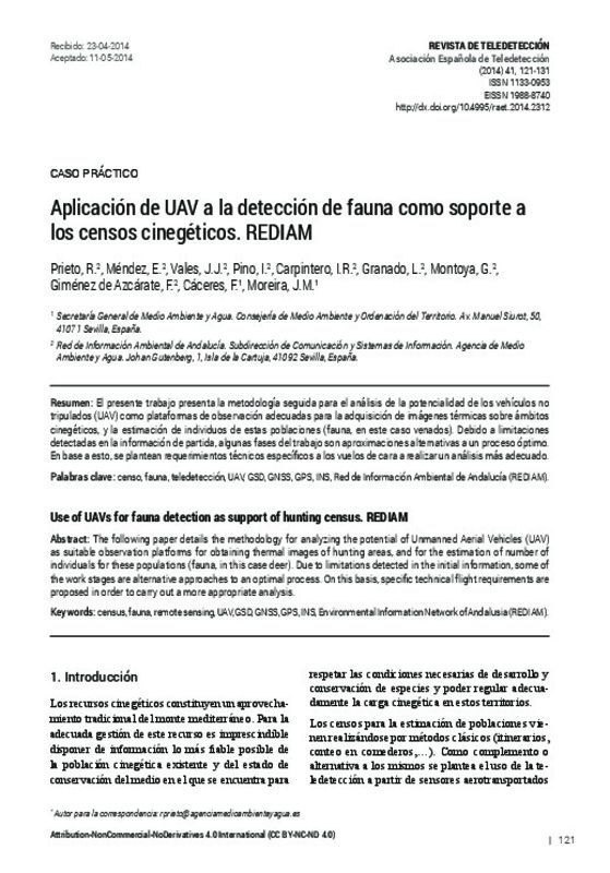
Prieto Molina, R.; Méndez, E.; Vales, J.J.; Pino, I.; Carpintero, I.R.; Granado, L.; Montoya, G.; Giménez de Azcárate, F.; Cáceres, F.; Moreira, J.M. (Editorial Universitat Politècnica de València, 2014-06-24)[EN] The following paper details the methodology for analyzing the potential of Unmanned Aerial Vehicles (UAV) as suitable observation platforms for obtaining thermal images of hunting areas, and for the estimation of ...
-
Bueno Muñoz, Vicente Eduardo (Universitat Politècnica de València, 2015-05-19)[ES] La tecnología LIDAR en los últimos años ha captado la atención para las utilidades de esta gestión de zonas forestales, zonas de cultivos etc... Basándose en medidas laser conjuntamente con medidas de posicionamiento. El ...
-
Baselga Moreno, Sergio; García-Asenjo Villamayor, Luis; Garrigues Talens, Pascual; Lerma, José Luis (Cambridge University Press, 2009-10)[EN] In the integration of Global Positioning System (GPS) and Inertial Navigation System (INS), the commonly used Kalman filter provides satisfactory results if both sources of information are continuously available. ...
-
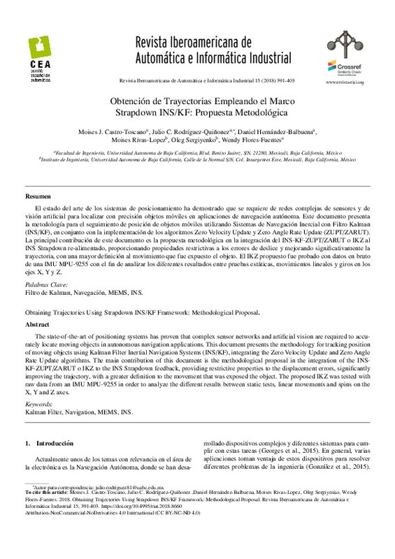
Castro-Toscano, Moises J.; Rodríguez-Quiñonez, Julio C.; Hernández-Balbuena, Daniel; Rivas-Lopez, Moises; Sergiyenko, Oleg; Flores-Fuentes, Wendy (Universitat Politècnica de València, 2018-09-24)[EN] The state-of-the-art of positioning systems has proven that complex sensor networks and artificial vision are required to accurately locate moving objects in autonomous navigation applications. This document presents ...
-
Navarro Tarin, Santiago (Editorial Universitat Politècnica de València, 2014-06-03)Las plataformas de georreferenciación de sensores, ya sean aerotransportadas, formando parte de los conocidos vehículos no tripulados (UAV), navales o terrestres, están teniendo mucho interés en los últimos años. La ...
Mostrando ítems 1-5 de 5

Universitat Politècnica de València. Unidad de Documentación Científica de la Biblioteca (+34) 96 387 70 85 · RiuNet@bib.upv.es


