
Listar por palabra clave "Landsat 8"
RiuNet: Repositorio Institucional de la Universidad Politécnica de Valencia
- RiuNet repositorio UPV
- :
- Listar por palabra clave
JavaScript is disabled for your browser. Some features of this site may not work without it.
Buscar en RiuNet
Listar
Mi cuenta
Ayuda RiuNet
Admin. UPV
Listar por palabra clave "Landsat 8"
Mostrando ítems 1-12 de 12
-
Sánchez-García, Elena; Palomar-Vázquez, Jesús; Pardo Pascual, Josep Eliseu; Almonacid-Caballer, J.; Cabezas-Rabadán, Carlos; Gómez Pujol, L. (Elsevier, 2020-09)[EN] Satellite images may constitute a useful source of information for coastal monitoring as long as it is possible to manage them in an efficient way and to derive precise indicators of the state of the beaches. In the ...
-
Rodríguez-Valero, M. I.; Alonso-Sarria, F. (Universitat Politècnica de València, 2019-06-27)[EN] This work presents a cartography of land uses in the Segura Hydrographic Demarcation obtained by classifying 2017 Landsat 8 images. The classification was carried out using two classifiers: Maximum Likelihood (ML) and ...
-
Briceño, I.; Pérez, W.; San Miguel, D.; Ramos, S. (Universitat Politècnica de València, 2018-12-26)[EN] Trophic structure deterioration in continental water bodies (lakes and damps) has been a growing problem during the last years. Numerous factors, either natural or man-made contribute in value increments of various ...
-
Hidalgo-García, David (Universitat Politècnica de València, 2021-07-21)[EN] The use of satellite images has become, in recent decades, one of the most common ways to determine the Land Surface Temperature (LST). One of them is through the use of Landsat 8 images that requires the use of ...
-
Willington, E.; Clemente, J. P.; Bocco, M. (Universitat Politècnica de València, 2015-12-22)[EN] Soil coverage and its modifications are critical variables in human-environmental sciences. Changes in land use are causes and consequences of climate change. This situation makes that detailed and updated information ...
-
Botella-Martínez, M. A.; Fernández-Manso, A. (Universitat Politècnica de València, 2017-12-05)[EN] In Mediterranean territories, with their characteristic climate that implies long periods of drought and rains often concentrated in torrential episodes, forest managers are faced with a series of decisions that can ...
-
Ávila-Pérez, I.D.; Ortiz-Malavassi, E.; Soto-Montoya, C.; Vargas-Solano, Y.; Aguilar-Arias, H.; Miller-Granados, C. (Universitat Politècnica de València, 2020-12-28)[EN] Mapping of land use and forest cover and assessing their changes is essential in the design of strategies to manage and preserve the natural resources of a country, and remote sensing have been extensively used with ...
-
Azzouzi, Soufiane Abdelaziz; Vidal Pantaleoni, Ana; Bentounes, Hadj Adda (Institute of Electrical and Electronics Engineers, 2018)[EN] Desertification is the persistent degradation of ecosystems caused by environmental changes and human activities. This is a global problem closely related to climate change with severe consequences in urban locations. ...
-
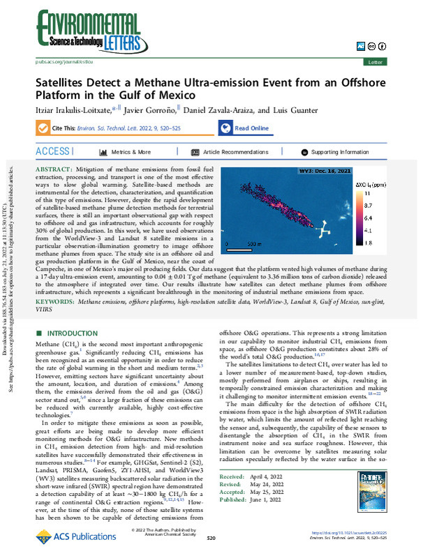
Irakulis-Loitxate, Itziar; Gorroño-Viñegla, Javier; Zavala-Araiza, Daniel; Guanter-Palomar, Luis María (American Chemical Society, 2022-06-14)[EN] Mitigation of methane emissions from fossil fuel extraction, processing, and transport is one of the most effective ways to slow global warming. Satellite-based methods are instrumental for the detection, characterization, ...
-
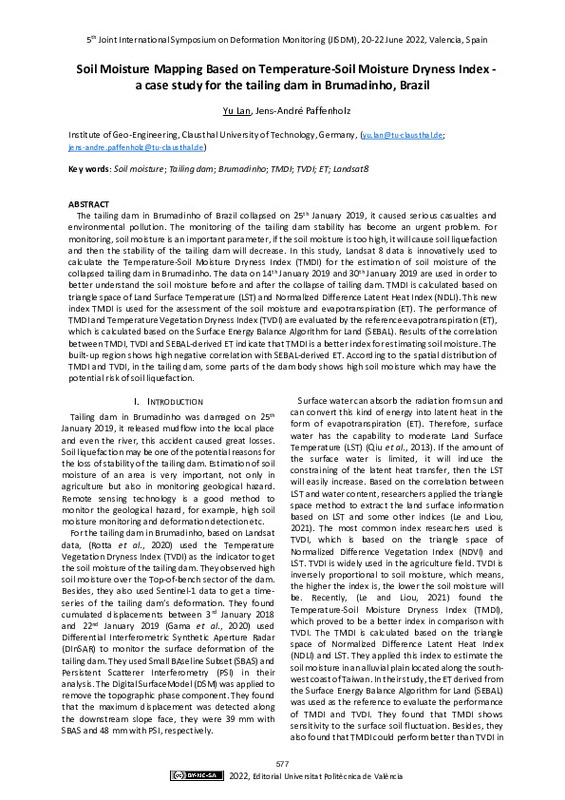
Lan, Yu; Paffenholz, Jens-André (Editorial Universitat Politècnica de València, 2023-01-27)[EN] The tailing dam in Brumadinho of Brazil collapsed on 25th January 2019, it caused serious casualties and environmental pollution. The monitoring of the tailing dam stability has become an urgent problem. For monitoring, ...
-
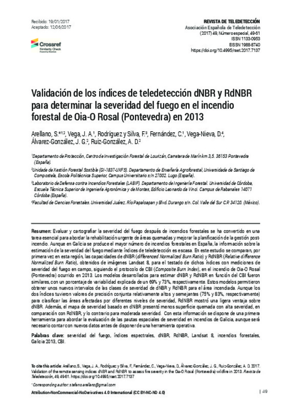
Arellano, S.; Vega, J.A.; Rodríguez y Silva, F.; Fernández, C.; Vega-Nieva, D.; Álvarez-González, J.G.; Ruiz-González, A.D. (Universitat Politècnica de València, 2017-12-05)[EN] Fire severity evaluation and mapping following wildfire is an essential task for post-fire rehabilitation activities and forest management planning. For that purpose, some spectral indexes are used to quantify the ...
-
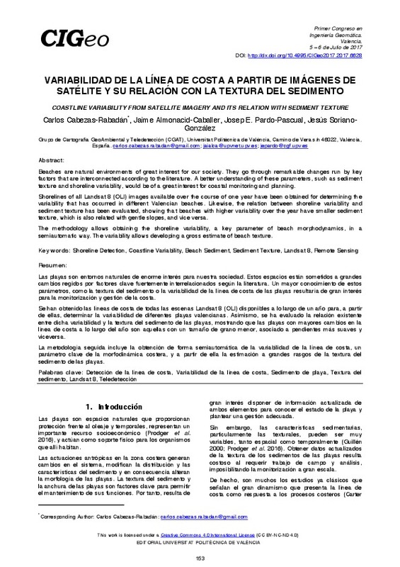
Cabezas-Rabadán, Carlos; Almonacid-Caballer, Jaime; Pardo-Pascual, Josep E.; Soriano-González, Jesús (Editorial Universitat Politècnica de València, 2017-10-23)[EN] Beaches are natural environments of great interest for our society. They go through remarkable changes run by key factors that are interconnected according to the literature. A better understanding of these parameters, ...
Mostrando ítems 1-12 de 12

Universitat Politècnica de València. Unidad de Documentación Científica de la Biblioteca (+34) 96 387 70 85 · RiuNet@bib.upv.es


