
Listar por palabra clave "Landsat-8"
RiuNet: Repositorio Institucional de la Universidad Politécnica de Valencia
- RiuNet repositorio UPV
- :
- Listar por palabra clave
JavaScript is disabled for your browser. Some features of this site may not work without it.
Buscar en RiuNet
Listar
Mi cuenta
Ayuda RiuNet
Admin. UPV
Listar por palabra clave "Landsat-8"
Mostrando ítems 1-8 de 8
-
Salas Arcas, Amalia (Universitat Politècnica de València, 2019-09-03)[ES] Los bosques mediterráneos de zonas semiáridas son considerados entornos con escasez hídrica y de baja productividad, como consecuencia, generalmente estos bosques terminan sin manejo forestal y abandonados, con el ...
-
Caselles Martí, Diego Camilo (Universitat Politècnica de València, 2015-06-23)La Misión de Continuidad de la serie Landsat (LDCM en inglés), rebautizada como Landsat-8 (L8), fue puesta en marcha en Febrero de 2013 y las operaciones de adquisición empezaron a mediados de abril del mismo año. Los ...
-
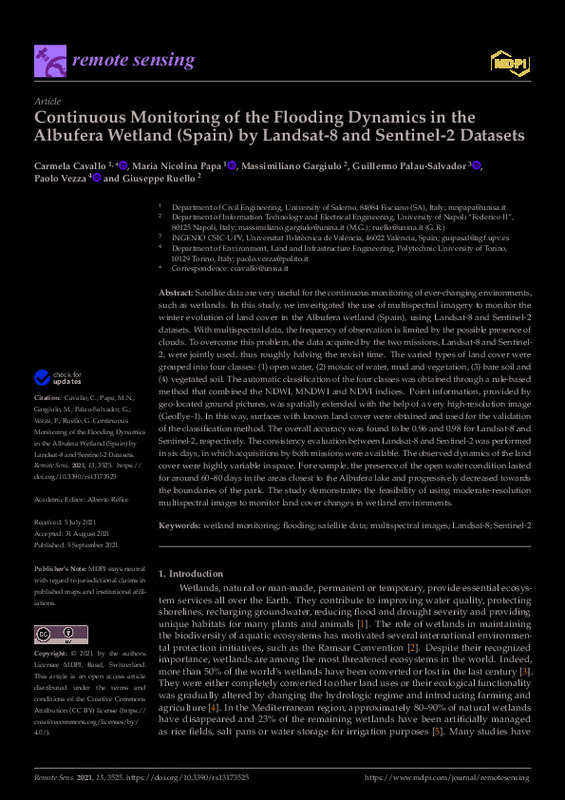
Cavallo, Carmela; Papa, Maria Nicolina; Gargiulo, Massimiliano; Palau-Salvador, Guillermo; Vezza, Paolo; Ruello, Giuseppe (MDPI AG, 2021-09)[EN] Satellite data are very useful for the continuous monitoring of ever-changing environments, such as wetlands. In this study, we investigated the use of multispectral imagery to monitor the winter evolution of land ...
-
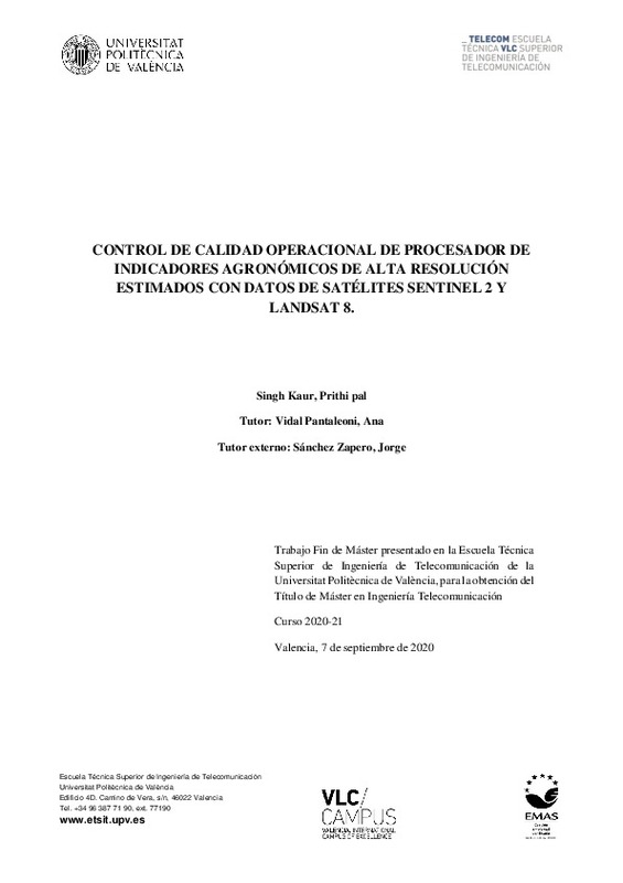
Singh Kaur, Prithipal (Universitat Politècnica de València, 2021-10-13)[ES] Nuestro proyecto tiene como objetivo la verificación y validación de una cadena de procesado encargada de estimar indicadores agronómicos de alta resolución espacio-temporal a partir de datos de satélites Sentinel-2 ...
-
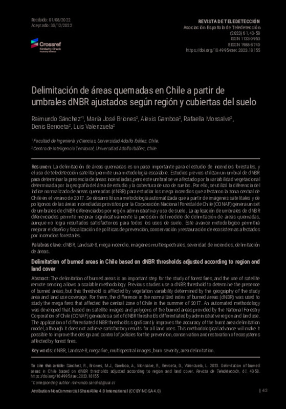
Sánchez, Raimundo; Briones, María José; Gamboa, Alexis; Monsalve, Rafaella; Berroeta, Denis; Valenzuela, Luis (Universitat Politècnica de València, 2023-01-30)[EN] The delimitation of burned areas is an important step for the study of forest fires, and the use of satellite remote sensing allows a scalable methodology. Previous studies use a dNBR threshold to determine the presence ...
-
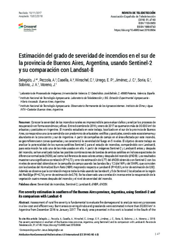
Delegido, J.; Pezzola, A.; Casella, A.; Winschel, C.; Urrego, E. P.; Jimenez, J. C.; Soria, G.; Sobrino, J. A.; Moreno, J. (Universitat Politècnica de València, 2018-06-29)[EN] Assessment of rural fire severity is fundamental to evaluate fire damages and to analyze recovery processes in a low-cost and efficient way. Burnt areas covering shrubs and grasslands were estimated in more than 30,000 ...
-
Jara, C.; Delegido, J.; Ayala, J.; Lozano, P.; Armas, A.; Flores, V. (Universitat Politècnica de València, 2019-06-27)[EN] The objective of the present study was to compare the Landsat-8 and Sentinel-2 images to calculate the wetland´s extension, distribution and degree of conservation, in Reserva de Producción de Fauna Chinborazo (RPFCH) ...
-
Alemán-Montes, Bryan; Serra, Pere; Zabala, Alaitz (Universitat Politècnica de València, 2023-01-30)[EN] Remote sensing offers important inputs for sugarcane yield estimation, since its temporal and spatial approaches allow monitoring the phenological cycle of the crop. The objective of this research was to apply an ...
Mostrando ítems 1-8 de 8

Universitat Politècnica de València. Unidad de Documentación Científica de la Biblioteca (+34) 96 387 70 85 · RiuNet@bib.upv.es


