
Listar por palabra clave "Landslides"
RiuNet: Repositorio Institucional de la Universidad Politécnica de Valencia
- RiuNet repositorio UPV
- :
- Listar por palabra clave
JavaScript is disabled for your browser. Some features of this site may not work without it.
Buscar en RiuNet
Listar
Mi cuenta
Ayuda RiuNet
Admin. UPV
Listar por palabra clave "Landslides"
Mostrando ítems 1-12 de 12
-
Vassilakis, Emmanuel; Konsolaki, Aliki; Petrakis, Stelios; Kotsi, Evangelia; Filis, Christos; Lozios, Stelios; Lekkas, Efthymios (Editorial Universitat Politècnica de València, 2023-01-27)[EN] The coastal area of Myrtos beach, is a very popular Natura protected area at the Northern part of Cephalonia Island, in W. Greece, which suffered severe damages during the Medicane named after “Ianos”, that affected ...
-
Galve, Jorge; Reyes-Carmona, Cristina; Barra, Anna; Béjar-Pizarro, Marta; Monserrat, Oriol; Garcia Campus, Ricardo; Zezere, Jose Luis; de Figueiredo Ferreira, Paulo; Figueira Damaso, Sara; Magro Siborro, Susana; Mateos, Rosa; Azañón, José Miguel (Editorial Universitat Politècnica de València, 2023-01-27)[EN] Web platforms and cloud computing are revolutionizing the remote sensing methodologies and improve significantly the capacity to analyze the Earth surface. Here, we present the Geohazard Exploitation Platform (GEP) ...
-
Barra, Anna; Colell, Xavier; Echeverria, Anna; Trapero, Laura; Marturia, Jordi; Fabregat, Ivan; Gao, Qi; Cuevas, María; Gasc, Muriel; Buxó, Pere; Dufour, Nathalie; Luzi, Guido; Crosetto, Michele (Editorial Universitat Politècnica de València, 2021-10-01)[EN] The objective of the POCTEFA - MOMPA project (Monitoring of Ground Movements and Action Protocol) is to provide a useful technical-operational tool for the prevention and management of risks due to slope movements, ...
-
Galindo Miguel, Beatriz (Universitat Politècnica de València, 2017-09-28)[EN] With an additional perspective when setting the implementation of a given one project where an informal settlement is located with a threat of slip. This work It intends to provide an overview of the actions and ...
-
Baselga Lluch, Omar (Universitat Politècnica de València, 2021-07-23)[ES] La idea central del presente TFG surge en el marco de unas prácticas curriculares del alumno autor en la empresa representante de Honda en Valencia y Gandía. Trata de la innovación, estudio, desarrollo y validación, ...
-
Depountis, Nikolaos; Kavoura, Katerina; Nikolakopoulos, Konstantinos; Drakatos, George; Argyrakis, Panagiotis; Elias, Panagiotis; Sabatakakis, Nikolaos (Editorial Universitat Politècnica de València, 2023-01-27)[EN] Many mountainous villages have been struck by landslides in Western Greece due to growing urbanization and uncontrolled land use in landslide prone areas, without considering the engineering geological environment. ...
-
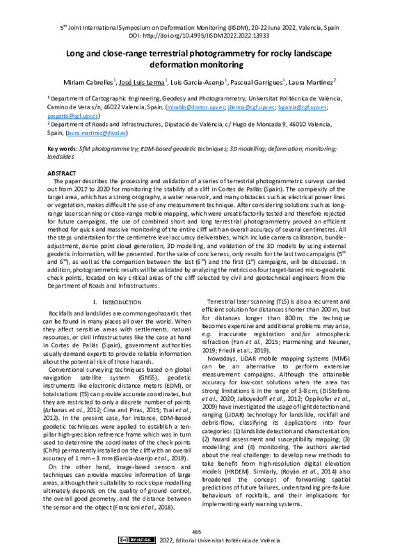
Cabrelles, Miriam; Lerma, José; García-Asenjo, Luis; Garrigues, Pascual; Martínez, Laura (Editorial Universitat Politècnica de València, 2023-01-27)[EN] The paper describes the processing and validation of a series of terrestrial photogrammetric surveys carried out from 2017 to 2020 for monitoring the stability of a cliff in Cortes de Pallás (Spain). The complexity ...
-
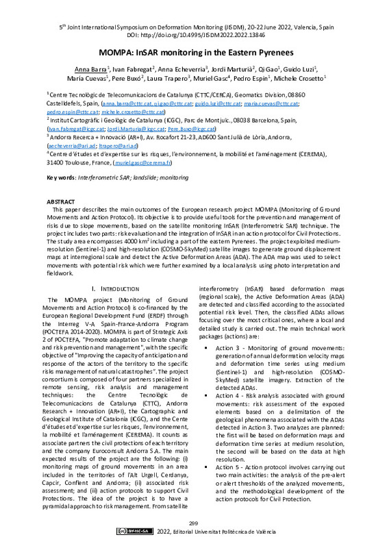
Barra, Anna; Fabregat, Ivan; Echeverria, Anna; Marturia, Jordi; Colell, Xavier; Gao, Qi; Luzi, Guido; Cuevas, María; Buxó, Pere; Trapero, Laura; Gasc, Muriel; Espin, Pedro; Crosetto, Michele (Editorial Universitat Politècnica de València, 2023-01-27)[EN] This paper describes the main outcomes of the European research project MOMPA (Monitoring of Ground Movements and Action Protocol). Its objective is to provide useful tools for the prevention and management of risks ...
-
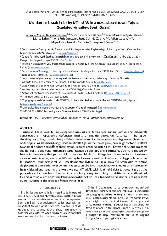
Ruiz-Armenteros, Antonio; Sánchez-Gómez, Mario; Delgado-Blasco, José Manuel; Bakon, Matus; Ruiz-Constán, Ana; Galindo-Zaldívar, Jesús; Lazecky, Milan; Marchamalo-Sacristán, Miguel; Sousa, Joaquim J. (Editorial Universitat Politècnica de València, 2023-01-27)[EN] Cities in Spain use to be overgrown around old towns (preroman, roman and medieval) constructed on topographic defensive heights of singular geological features. In the upper Guadalquivir valley, a tabular body of ...
-
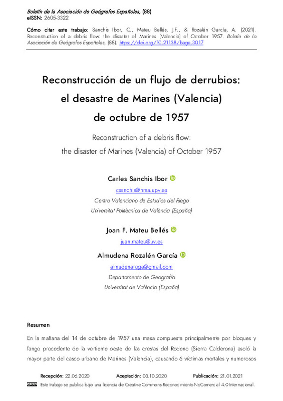
Sanchis Ibor, Carles; Mateu Bellés, Joan F.; Rozalén García, Almudena (Buletin Asociacion Geografos Espanoles, 2021)[ES] En la mañana del 14 de octubre de 1957 una masa compuesta principalmente por bloques y fango procedente de la vertiente oeste de las crestas del Rodeno (Sierra Calderona) asoló la mayor parte del casco urbano de Marines ...
-
Capilla Romá, Raquel; Berné Valero, José Luis; Martín Furones, Ángel Esteban; Rodrigo Alemany, Raül (Taylor & Francis: STM, Behavioural Science and Public Health Titles, 2016)[EN] The precise point positioning (PPP) is a Global Navigation Satellite System (GNSS) computation technique that performs precise positioning using a single receiver. This is the main advantage over the traditional ...
-
Alonso Pandavenes, Olegario Martin (Universitat Politècnica de València, 2024-02-15)[ES] Los deslizamientos son uno de los riesgos naturales que más trascendencia tiene en la actividad humana. En Ecuador, en época de lluvias (una de las dos estaciones del año), este tipo de eventos supone una de las mayores ...
Mostrando ítems 1-12 de 12

Universitat Politècnica de València. Unidad de Documentación Científica de la Biblioteca (+34) 96 387 70 85 · RiuNet@bib.upv.es


