
Listar por palabra clave "LiDAR"
RiuNet: Repositorio Institucional de la Universidad Politécnica de Valencia
- RiuNet repositorio UPV
- :
- Listar por palabra clave
JavaScript is disabled for your browser. Some features of this site may not work without it.
Buscar en RiuNet
Listar
Mi cuenta
Ayuda RiuNet
Admin. UPV
Listar por palabra clave "LiDAR"
Mostrando ítems 1-20 de 79
-
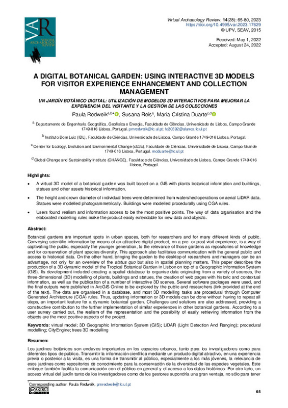
Redweik, Paula; Reis, Susana; Duarte, Maria Cristina (Universitat Politècnica de València, 2023-01-18)[EN] Botanical gardens are important spots in urban spaces, both for researchers and for many different kinds of public. Conveying scientific information by means of an attractive digital product, on a pre- or post-visit ...
-
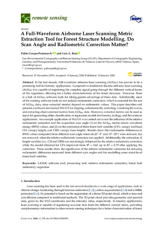
Crespo-Peremarch, Pablo; Ruiz Fernández, Luis Ángel (MDPI AG, 2020-01)[EN] In the last decade, full-waveform airborne laser scanning (ALSFW) has proven to be a promising tool for forestry applications. Compared to traditional discrete airborne laser scanning (ALSD), it is capable of registering ...
-
Balsa Barreiro, José; Lerma García, José Luis (Taylor & Francis: STM, Behavioural Science and Public Health Titles, 2014-02)The distribution of the discrete-return point density in airborne lidar flights obtained from an oscillating mirror laser scanner is analysed and alternative formulations to determine its value are presented. The point ...
-
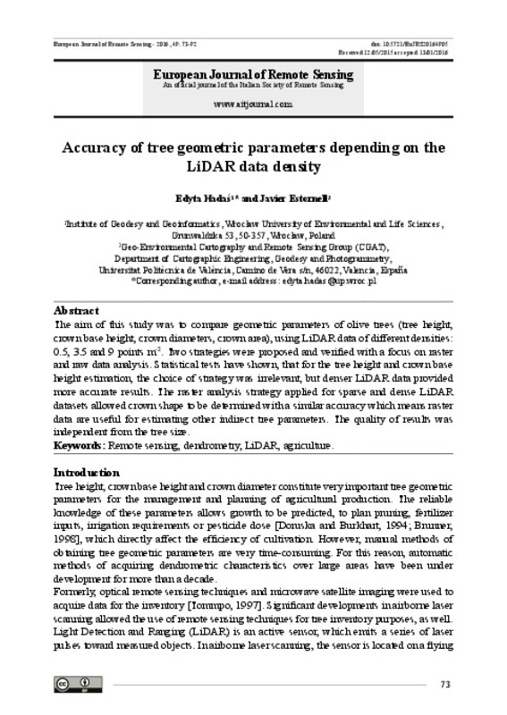
Hadás, Edyta; Estornell Cremades, Javier (Taylor & Francis, 2016)[EN] The aim of this study was to compare geometric parameters of olive trees (tree height, crown base height, crown diameters, crown area), using LiDAR data of different densities: 0.5, 3.5 and 9 points m(-2). Two strategies ...
-
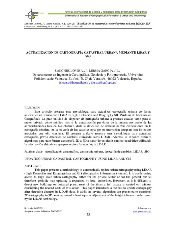
Sánchez Lopera, José; Lerma García, José Luis (Grupo de Tecnologías de la Información Geográfica, Asociación de Geógrafos Españoles, 2012-03)[EN] This paper presents a methodology to automatically update urban cartography using LiDAR (Light Detección And Ranging) data and GIS (Geographic Information Systems). It is worth having access to large scale urban ...
-
Liu, Junshan; Willkens, Danielle S.; Foreman, Graham (Universitat Politècnica de València, 2022-06-30)[EN] Heritage Building Information Modelling (or HBIM) is a multi-disciplinary process and a promising tool for the management and documentation of heritage structures. HBIM can record the significant historic events that ...
-
Ruiz Fernández, Luis Ángel; Recio Recio, Jorge Abel; Crespo-Peremarch, Pablo; Sapena, Marta (Taylor & Francis, 2018)[EN] Mapping forest structure variables provides important information for the estimation of forest biomass, carbon stocks, pasture suitability or for wildfire risk prevention and control. The optimization of the prediction ...
-
Mauro, Francisco; Monleón, V. J.; Temesgen, H.; Ruiz Fernández, Luis Ángel (Canadian Science Publishing, 2017)[EN] Accounting for spatial correlation of LiDAR model errors can improve the precision of model-based estimators. To estimate spatial correlation, sample designs that provide close observations are needed, but their ...
-
Estornell Cremades, Javier; Ruiz Fernández, Luis Ángel; Velázquez Martí, Borja; Hermosilla, T. (Taylor & Francis: STM, Behavioural Science and Public Health Titles, 2011)[EN] The creation of a quality Digital Terrain Model (DTM) is essential for representing and analyzing the Earth in a digital form. The continuous improvements in the acquisition and the potential of airborne Light Detection ...
-
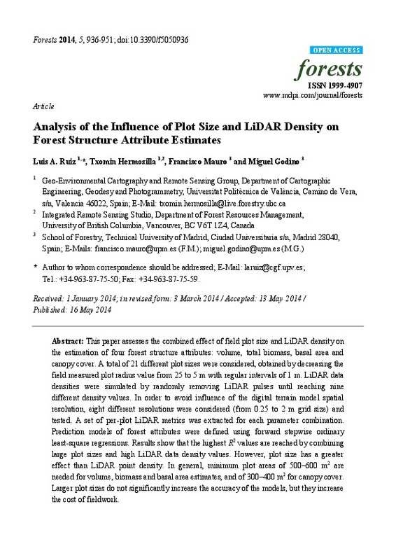
Ruiz Fernández, Luis Ángel; Hermosilla, T.; Mauro, Francisco; Godino, Miguel (MDPI AG, Basel, Switzerland, 2014)This paper assesses the combined effect of field plot size and LiDAR density on the estimation of four forest structure attributes: volume, total biomass, basal area and canopy cover. A total of 21 different plot sizes ...
-
Escrivà Peiró, Antoni (Universitat Politècnica de València, 2017-10-05)In this work it is proposed an alternative system to the traditional methods of field work for the analysis of riparian vegetation afected by the regulation of channels in rough terrain or with hard access. The main goal ...
-
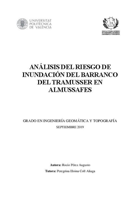
Perez Augusto, Rocio (Universitat Politècnica de València, 2019-09-27)[ES] Generación de modelos digitales de terreno a partir de datos LIDAR. Procesado de mapas de peligrosidad de inundación y cálculo de zona de graves daños. Generación de mapas de riesgo de inundación a partir del análisis ...
-
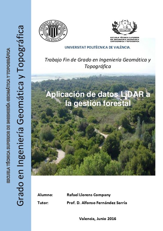
Llorens Company, Rafael (Universitat Politècnica de València, 2016-07-27)[ES] En el ámbito de la gestión forestal, este trabajo tiene como objetivo crear una metodología de procesado e integración de datos LIDAR con imágenes multiespectrales para aplicaciones forestales que requieren una ...
-
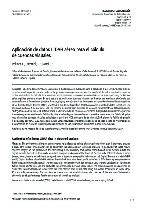
Pellicer, I.; Estornell Cremades, Javier; Martí, J. (Editorial Universitat Politècnica de València, 2014-06-24)[EN] The environmental impact assessment and landscape analysis of any work or activity over the territory requires a study of the visual impact what can be done from the application of viewshed analysis. The accuracy of ...
-
Jordán Francés, Vicente (Universitat Politècnica de València, 2015-09-23)The urban cadastral renovation is a necessary practice for all municipalities, since it can lead to the detection of structural irregularities not contemplated in the land. These irregularities directly or indirectly ...
-
Collado Latorre, Julián Carlos (Universitat Politècnica de València, 2017-09-01)The thesis aims to identify the different types of visual analysis in landscape assessment that can be used today and determine the versatility and suitability of the use of LiDAR technology to obtain visual analysis in ...
-
Hermosilla, T.; Ruiz Fernández, Luis Ángel; Recio Recio, Jorge Abel; Cambra López, María (Elsevier, 2012-05-15)A methodology for mapping urban land-use types integrating information from multiple data sources (high spatial resolution imagery, LiDAR data, and cadastral plots) is presented. A large set of complementary descriptive ...
-
Tárraga Martínez, Gema (Universitat Politècnica de València, 2015-07-20)[ES] Durante estas últimas décadas se ha producido una gran explotación urbanística de la zona costera mediterránea, creando, en algunas áreas un gran deterioro en la misma, sobretodo el los ecosistemas dunares que existen ...
-
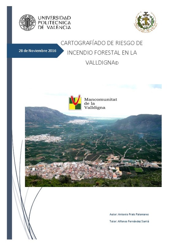
Prats Palomares, Antonio (Universitat Politècnica de València, 2017-01-02)[ES] El presente documento tiene como objetivo la realización de un mapa de riesgo de incendio forestal. Para alcanzar dicho objetivo se crearán dos mapas previamente, uno de peligro de ignición que junto al de peligro ...
-
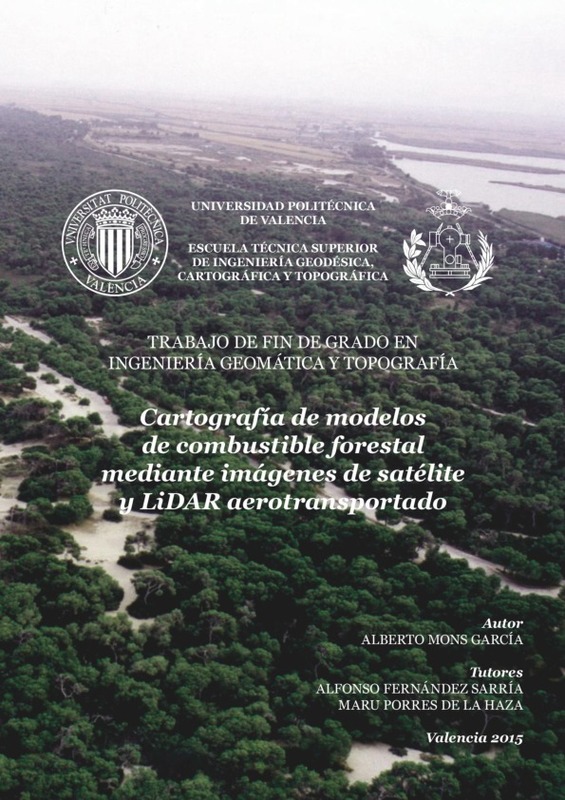
Mons García, Alberto (Universitat Politècnica de València, 2015-09-15)[ES] En el contexto de la lucha contra incendios, el presente trabajo desarrolla una metodología que permite la clasificación de la cubierta vegetal en función de su combustibilidad. La zona escogida para llevar a cabo ...
Mostrando ítems 1-20 de 79

Universitat Politècnica de València. Unidad de Documentación Científica de la Biblioteca (+34) 96 387 70 85 · RiuNet@bib.upv.es


