
Listar por palabra clave "Light detection and ranging (LiDAR)"
RiuNet: Repositorio Institucional de la Universidad Politécnica de Valencia
- RiuNet repositorio UPV
- :
- Listar por palabra clave
JavaScript is disabled for your browser. Some features of this site may not work without it.
Buscar en RiuNet
Listar
Mi cuenta
Ayuda RiuNet
Admin. UPV
Listar por palabra clave "Light detection and ranging (LiDAR)"
Mostrando ítems 1-9 de 9
-
Balsa Barreiro, José; Avariento Vicent, Joan Pere; Lerma García, José Luis (Academic Journals, 2012-08)The point density is a preeminent parameter on airborne laser scanner surveys. It is not only related to accuracy but costs and savings. The lack of uniformity of the point density across the survey is well-known in ...
-
Jia, Fengman; Lichti, Derek; Shor, Roman; Khawaja, Arsh; Kang, Min; Kepler, Max (Editorial Universitat Politècnica de València, 2023-01-27)[EN] Reservoir development in the petroleum industry starts with the drill bit. A drill bit’s dull condition must be closely monitored since it significantly influences the efficiency and the cost of drilling operations. ...
-
Olsen, Michael; Massey, Chris; Leshchinsky, Ben; Wartman, Joseph; Senogles, Andrew (Editorial Universitat Politècnica de València, 2023-01-27)[EN] Important infrastructure such as highways or railways traverse unstable terrain in many mountainous and scenic parts of the world. Rockfalls and landslides result in frequent maintenance needs, system unreliability ...
-
Medic, Tomislav; Ruttner, Pia; Holst, Christoph; Wieser, Andreas (Editorial Universitat Politècnica de València, 2023-01-27)[EN] Terrestrial laser scanners (TLSs) offer a possibility for more automated and efficient deformation monitoring of civil engineering structures with higher spatial resolution than standard methods, as well as without ...
-
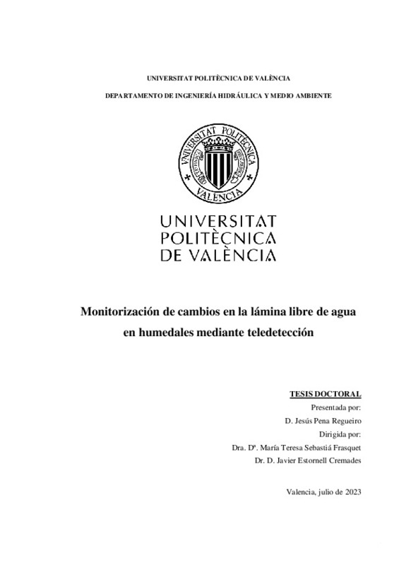
Pena Regueiro, Jesús (Universitat Politècnica de València, 2023-09-07)[ES] Los humedales son uno de los ecosistemas que reciben mayor atención por parte de la comunidad científica. Su importancia se puede explicar teniendo en cuenta que ayudan a mitigar los efectos de inundaciones, pueden ...
-
Fiz Fernández, José Ignacio; Martín Serrano, Pere Manel; Grau Salvat, Maria Mercè; Cartes Reverté, Antoni (Universitat Politècnica de València, 2023-04-04)[EN] Some archaeological results are shown in this article, which have been generated from the use of Synthetic Aperture Radar (SAR)-X images obtained from the PAZ satellite and applied to part of what was called Ager ...
-
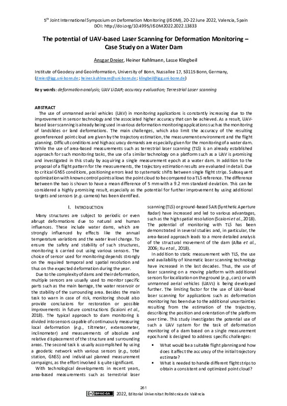
Dreier, Ansgar; Kuhlmann, Heiner; Klingbeil, Lasse (Editorial Universitat Politècnica de València, 2023-01-27)[EN] The use of unmanned aerial vehicles (UAV) in monitoring applications is constantly increasing due to the improvement in sensor technology and the associated higher accuracy that can be achieved. As a result, UAV-based ...
-
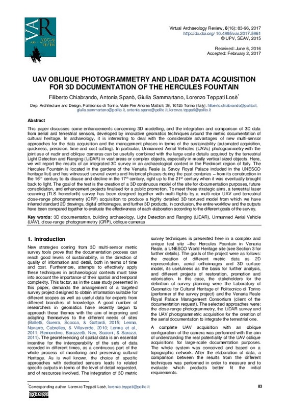
Chiabrando, Filiberto; Spanò, Antonia; Sammartano, Giulia; Teppati Losè, Lorenzo (Universitat Politècnica de València, 2017-05-22)[EN] This paper discusses some enhancements concerning 3D modelling, and the integration and comparison of 3D data from aerial and terrestrial sensors, developed by innovative geomatics techniques around the metric ...
-
Meyer, Nicholas; Schmid, Lorenz; Wieser, Andreas; Medic, Tomislav (Editorial Universitat Politècnica de València, 2023-01-27)[EN] Profile laser scanning allows sub-millimeter precise contact-free measurements with high spatial and temporal resolution. That makes it an appealing solution for structural health monitoring focusing on vibrations of ...
Mostrando ítems 1-9 de 9

Universitat Politècnica de València. Unidad de Documentación Científica de la Biblioteca (+34) 96 387 70 85 · RiuNet@bib.upv.es


