
Listar por palabra clave "Point clouds"
RiuNet: Repositorio Institucional de la Universidad Politécnica de Valencia
- RiuNet repositorio UPV
- :
- Listar por palabra clave
JavaScript is disabled for your browser. Some features of this site may not work without it.
Buscar en RiuNet
Listar
Mi cuenta
Ayuda RiuNet
Admin. UPV
Listar por palabra clave "Point clouds"
Mostrando ítems 1-18 de 18
-
Esser, Felix; Moraga, José Angel; Klingbeil, Lasse; Kuhlmann, Heiner (Editorial Universitat Politècnica de València, 2023-01-27)[EN] The detection of deformations on man-made structures such as bridges and dams are an essential task in engineering geodesy. The classical method uncovering deformations is based on geodetic networks using measurements ...
-
Torregrosa-Fuentes, David; Spairani Berrio, Yolanda; Huesca Tortosa, Jose Antonio; Cuevas González, Jaime; Torregrosa Fuentes, Adrián José (Universitat Politècnica de València, 2018-07-20)[EN] Extended Abstract:We present a methodological approach for the representation, visualisation and analysis of three-dimensional (3D) models of meaningful details in stone reliefs provided by digital documentation tools ...
-
Carbonell Rivera, Juan Pedro; Ruiz Fernández, Luis Ángel; Estornell Cremades, Javier (2023-06-01)Class3Dp is a software tool developed for supervised classification of photogrammetric point clouds. It allows the selection of training samples and classification of point clouds according to different features and machine ...
-
Bolkas, Dimitrios; O’Banion, Matthew; Prickett, Jakeb; Ellsworth, Gregory; Rusek, Gerald; Corson, Hannah (Editorial Universitat Politècnica de València, 2023-01-27)[EN] Monitoring of dams is an essential surveying task to guarantee the safety of operation and understand the physical processes concerning their movement. Point cloud generating technologies are increasingly being utilized ...
-
Aledo Portugués, Antonio (Universitat Politècnica de València, 2019-11-11)[ES] El objeto del presente trabajo será a extraer e interpretar datos de las mediciones de posición de un GPS y de una EcoSonda mediante un programa desarrollado en lenguaje Java en el entorno de NetBeans para obtener un ...
-
Barrientos Low, Cristobal Mauricio (Universitat Politècnica de València, 2019-05-08)[ES] Los mapas 2D de interiores se utilizan comúnmente en aplicaciones de navegación y simulación. Tradicionalmente se generan por personal cualificado en forma manual con equipos de alto coste y complejos de utilizar. Con ...
-
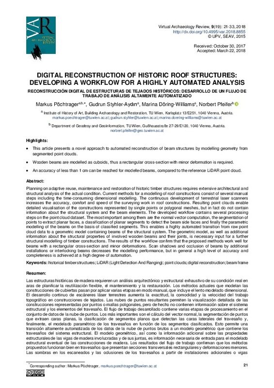
Pöchtrager, Markus; Styhler-Aydın, Gudrun; Döring-Williams, Marina; Pfeifer, Norbert (Universitat Politècnica de València, 2018-07-20)[EN] Planning on adaptive reuse, maintenance and restoration of historic timber structuresrequiresextensive architectural and structural analysis of the actual condition. Current methods for a modellingof roof constructions ...
-
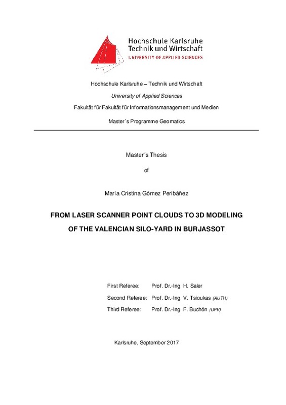
Gómez Peribáñez, María Cristina (Universitat Politècnica de València, 2020-03-26)[EN] This project of the Valencian Silos-Yard is part of the "Tri-national Cultural Heritage Documentation projects (2015-2018)", Baden-Württemberg Stipendium. The data collection took place in Burjassot (Valencia, Spain) ...
-
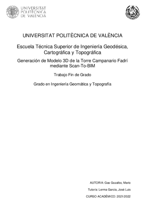
Gas Gozalbo, Mario (Universitat Politècnica de València, 2022-09-01)[ES] El objetivo principal de este proyecto es obtener un modelo 3D preciso de la torre campanario “Fadrí” para poderlo utilizar en favor de su conservación, así como los objetivos académicos ligados a la realización de ...
-
García-Valldecabres, Jorge; Romaní López, Conxeta (Universitat Politècnica de València, 2024-06-29)[EN] Any intervention in the architectural heritage requires a complete and rigorous drawing of plans on which the materials used in the construction and the injuries that affect the building can be represented. Using this ...
-
Soares, Fernando; Barbon, Vinicius (Editorial Universitat Politècnica de València, 2023-01-27)[EN] A rubble mound breakwater (BW) is a coastal engineering structure built for purposes of harbor protection in areas with severe wave regimes. Block displacements can lead to a weakening of the protection, making the ...
-
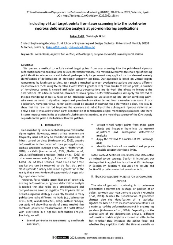
Raffl, Lukas; Holst, Christoph (Editorial Universitat Politècnica de València, 2023-01-27)[EN] We present a method to include virtual target points from laser scanning into the point-based rigorous deformation analysis to derive precise 3D deformation vectors. This method overcomes the challenge of missing point ...
-
Medic, Tomislav; Ruttner, Pia; Holst, Christoph; Wieser, Andreas (Editorial Universitat Politècnica de València, 2023-01-27)[EN] Terrestrial laser scanners (TLSs) offer a possibility for more automated and efficient deformation monitoring of civil engineering structures with higher spatial resolution than standard methods, as well as without ...
-
Jordá Iranzo, Guillermo (Universitat Politècnica de València, 2018-10-01)[ES] Este proyecto consiste en el levantamiento con láser escáner de un puente en la localidad de Boquerón, en Chiriquí (Panamá). Se obtendrá información en 3D del puente para utilizarlo como modelo en la construcción ...
-
Carbonell Rivera, Juan Pedro; Torralba, Jesús; Crespo Peremarch, Pablo; Ruiz Fernández, Luis Ángel (Universitat Politècnica de València, 2023-06-14)This dataset contains RGB and multispectral point clouds of the Sierra Calderona Natural Park, obtained by UAV digital aerial photogrammetry.
-
Matrone, Francesca; Martini, Massimo (Universitat Politècnica de València, 2021-07-14)[EN] The growing availability of three-dimensional (3D) data, such as point clouds, coming from Light Detection and Ranging (LiDAR), Mobile Mapping Systems (MMSs) or Unmanned Aerial Vehicles (UAVs), provides the opportunity ...
-
Kerekes, Gabriel; Raschhofer, Jakob; Harmening, Corinna; Neuner, Hans; Schwieger, Volker (Editorial Universitat Politècnica de València, 2023-01-27)[EN] This contribution presents a B-spline-based approach of area-wise deformation analysis applied on elements of a double curved wooden tower. The monitored object is the Urbach Tower with a height of 14 m. Terrestrial ...
-
Meyer, Nicholas; Schmid, Lorenz; Wieser, Andreas; Medic, Tomislav (Editorial Universitat Politècnica de València, 2023-01-27)[EN] Profile laser scanning allows sub-millimeter precise contact-free measurements with high spatial and temporal resolution. That makes it an appealing solution for structural health monitoring focusing on vibrations of ...
Mostrando ítems 1-18 de 18

Universitat Politècnica de València. Unidad de Documentación Científica de la Biblioteca (+34) 96 387 70 85 · RiuNet@bib.upv.es


