
Listar por palabra clave "Remote sensing"
RiuNet: Repositorio Institucional de la Universidad Politécnica de Valencia
- RiuNet repositorio UPV
- :
- Listar por palabra clave
JavaScript is disabled for your browser. Some features of this site may not work without it.
Buscar en RiuNet
Listar
Mi cuenta
Ayuda RiuNet
Admin. UPV
Listar por palabra clave "Remote sensing"
Mostrando ítems 1-20 de 245
-
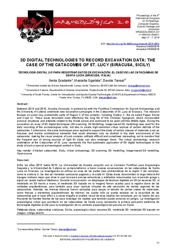
Gradante, Ilenia; Sgarlata, Mariarita; Tanasi, Davide (Editorial Universitat Politècnica de València, 2016-10-27)[EN] Between 2013 and 2015, Arcadia University in partnership with the Pontifical Commission for Sacred Archaeology and the University of Catania undertook new excavation campaigns in the Catacombs of St. Lucy at Siracusa. ...
-
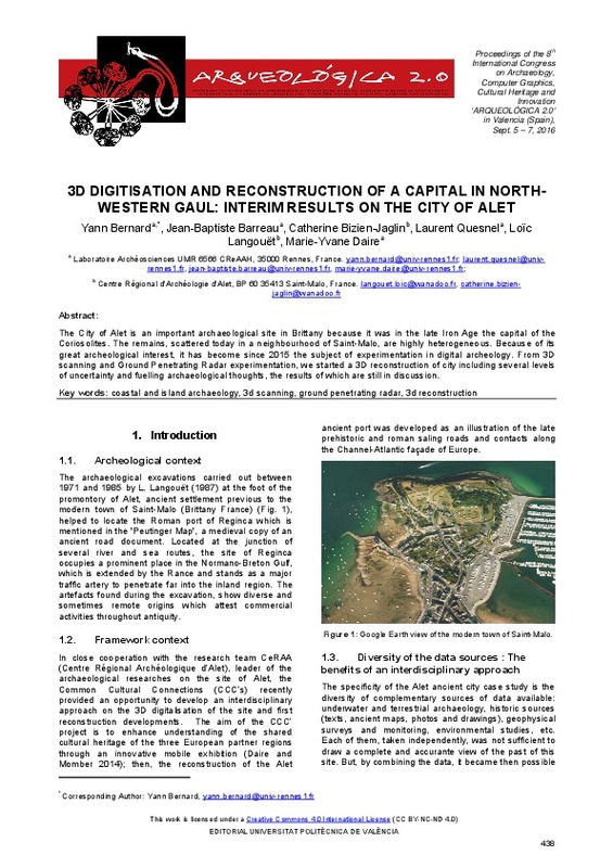
Bernard, Yann; Barreau, Jean-Baptiste; Bizien-Jaglin, Catherine; Quesnel, Laurent; Langouët, Loïc; Daire, Marie-Yvane (Editorial Universitat Politècnica de València, 2016-10-27)[EN] The City of Alet is an important archaeological site in Brittany because it was in the late Iron Age the capital of the Coriosolites. The remains, scattered today in a neighbourhood of Saint-Malo, are highly heterogeneous. ...
-
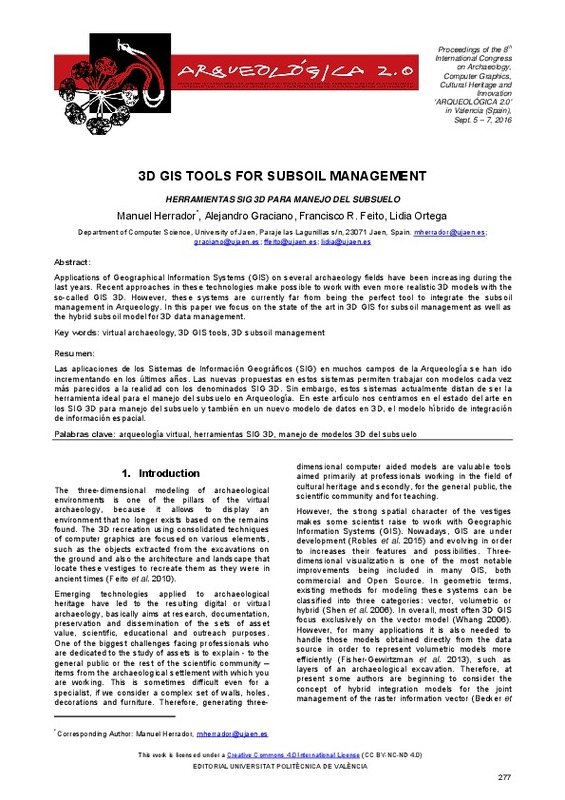
Herrador, Manuel; Graciano, Alejandro; Feito, Francisco Ramón; Ortega, Lidia (Editorial Universitat Politècnica de València, 2016-10-27)[EN] Applications of Geographical Information Systems (GIS) on several archaeology fields have been increasing during the last years. Recent approaches in these technologies make possible to work with even more realistic ...
-
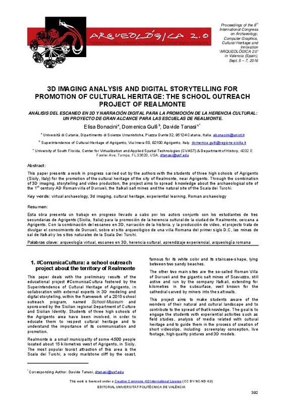
Bonacini, Elisa; Gullì, Domenica; Tanasi, Davide (Editorial Universitat Politècnica de València, 2016-10-27)[EN] This paper presents a work in progress carried out by the authors with the students of three high schools of Agrigento (Sicily, Italy) for the promotion of the cultural heritage of the city of Realmonte, near Agrigento. ...
-
Farella, Elisa; Menna, Fabio; Remondino, Fabio; Campi, Massimiliano (Editorial Universitat Politècnica de València, 2016-10-27)[EN] A large amount of 3D digital models, acquired with reality-based techniques or modelled with CAAD methods, are today part of archaeological studies. This new form of heritage documentation has deeply changed the ...
-
Chiabrando, Filiberto; D'Andria, Francesco; Sammartano, Giulia; Spanò, Antonia (Editorial Universitat Politècnica de València, 2016-10-27)[EN] In areas of archaeological excavation with architectural complexes, the generation of 3D data and their spatial information updating can now benefit from UAV photogrammetry. This technique shows a very rapid development ...
-
Iovane, Domenico; Cera, Valeria (Editorial Universitat Politècnica de València, 2016-10-27)[EN] Survey in Archaeology is aimed to represent, map and model the existent. The reality based modern techniques allow to acquire a large amount of geometric, colorimetric and volumetric informations on which deepen ...
-
Manzetti, Maria Cristina (Editorial Universitat Politècnica de València, 2016-10-27)[EN] Correct interpretation of lost monuments is something really craved from an archaeological point of view but most of the time it is also very hard to obtain. In recent years, Virtual Archaeology and 3D modelling are ...
-
Ruiz Fernández, Luis Ángel; Recio Recio, Jorge Abel; Fernández-Sarría, Alfonso; Hermosilla, T. (Elsevier, 2011-05-01)A software application for automatic descriptive feature extraction from image-objects, FETEX 2.0, is presented and described in this paper. The input data include a multispectral high resolution digital image and a vector ...
-
Fita, José Luis; Besuievsky, Gonzalo; Patow, Gustavo A. (Editorial Universitat Politècnica de València, 2016-10-27)[EN] We introduce a study focused on procedural modeling papers that use methods of structural analysis, especially in its application to historic buildings such as churches and cathedrals. Moreover, we have taken a ...
-
Naethe, Paul; Julitta, Tommaso; Yao-Yung Chang, Christine; Burkart, Andreas; Migliavacca, Mirco; Guanter-Palomar, Luis María; Rascher, Uwe (Elsevier, 2022-10-15)[EN] Remote sensing employs solar-induced chlorophyll fluorescence (SIF) as a proxy for photosynthesis from field to airborne and satellite sensors. The investigation of SIF offers a unique way of studying vegetation ...
-
Lianos, Nikolaos; Anastasios, Anastasios (Editorial Universitat Politècnica de València, 2016-10-27)[EN] Facing the need for effective and efficient integration of spatial and descriptive information related to the documentation of the cultural heritage, the primary aim of this project is the production of a dynamic ...
-
Carbonell-Rivera, Juan Pedro; Estornell, Javier; Ruiz, Luis; Abad, Alfonso; Felten, Bettina; Torralba, Jesús (Editorial Universitat Politècnica de València, 2021-10-01)[EN] In recent years, Remote Sensing (RS) and its derived products have been used as a key tool for the detection, monitoring, management and future use of Marginal Lands (ML). Currently, there is no single, universally ...
-
Hadás, Edyta; Estornell Cremades, Javier (Taylor & Francis, 2016)[EN] The aim of this study was to compare geometric parameters of olive trees (tree height, crown base height, crown diameters, crown area), using LiDAR data of different densities: 0.5, 3.5 and 9 points m(-2). Two strategies ...
-
Molina, Juana; Jordá, Jesús F. (Editorial Universitat Politècnica de València, 2016-10-27)[EN] With the firm conviction that current Archaeology needs to use all the tools that computer science provides, we have developed a project of mechanization and structuring of all the information gathered from the ...
-
Parra Boronat, Mar (Universitat Politècnica de València, 2020-10-20)[ES] Las imágenes satelitales son una forma de teledetección que se puede utilizar para varios fines ecológicos. La teledetección ha sido utilizada incluso para analizar la calidad del agua. Hay muchos índices que utilizan ...
-
Ruiz Fernández, Luis Ángel; Hermosilla, T.; Mauro, Francisco; Godino, Miguel (MDPI AG, Basel, Switzerland, 2014)This paper assesses the combined effect of field plot size and LiDAR density on the estimation of four forest structure attributes: volume, total biomass, basal area and canopy cover. A total of 21 different plot sizes ...
-
Pardo Pascual, Josep Eliseu; Palomar-Vázquez, Jesús; Cabezas-Rabadán, Carlos (Universidad de la Rioja, 2022-07-14)[EN] Beaches are spaces of paramount importance for coastal societies currently threatened by coastal erosion. Their preservation requires accurate quantification of their changes in order to understand their behavior and ...
-
Bermell Del Fresno, Jorge (Universitat Politècnica de València, 2023-09-12)[ES] La Comunidad Valenciana es una zona altamente vulnerable a los incendios forestales debido a su clima mediterráneo y su densidad de masa forestal. Durante los últimos años, se ha registrado un aumento significativo ...
-
Alcalde Molino, María José (Universitat Politècnica de València, 2021-01-04)[ES] Según varios autores, han identificado las zonas de montaña como regiones vulnerables a los efectos del cambio climático, ya que provoca variaciones en la nieve, que hace que esta pueda tener más concentraciones de ...
Mostrando ítems 1-20 de 245

Universitat Politècnica de València. Unidad de Documentación Científica de la Biblioteca (+34) 96 387 70 85 · RiuNet@bib.upv.es


