
Listar por palabra clave "Satellite imagery"
RiuNet: Repositorio Institucional de la Universidad Politécnica de Valencia
- RiuNet repositorio UPV
- :
- Listar por palabra clave
JavaScript is disabled for your browser. Some features of this site may not work without it.
Buscar en RiuNet
Listar
Mi cuenta
Ayuda RiuNet
Admin. UPV
Listar por palabra clave "Satellite imagery"
Mostrando ítems 1-11 de 11
-
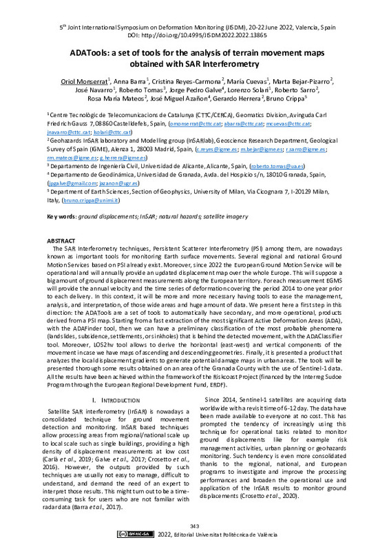
Monserrat, Oriol; Barra, Anna; Reyes-Carmona, Cristina; Bejar Pizarro, Marta; Cuevas, María; Bejar-Pizarro, Marta; Navarro, José; Tomas, Roberto; Galve, Jorge Pedro; Solari, Lorenzo; Sarro, Roberto; Mateos, Rosa Maria; Azañon, José Miguel; Herrera, Gerardo; Crippa, Bruno (Editorial Universitat Politècnica de València, 2023-01-27)[EN] The SAR Interferometry techniques, Persistent Scatterer Interferometry (PSI) among them, are nowadays known as important tools for monitoring Earth surface movements. Several regional and national Ground Motion Services ...
-
Pardo Pascual, Josep Eliseu; Almonacid Caballer, Jaime; Ruiz Fernández, Luis Ángel; Palomar-Vázquez, Jesús (Elsevier, 2012-08)A high precision geometric method for automated shoreline detection from Landsat TM and ETM+ imagery is presented. The methodology is based on the application of an algorithm that ensures accurate image geometric registration ...
-
Vidal Pantaleoni, Ana; Moreno Cambroreno, María del Rocío (Taylor & Francis (Routledge): STM, Behavioural Science and Public Health Titles, 2011-12)Optical and microwave high spatial resolution images are now available for a wide range of applications. In this work, they have been applied for the semi-automatic change detection of isolated housing in agricultural ...
-
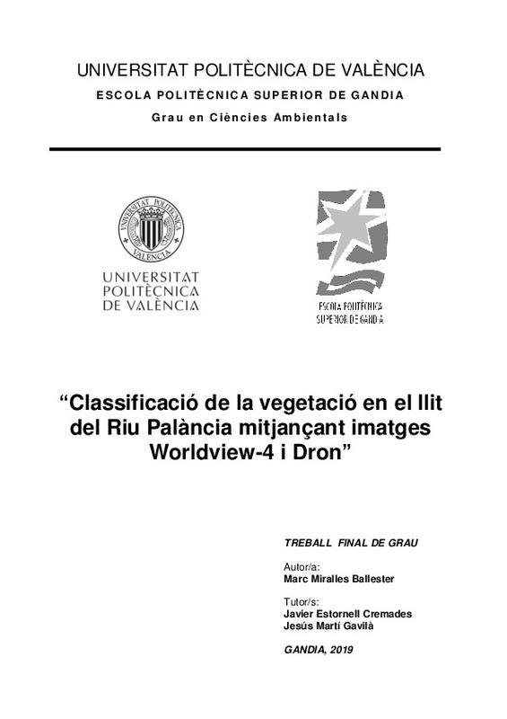
Miralles Ballester, Marc (Universitat Politècnica de València, 2019-11-12)[CA] La teledetecció s'ha convertit en les últimes dècades en una eina imprescindible en nombrosos àmbits de la nostra societat, i en concret, en l’estudi, investigació, gestió de la superfície terrestre. Per al cas que ...
-
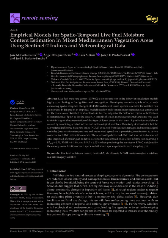
Costa-Saura, José M.; Balaguer-Beser, Ángel; Ruiz Fernández, Luis Ángel; Pardo Pascual, Josep Eliseu; Soriano-Sancho, José L. (MDPI AG, 2021-09)[EN] Live fuel moisture content (LFMC) is an input factor in fire behavior simulation models highly contributing to fire ignition and propagation. Developing models capable of accurately estimating spatio-temporal changes ...
-
Obrador Reina, Miquel (Universitat Politècnica de València, 2024-10-27)[ES] Este trabajo investiga técnicas avanzadas de segmentación de imágenes satelitales mediante la fusión multimodal de datos de diferentes satélites, específicamente Sentinel-1 y Sentinel-2. Sentinel-1 ofrece imágenes ...
-
Ramos Moreno, Santiago (Universitat Politècnica de València, 2018-09-26)[ES] Se realizará un cartografiado de los cambios en los usos del suelo en una zona a lo largo del tiempo mediante el uso combinado de imágenes aéreas y satelitales así como con varios métodos de detección de cambios. La ...
-
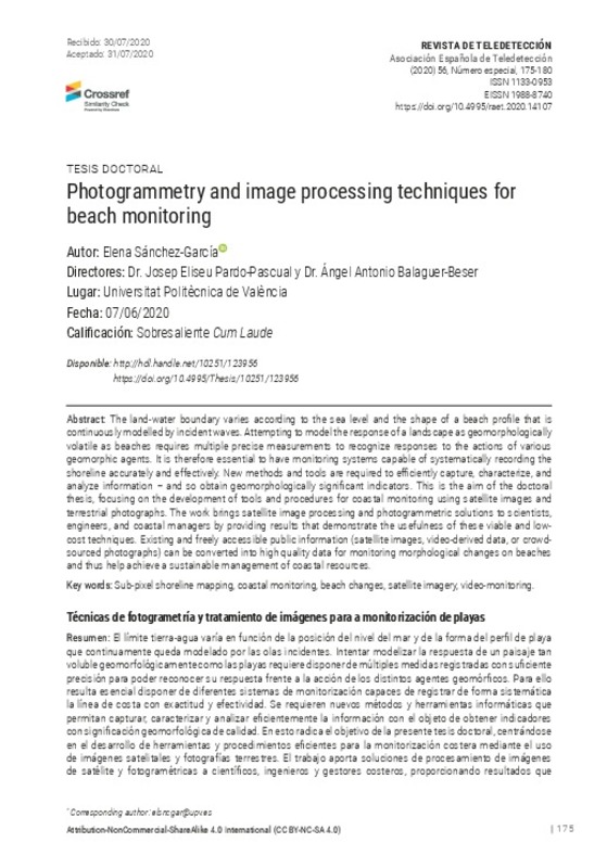
Sánchez-García, Elena; Balaguer-Beser, Ángel; Pardo-Pascual, Josep Eliseu (2020-11-27)[EN] The land-water boundary varies according to the sea level and the shape of a beach profile that is continuously modelled by incident waves. Attempting to model the response of a landscape as geomorphologically volatile ...
-
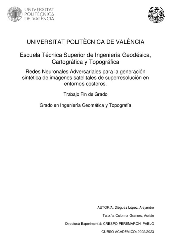
Diéguez López, Alejandro (Universitat Politècnica de València, 2023-09-06)[ES] En los últimos tiempos, debido a la afección del cambio climático y a otros procesos antrópicos, muchas zonas costeras del planeta están sufriendo cambios continuos que provocan variaciones constantes en las líneas ...
-
Camacho Torregrosa, Francisco Javier; Pérez Zuriaga, Ana María; Campoy Ungria, Jose Manuel; García García, Alfredo; Tarko, Andrew (Wiley: 12 months, 2015-04)This article proposes a new method for fit- ting the horizontal alignment of a road to a set of (x, y) points. Those points can be obtained from digital im- agery or GPS-data collection. Unlike current methods that ...
-
Aliaga, V. S.; Ferrelli, F.; Bohn, V. Y.; Piccolo, M. C. (Universitat Politècnica de València, 2016-06-27)[EN] The aim of this study was to analyze satellite images of different spatial resolutions to interpret the morphometric behavior of six shallow lakes of the Pampas, Argentina. These are characterized by having different ...
Mostrando ítems 1-11 de 11

Universitat Politècnica de València. Unidad de Documentación Científica de la Biblioteca (+34) 96 387 70 85 · RiuNet@bib.upv.es


