
Listar por palabra clave "Sentinel-1"
RiuNet: Repositorio Institucional de la Universidad Politécnica de Valencia
- RiuNet repositorio UPV
- :
- Listar por palabra clave
JavaScript is disabled for your browser. Some features of this site may not work without it.
Buscar en RiuNet
Listar
Mi cuenta
Ayuda RiuNet
Admin. UPV
Listar por palabra clave "Sentinel-1"
Mostrando ítems 1-11 de 11
-
Donezar-Hoyos, U.; Larrañaga Urien, A.; Tamés-Noriega, A.; Sánchez-Gil, C.; Albizua-Huarte, L.; Ciriza-Labiano, R.; del Barrio-Arellano, F. (Universitat Politècnica de València, 2017-12-26)[EN] This study shows the inclusion of Sentinel-1 and Sentinel-2 images in the workflows to obtain of crisis information of different types of events and their applicability in the detection and monitoring of those events. ...
-
Gorog, Robert Catalin (Universitat Politècnica de València, 2021-09-06)[ES] El siguiente trabajo de fin de grado tiene como finalidad la clasificación de los usos del suelo del Término Municipal de Venta del Moro mediante el análisis multitemporal de imágenes satelitales de Sentinel-1 y ...
-
Cervera Galvis, Juan David (Universitat Politècnica de València, 2021-09-02)[ES] La actualización de bases de datos de cultivos es imprescindible en la política europea de ayudas a la agricultura (PAC). En este TFG se aplican técnicas de clasificación de cultivos basadas en el empleo de imágenes ...
-
Vélez-Alvarado, D.A.; Álvarez-Mozos, J. (Universitat Politècnica de València, 2020-11-27)[EN] Management practices adopted in protected natural areas often ignore the relevance of the territory surrounding the actual protected land (buffer area). These areas can be the source of impacts that threaten the ...
-
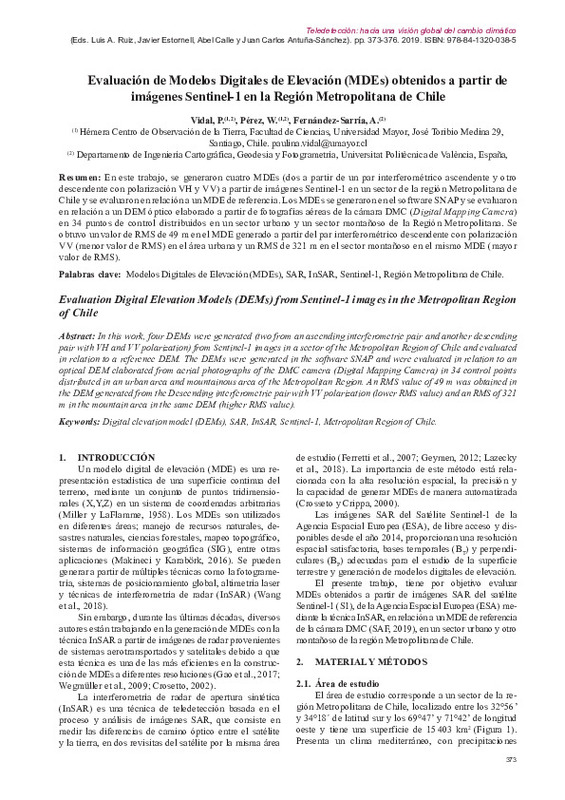
Vidal Páez, Paulina Javiera; Perez Martinez, Waldo; Fernández-Sarría, Alfonso (Ediciones Universidad de Valladolid, 2019-09-27)[ES] En este trabajo, se generaron cuatro MDEs (dos a partir de un par interferométrico ascendente y otro descendente con polarización VH y VV) a partir de imágenes Sentinel-1 en un sector de la región Metropolitana de ...
-
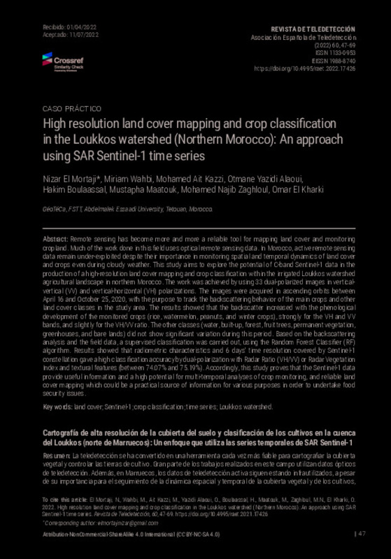
Nizar, El Mortaji; Wahbi, Miriam; Ait Kazzi, Mohamed; Yazidi Alaoui, Otmane; Boulaassal, Hakim; Maatouk, Mustapha; Zaghloul, Mohamed Najib; El Kharki, Omar (Universitat Politècnica de València, 2022-07-26)[EN] Remote sensing has become more and more a reliable tool for mapping land cover and monitoring cropland. Much of the work done in this field uses optical remote sensing data. In Morocco, active remote ...
-
Solá Ferrer, Javier (Universitat Politècnica de València, 2021-01-04)[ES] En este trabajo se abordarán algunas tareas básicas de procesado de datos radar del satélite Sentinel-1. Se trabajará con software libre (SNAP), con datos de servidores de descarga gratuita y desde la perspectiva ...
-
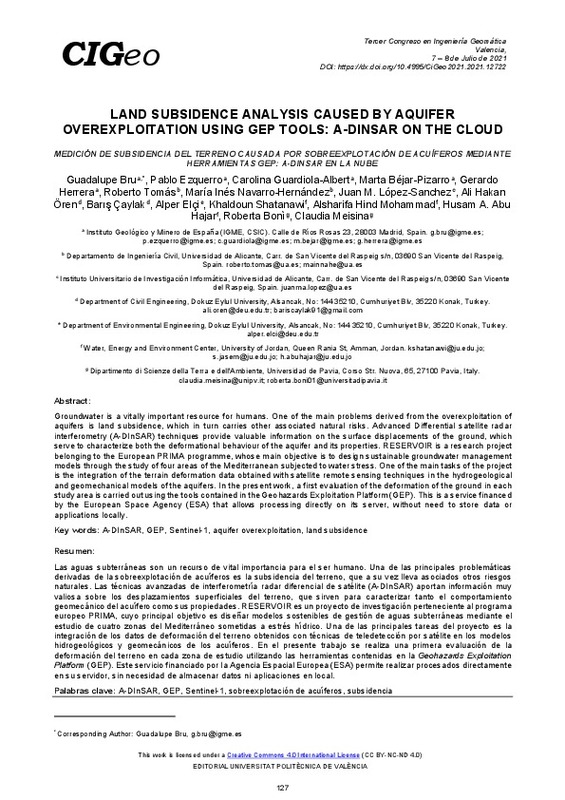
Land subsidence analysis caused by aquifer overexploitation using GEP tools: A-DInSAR on the cloud Bru, Guadalupe; Ezquerro, Pablo; Guardiola-Albert, Carolina; Béjar-Pizarro, Marta; Herrera, Gerardo; Tomás, Roberto; Navarro-Hernández, María; López-Sanchez, Juan; Ören, Ali; Çaylak, Barış; Elçi, Alper; Shatanawi, Khaldoun; Mohammad, Alsharifa; Abu Hajar, Husam; Bonì, Roberta; Meisina, Claudia (Editorial Universitat Politècnica de València, 2021-10-01)[EN] Groundwater is a vitally important resource for humans. One of the main problems derived from the overexploitation of aquifers is land subsidence, which in turn carries other associated natural risks. Advanced ...
-
Souza, Wendson; Ruiz-Armenteros, Antonio; Cabral, Jaime (Editorial Universitat Politècnica de València, 2023-01-27)[EN] One of the main causes of land subsidence in the world is the exploitation of groundwater above the regeneration capacity of the aquifer systems. However, the rapid urban growth in estuarine areas can also contribute ...
-
Pulella, A.; Sica, F.; Rizzoli, P. (Universitat Politècnica de València, 2020-11-27)[EN] Sentinel-1 interferometric time-series allow for the accurate retrieval of the target’s temporal decorrelation and, therefore, the inversion of land cover information and its temporal monitoring. This paper describes ...
-
Donezar-Hoyos, U.; Albizua-Huarte, L.; Amezketa-Lizarraga, E.; Barinagarrementeria-Arrese, I.; Ciriza, R.; de Blas-Corral, T.; Larrañaga-Urien, A.; Ros-Elso, F.; Tamés-Noriega, A.; Viñuales-Lasheras, M.; Broglia, M.; Steel, A.; Ameztoy, I.; Rufolo, P. (Universitat Politècnica de València, 2020-11-27)[EN] The Copernicus Emergency Management Service (CEMS) is coordinated by the European Commission and “provides all actors involved in the management of natural disasters, man-made emergency situations, and humanitarian ...
Mostrando ítems 1-11 de 11

Universitat Politècnica de València. Unidad de Documentación Científica de la Biblioteca (+34) 96 387 70 85 · RiuNet@bib.upv.es


