
Listar por palabra clave "Terrestrial laser scanning"
RiuNet: Repositorio Institucional de la Universidad Politécnica de Valencia
- RiuNet repositorio UPV
- :
- Listar por palabra clave
JavaScript is disabled for your browser. Some features of this site may not work without it.
Buscar en RiuNet
Listar
Mi cuenta
Ayuda RiuNet
Admin. UPV
Listar por palabra clave "Terrestrial laser scanning"
Mostrando ítems 1-20 de 23
-
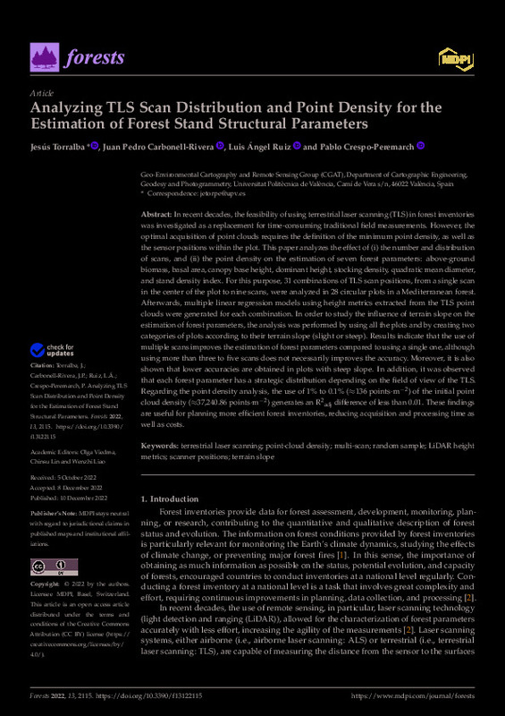
Torralba, Jesús; Carbonell-Rivera, Juan Pedro; Ruiz Fernández, Luis Ángel; Crespo-Peremarch, Pablo (MDPI AG, 2022-12)[EN] In recent decades, the feasibility of using terrestrial laser scanning (TLS) in forest inventories was investigated as a replacement for time-consuming traditional field measurements. However, the optimal acquisition ...
-
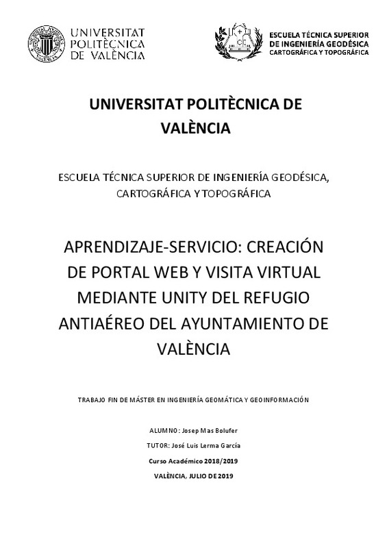
Mas Bolufer, Josep (Universitat Politècnica de València, 2019-09-06)[ES] El presente Trabajo Fin de Máster (TFM) pretende explicar el proceso seguido para la obtención de un portal web que incluye una visita virtual del Refugio Antiaéreo del Ayuntamiento de València. Este trabajo se ha ...
-
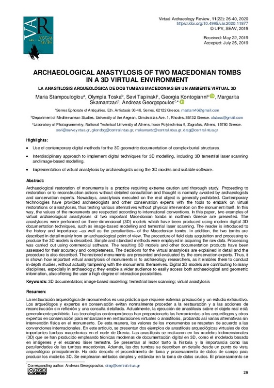
Stampouloglou, Maria; Toska, Olympia; Tapinaki, Sevi; Kontogianni, Georgia; Skamantzari, Margarita; Georgopoulos, Andreas (Universitat Politècnica de València, 2020-01-28)[EN] Archaeological restoration of monuments is a practice requiring extreme caution and thorough study. Archaeologists and conservation experts are very reluctant to proceed to restoration and indeed to reconstruction ...
-
Lerma García, José Luis; Navarro Tarin, Santiago; Cabrelles López, Miriam; Seguí Gil, Ana Elena; Hernández López, David (Elsevier, 2013-02)This paper investigates the use of two detectors and descriptors on image pyramids for automatic image orientation and generation of 3D models. The detectors and descriptors replace manual measurements and are used to ...
-
Conesa-Garcia, Carmelo; Puig-Mengual, Carlos; Riquelme, Adrian; Tomás, Roberto; Martinez-Capel, Francisco; Garcia-Lorenzo, Rafael; Pastor, Jose L.; Perez-Cutillas, Pedro; Martinez-Salvador, Alberto; Cano-Gonzalez, Miguel (Elsevier, 2022-02-01)[EN] Sediment budgets and morphological channel adjustments are closely related to changes in stream power. In ephemeral channels, whose geomorphic response depends on the magnitude and frequency of hydrological events ...
-
Crespo-Peremarch, Pablo; Tompalski, P.; Coops, N.C.; Ruiz Fernández, Luis Ángel (Elsevier, 2018)[EN] The use of laser scanning acquired from the air, or ground, holds great potential for the assessment of forest structural attributes, beyond conventional forest inventory. The use of full-waveform airborne laser ...
-
Conesa-García, Carmelo; Puig-Mengual, Carlos; Riquelme, Adrián; Tomás, Roberto; Martinez-Capel, Francisco; García-Lorenzo, Rafael; Pastor, José L.; Pérez-Cutillas, Pedro; Cano Gonzalez, Miguel (MDPI AG, 2020-11)[EN] Stream power represents the rate of energy expenditure along a stream reach and can be calculated using topographic data acquired via structure-from-motion (SfM) photogrammetry and terrestrial laser scanning (TLS). ...
-
Liu, J.; Willkens, D.; López González, María Concepción; Cortés Meseguer, Luis; G-Valldecabres, Jorge; Escudero, Pablo Ariel; Alathamneh, S. (Copernicus Publ., 2023)[EN] This paper presents a comparative analysis of point clouds acquired from a terrestrial laser scanner (TLS) survey and a 3D virtual tour using Matterport technology for heritage building information modeling (HBIM) ...
-
Crespo-Peremarch, P.; Torralba, Jesús; Carbonell-Rivera, Juan Pedro; Ruiz Fernández, Luis Ángel (ISPRS, 2020-09-02)[EN] Remote sensing and photogrammetry techniques have demonstrated to be an important tool for the characterization of forest ecosystems. Nonetheless, the use of these techniques requires an accurate digital terrain model ...
-
Huesca-Tortosa, José Antonio; Pacheco-Mateo, María del Rosario; Tendero-Porras, Mercedes; Torregrosa-Fuentes, David; Spairani-Berrio, Yolanda (Universitat Politècnica de València, 2024-01-19)[EN] This paper deals with the study of construction and geometry, as well as with the analysis of deformations and active degradations of the natatio belonging to the Western Baths in La Alcudia archaeological site. Its ...
-
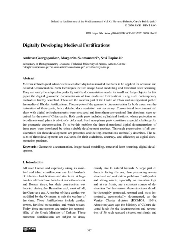
Georgopoulos, Andreas; Skamantzari, Margarita; Tapinaki, Sevi (Editorial Universitat Politècnica de València, 2020-05-15)[EN] Modern technological advances have enabled digital automated methods to be applied for accurate and detailed documentation. Such techniques include image based modelling and terrestrial laser scanning. They can ...
-
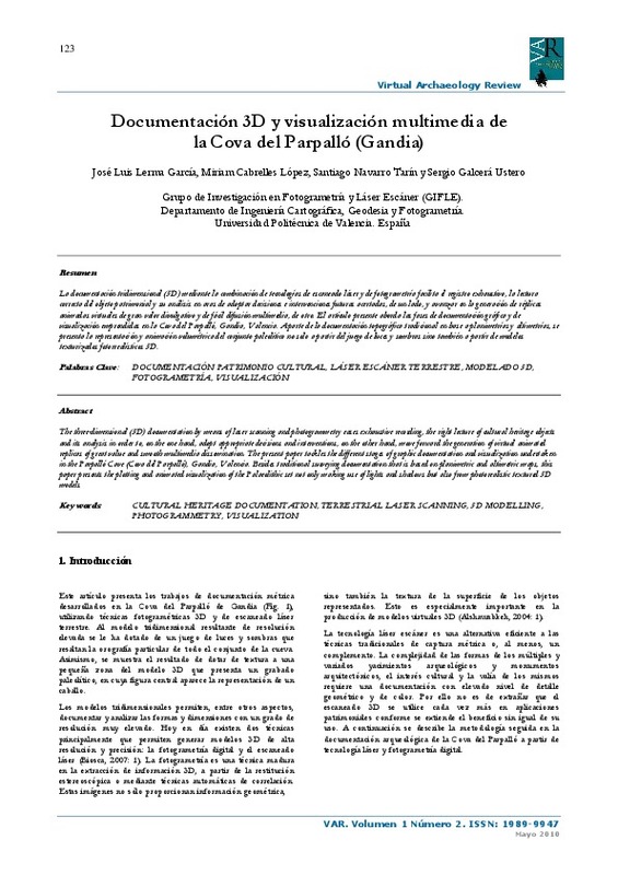
Lerma García, José Luis; Cabrelles López, Miriam; Navarro Tarin, Santiago; Galcerá Ustero, Sergio (Universitat Politècnica de València, 2010-05-25)[ES] La documentación tridimensional (3D) mediante la combinación de tecnologías de escaneado láser y de fotogrametría facilita el registro exhaustivo, la lectura correcta del objeto patrimonial y su análisis en aras de ...
-
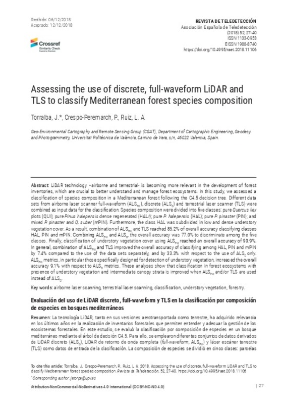
Torralba, J.; Crespo-Peremarch, P.; Ruiz, L. A. (Universitat Politècnica de València, 2018-12-26)[EN] LiDAR technology –airborne and terrestrial- is becoming more relevant in the development of forest inventories, which are crucial to better understand and manage forest ecosystems. In this study, we assessed a ...
-
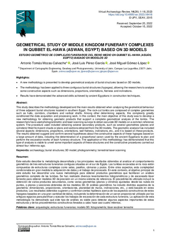
Mozas-Calvache, Antonio Tomás; Pérez-García, José Luis; Gómez-López, José Miguel (Universitat Politècnica de València, 2023-01-18)[EN] This study describes the methodology developed and the main results obtained when analysing the geometrical behavior of three adjacent burial structures located in southern Egypt. The rock-cut tombs are composed of ...
-
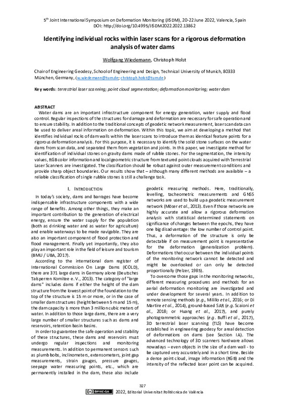
Wiedemann, Wolfgang; Holst, Christoph (Editorial Universitat Politècnica de València, 2023-01-27)[EN] Water dams are an important infrastructure component for energy generation, water supply and flood control. Regular inspections of the structures for damage and deformation are necessary for safe operation and to ...
-
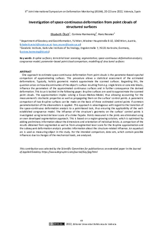
Ötsch, Elisabeth; Harmening, Corinna; Neuner, Hans (Editorial Universitat Politècnica de València, 2023-01-27)[EN] One approach to estimate space-continuous deformation from point clouds is the parameter-based epochal comparison of approximating surfaces. This procedure allows a statistical assessment of the estimated deformations. ...
-
Domingo Sanz, Inés; Villaverde, Valentín; López Montalvo, Esther; Lerma García, José Luis; Cabrelles López, Miriam (Elsevier, 2013-04)This paper presents a further step in the integral documentation of prehistoric rock art, combining 2D and 3D digital recording techniques. Image processing and digital enhancement techniques are an invaluable aid to obtain ...
-
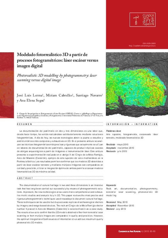
Lerma García, José Luis; Cabrelles López, Miriam; Navarro Tarin, Santiago; Seguí Gil, Ana Elena (Dirección General de Bienes Culturales de la Comunidad Autónoma de la Región de Murcia, 2013)[ES] La documentación del patrimonio en dos y tres dimensiones es una labor que, desde hace tiempo, ha venido realizándose satisfactoriamente mediante soluciones fotogramétricas. A día de hoy, las nuevas tecnologías abren ...
-
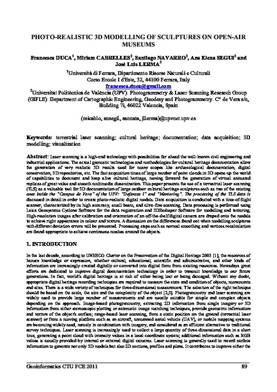
Duca, Francesca; Cabrelles López, Miriam; Navarro Tarin, Santiago; Seguí Gil, Ana Elena; Lerma García, José Luis (České vysoké učení technické v Praze (Czech Technical University in Prague), 2011)[EN] Laser scanning is a high-end technology with possibilities far ahead the well-known civil engineering and industrial applications. The actual geomatic technologies and methodologies for cultural heritage documentation ...
-
Crespo-Peremarch, P.; Ruiz, L. A. (Universitat Politècnica de València, 2020-12-28)[EN] This PhD thesis addresses the development of full-waveform airborne laser scanning (ALSFW) processing and analysis methods to characterize the vertical forest structure, in particular the understory vegetation. In ...
Mostrando ítems 1-20 de 23

Universitat Politècnica de València. Unidad de Documentación Científica de la Biblioteca (+34) 96 387 70 85 · RiuNet@bib.upv.es


