


Evolución de un sistema de cárcavas activas en el sureste español
RiuNet: Repositorio Institucional de la Universidad Politécnica de Valencia
JavaScript is disabled for your browser. Some features of this site may not work without it.
Buscar en RiuNet
Listar
Mi cuenta
Estadísticas
Ayuda RiuNet
Admin. UPV


Evolución de un sistema de cárcavas activas en el sureste español
Mostrar el registro sencillo del ítem
Ficheros en el ítem
| dc.contributor.author | Luna Armenteros, Elena de
|
es_ES |
| dc.contributor.author | Laguna Luna, Ana Mª
|
es_ES |
| dc.contributor.author | Jean, Poesen
|
es_ES |
| dc.contributor.author | Giráldez Cervera, Juan Vicente
|
es_ES |
| dc.coverage.spatial | east=-3.1403256; north=37.3011351; name=Cuesta de los Morales, 12, 18500 Guadix, Granada, Espanya | es_ES |
| dc.date.accessioned | 2020-04-01T11:32:55Z | |
| dc.date.available | 2020-04-01T11:32:55Z | |
| dc.date.issued | 2004-03-31 | |
| dc.identifier.issn | 1134-2196 | |
| dc.identifier.uri | http://hdl.handle.net/10251/139973 | |
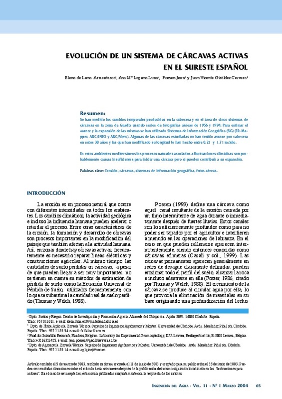
| dc.description.abstract | [ES] Se han medido los cambios temporales producidos en la cabecera y en el área de cinco sistemas de cárcavas en la zona de Guadix usando series de fotografías aéreas de 1956 y 1994. Para estimar el avance y la expansión de las mismas se han utilizado Sistemas de Información Geográfica (SIG) (ER-Mapper, ARC/INFO y ARC/View). Algunas de las cárcavas estudiadas no han tenido avance por cabecera en estos 38 años y las que han modificado su longitud lo han hecho entre 0.21 y 1.71 m/año. En estos ambientes mediterráneos los procesos naturales asociados a fluctuaciones climáticas son probablemente causas insuficientes para iniciar una cárcava pero sí pueden contribuir a su expansión. | es_ES |
| dc.description.sponsorship | Al Instituto Nacional de Investigaciones Agrarias que con la concesión de una beca postdoctoral hizo posible la realización del trabajo de campo. | es_ES |
| dc.language | Español | es_ES |
| dc.publisher | Universitat Politècnica de València | es_ES |
| dc.relation.ispartof | Ingeniería del agua | es_ES |
| dc.rights | Reserva de todos los derechos | es_ES |
| dc.subject | Erosión | es_ES |
| dc.subject | Cárcavas | es_ES |
| dc.subject | Sistemas de información geográfica | es_ES |
| dc.subject | Fotos aéreas | es_ES |
| dc.title | Evolución de un sistema de cárcavas activas en el sureste español | es_ES |
| dc.type | Artículo | es_ES |
| dc.identifier.doi | 10.4995/ia.2004.2523 | |
| dc.rights.accessRights | Abierto | es_ES |
| dc.description.bibliographicCitation | Luna Armenteros, ED.; Laguna Luna, AM.; Jean, P.; Giráldez Cervera, JV. (2004). Evolución de un sistema de cárcavas activas en el sureste español. Ingeniería del agua. 11(1):65-73. https://doi.org/10.4995/ia.2004.2523 | es_ES |
| dc.description.accrualMethod | OJS | es_ES |
| dc.relation.publisherversion | https://doi.org/10.4995/ia.2004.2523 | es_ES |
| dc.description.upvformatpinicio | 65 | es_ES |
| dc.description.upvformatpfin | 73 | es_ES |
| dc.type.version | info:eu-repo/semantics/publishedVersion | es_ES |
| dc.description.volume | 11 | es_ES |
| dc.description.issue | 1 | es_ES |
| dc.identifier.eissn | 1886-4996 | |
| dc.relation.pasarela | OJS\2523 | es_ES |
| dc.contributor.funder | Instituto Nacional de Investigaciones Agrarias | es_ES |
| dc.description.references | Casalí, J., (1997). Caracterización y control de la erosión por cárcavas. Tesis doctoral. Departamento de proyectos e ingeniería rural. E.T.S.I.A. Universidad Pública de Navarra. | es_ES |
| dc.description.references | ER- Mapper.5.5. Earth Resources Mapping.Ltd (1995). Blenheim House.Crabtree -Office-Village. Eversley -Way, Egham. Surrey. | es_ES |
| dc.description.references | Casalí, J., López, J.J.y Giráldez, J.V. (1999). Erosión por cárcavas efímeras en el sur de Navarra. Ingeniería del agua. 6: 251-258. | es_ES |
| dc.description.references | Faulkner, H., (1995). Gully erosion associated with the expansion of unterraced almond cultivation in the coastal Sierra de Lujar, S, Spain. Land degradation. 6:179- 200 | es_ES |
| dc.description.references | ICONA, (1988). Proyecto Lucdeme, Mapa de suelos, Guadix. Universidad de Granada. Ministerio de Agricultura, Pesca y Alimentación. Madrid. | es_ES |
| dc.description.references | Kirkby, M.J. y L.J. Bull, (2000). Some factors controlling gully growth in fine-grained sediments: a model applied in southeast Spain. Catena, 40: 127-146. | es_ES |
| dc.description.references | Martín- Penela, A. J., (1994). Pipe and gully sistems development in the Almanzora Basin (Southeast Spain). Z. Geomorph N.F. 38. :207-222 | es_ES |
| dc.description.references | Oostwoud, D.J., J. Poesen, L. Vandekerckhove, Nachtergaele, J. y Baerdemaeker, J, (1999). Gully-head morphology and implications for gully development on abandoned fields in a semi-arid environment, Sierra de Gata. Southeast Spain. Earth surface processes and land forms. 24: 585-603 | es_ES |
| dc.description.references | Oostwoud, D.J., J. Poesen, L. Vandekerckhove y M. Ghesquire, (2000). Spatial distribution of gully head activity and sediment supply along an ephemeral chanel in a Mediterranean environment. Catena, 39: 147-146. | es_ES |
| dc.description.references | Piest, R. F., Bradford, J. M. y Wyatt. G., (1975). Soil erosion and sediment transport from gullies. J. Hydr. Div., 101: 65-80 | es_ES |
| dc.description.references | Poesen, J. (1993). Gully typology and gully control measure in the european loess belt, en S. Wicherek, ed., Farm Land Erosion. In temperature plains environment and hills. 222 - 239. | es_ES |
| dc.description.references | Poesen, J., Vandaele, K. y Wesemael, B. (1996). Contribution of gully erosion to sediment production on cultivated lands and rangelands. En Erosion and Sediment Yield: Global and Regional Perspective. D. E. Walling y B. W. Webb (eds.). IAHS Publ nº 236. pp 251- 266. Wallingford. | es_ES |
| dc.description.references | Radoane, M., Ichim, Y., Radoane, N. (1995). Gully distribution and development in Moldavia, Romania. Catena 24: 127- 146. | es_ES |
| dc.description.references | Thomas, A. W., and Welch R., (1988). Measurement of ephemeral gully soil erosion. Trans. A.S.A.E. 31: 1723-1728. | es_ES |
| dc.description.references | Wise, S. M., J. B. Thornes y A. Gilman. (1982). How old are the badlans? A case study from south-east Spain, en R. Bryan y A. Yair ed., Badland. Geomorphology and piping. Geobooks, Norwich, Cap. 14 | es_ES |
Este ítem aparece en la(s) siguiente(s) colección(ones)

Universitat Politècnica de València. Unidad de Documentación Científica de la Biblioteca (+34) 96 387 70 85 · RiuNet@bib.upv.es
El contenido de este sitio está bajo una licencia Creative Commons Reconocimiento – No Comercial – Sin Obra Derivada (by-nc-nd), salvo que se indique lo contrario.
Los metadatos de este sitio están bajo una licencia Dominio Público.
