JavaScript is disabled for your browser. Some features of this site may not work without it.
Buscar en RiuNet
Listar
Mi cuenta
Estadísticas
Ayuda RiuNet
Admin. UPV
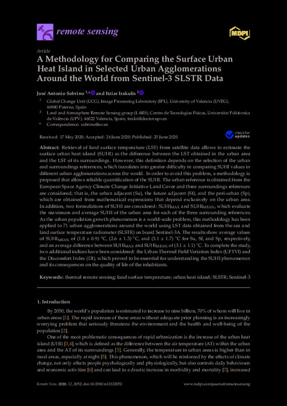
A Methodology for Comparing the Surface Urban Heat Island in Selected Urban Agglomerations Around the World from Sentinel-3 SLSTR Data
Mostrar el registro sencillo del ítem
Ficheros en el ítem
| dc.contributor.author | Sobrino, José Antonio
|
es_ES |
| dc.contributor.author | Irakulis-Loitxate, Itziar
|
es_ES |
| dc.date.accessioned | 2023-04-26T18:01:16Z | |
| dc.date.available | 2023-04-26T18:01:16Z | |
| dc.date.issued | 2020-06 | es_ES |
| dc.identifier.issn | 2072-4292 | es_ES |
| dc.identifier.uri | http://hdl.handle.net/10251/192979 | |
| dc.description.abstract | [EN] Retrieval of land surface temperature (LST) from satellite data allows to estimate the surface urban heat island (SUHI) as the difference between the LST obtained in the urban area and the LST of its surroundings. However, this definition depends on the selection of the urban and surroundings references, which translates into greater difficulty in comparing SUHI values in different urban agglomerations across the world. In order to avoid this problem, a methodology is proposed that allows reliable quantification of the SUHI. The urban reference is obtained from the European Space Agency Climate Change Initiative Land Cover and three surroundings references are considered; that is, the urban adjacent (Su), the future adjacent (Sf), and the peri-urban (Sp), which are obtained from mathematical expressions that depend exclusively on the urban area. In addition, two formulations of SUHI are considered: SUHIMAX and SUHIMEAN, which evaluate the maximum and average SUHI of the urban area for each of the three surrounding references. As the urban population growth phenomenon is a world-scale problem, this methodology has been applied to 71 urban agglomerations around the world using LST data obtained from the sea and land surface temperature radiometer (SLSTR) on board Sentinel-3A. The results show average values of SUHIMEAN of (1.8 ± 0.9) °C, (2.6 ± 1.3) °C, and (3.1 ± 1.7) °C for Su, Sf, and Sp, respectively, and an average difference between SUHIMAX and SUHIMEAN of (3.1 ± 1.1) °C. To complete the study, two additional indices have been considered: the Urban Thermal Field Variation Index (UFTVI) and the Discomfort Index (DI), which proved to be essential for understanding the SUHI phenomenon and its consequences on the quality of life of the inhabitants. | es_ES |
| dc.description.sponsorship | This research was funded by Ministerio de Ciencia, Innovacion y Universidades project ESP2017-85770-R. | es_ES |
| dc.language | Inglés | es_ES |
| dc.publisher | MDPI AG | es_ES |
| dc.relation.ispartof | Remote Sensing | es_ES |
| dc.rights | Reconocimiento (by) | es_ES |
| dc.subject | Thermal remote sensing | es_ES |
| dc.subject | Land surface temperature | es_ES |
| dc.subject | Urban heat island | es_ES |
| dc.subject | SLSTR | es_ES |
| dc.subject | Sentinel-3 | es_ES |
| dc.title | A Methodology for Comparing the Surface Urban Heat Island in Selected Urban Agglomerations Around the World from Sentinel-3 SLSTR Data | es_ES |
| dc.type | Artículo | es_ES |
| dc.identifier.doi | 10.3390/rs12122052 | es_ES |
| dc.relation.projectID | info:eu-repo/grantAgreement/AEI/Plan Estatal de Investigación Científica y Técnica y de Innovación 2013-2016/ESP2017-85770-R/ES/CIENCIA Y TECNOLOGIA PARA UN INSTRUMENTO TERMICO DE ALTA RESOLUCION EN EL CONTEXTO DE MISIONES EUROPEAS Y DE LA ESA: SENTINEL-8, TMAX, TRISHNA/ | es_ES |
| dc.rights.accessRights | Abierto | es_ES |
| dc.description.bibliographicCitation | Sobrino, JA.; Irakulis-Loitxate, I. (2020). A Methodology for Comparing the Surface Urban Heat Island in Selected Urban Agglomerations Around the World from Sentinel-3 SLSTR Data. Remote Sensing. 12(12):1-29. https://doi.org/10.3390/rs12122052 | es_ES |
| dc.description.accrualMethod | S | es_ES |
| dc.relation.publisherversion | https://doi.org/10.3390/rs12122052 | es_ES |
| dc.description.upvformatpinicio | 1 | es_ES |
| dc.description.upvformatpfin | 29 | es_ES |
| dc.type.version | info:eu-repo/semantics/publishedVersion | es_ES |
| dc.description.volume | 12 | es_ES |
| dc.description.issue | 12 | es_ES |
| dc.relation.pasarela | S\429490 | es_ES |
| dc.contributor.funder | Agencia Estatal de Investigación | es_ES |
| dc.subject.ods | 11.- Conseguir que las ciudades y los asentamientos humanos sean inclusivos, seguros, resilientes y sostenibles | es_ES |


