JavaScript is disabled for your browser. Some features of this site may not work without it.
Buscar en RiuNet
Listar
Mi cuenta
Estadísticas
Ayuda RiuNet
Admin. UPV
Estimation of the Block Adjustment Error in UAV Photogrammetric Flights in Flat Areas
Mostrar el registro sencillo del ítem
Ficheros en el ítem
| dc.contributor.author | Arevalo-Verjel, Alba Nely
|
es_ES |
| dc.contributor.author | Lerma, José Luis
|
es_ES |
| dc.contributor.author | Prieto, Juan F.
|
es_ES |
| dc.contributor.author | Carbonell-Rivera, Juan Pedro
|
es_ES |
| dc.contributor.author | Fernández, José
|
es_ES |
| dc.date.accessioned | 2023-05-12T18:02:04Z | |
| dc.date.available | 2023-05-12T18:02:04Z | |
| dc.date.issued | 2022-06 | es_ES |
| dc.identifier.issn | 2072-4292 | es_ES |
| dc.identifier.uri | http://hdl.handle.net/10251/193325 | |
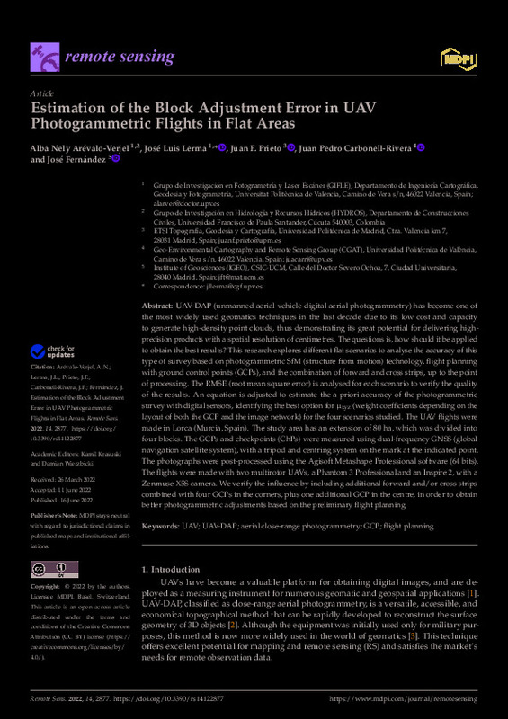
| dc.description.abstract | [EN] UAV-DAP (unmanned aerial vehicle-digital aerial photogrammetry) has become one of the most widely used geomatics techniques in the last decade due to its low cost and capacity to generate high-density point clouds, thus demonstrating its great potential for delivering high-precision products with a spatial resolution of centimetres. The questions is, how should it be applied to obtain the best results? This research explores different flat scenarios to analyse the accuracy of this type of survey based on photogrammetric SfM (structure from motion) technology, flight planning with ground control points (GCPs), and the combination of forward and cross strips, up to the point of processing. The RMSE (root mean square error) is analysed for each scenario to verify the quality of the results. An equation is adjusted to estimate the a priori accuracy of the photogrammetric survey with digital sensors, identifying the best option for mu(xyz) (weight coefficients depending on the layout of both the GCP and the image network) for the four scenarios studied. The UAV flights were made in Lorca (Murcia, Spain). The study area has an extension of 80 ha, which was divided into four blocks. The GCPs and checkpoints (ChPs) were measured using dual-frequency GNSS (global navigation satellite system), with a tripod and centring system on the mark at the indicated point. The photographs were post-processed using the Agisoft Metashape Professional software (64 bits). The flights were made with two multirotor UAVs, a Phantom 3 Professional and an Inspire 2, with a Zenmuse X5S camera. We verify the influence by including additional forward and/or cross strips combined with four GCPs in the corners, plus one additional GCP in the centre, in order to obtain better photogrammetric adjustments based on the preliminary flight planning. | es_ES |
| dc.description.sponsorship | The work has been partly supported by Spanish Agencia Estatal de Investigacion (10.13039/501100011033) grant RTI2018-093874-B-I00 (DEEP-MAPS). This work represents a contribution to CSIC Thematic Interdisciplinary Platform PTI TELEDETECT. | es_ES |
| dc.language | Inglés | es_ES |
| dc.publisher | MDPI AG | es_ES |
| dc.relation.ispartof | Remote Sensing | es_ES |
| dc.rights | Reconocimiento (by) | es_ES |
| dc.subject | UAV | es_ES |
| dc.subject | UAV-DAP | es_ES |
| dc.subject | Aerial close-range photogrammetry | es_ES |
| dc.subject | GCP | es_ES |
| dc.subject | Flight planning | es_ES |
| dc.subject.classification | INGENIERIA CARTOGRAFICA, GEODESIA Y FOTOGRAMETRIA | es_ES |
| dc.title | Estimation of the Block Adjustment Error in UAV Photogrammetric Flights in Flat Areas | es_ES |
| dc.type | Artículo | es_ES |
| dc.identifier.doi | 10.3390/rs14122877 | es_ES |
| dc.relation.projectID | info:eu-repo/grantAgreement/AEI/Plan Estatal de Investigación Científica y Técnica y de Innovación 2017-2020/RTI2018-093874-B-I00/ES/ESTUDIO DEL SISTEMA DE ALIMENTACION MAGMATICO PROFUNDO USANDO NUEVOS METODOS GEODESICOS Y GEOFISICOS/ | es_ES |
| dc.rights.accessRights | Abierto | es_ES |
| dc.contributor.affiliation | Universitat Politècnica de València. Departamento de Ingeniería Cartográfica Geodesia y Fotogrametría - Departament d'Enginyeria Cartogràfica, Geodèsia i Fotogrametria | es_ES |
| dc.contributor.affiliation | Universitat Politècnica de València. Escuela Técnica Superior de Ingeniería Geodésica, Cartográfica y Topográfica - Escola Tècnica Superior d'Enginyeria Geodèsica, Cartogràfica i Topogràfica | es_ES |
| dc.description.bibliographicCitation | Arevalo-Verjel, AN.; Lerma, JL.; Prieto, JF.; Carbonell-Rivera, JP.; Fernández, J. (2022). Estimation of the Block Adjustment Error in UAV Photogrammetric Flights in Flat Areas. Remote Sensing. 14(12):1-17. https://doi.org/10.3390/rs14122877 | es_ES |
| dc.description.accrualMethod | S | es_ES |
| dc.relation.publisherversion | https://doi.org/10.3390/rs14122877 | es_ES |
| dc.description.upvformatpinicio | 1 | es_ES |
| dc.description.upvformatpfin | 17 | es_ES |
| dc.type.version | info:eu-repo/semantics/publishedVersion | es_ES |
| dc.description.volume | 14 | es_ES |
| dc.description.issue | 12 | es_ES |
| dc.relation.pasarela | S\467561 | es_ES |
| dc.contributor.funder | Agencia Estatal de Investigación | es_ES |
| dc.subject.ods | 09.- Desarrollar infraestructuras resilientes, promover la industrialización inclusiva y sostenible, y fomentar la innovación | es_ES |


