JavaScript is disabled for your browser. Some features of this site may not work without it.
Buscar en RiuNet
Listar
Mi cuenta
Estadísticas
Ayuda RiuNet
Admin. UPV
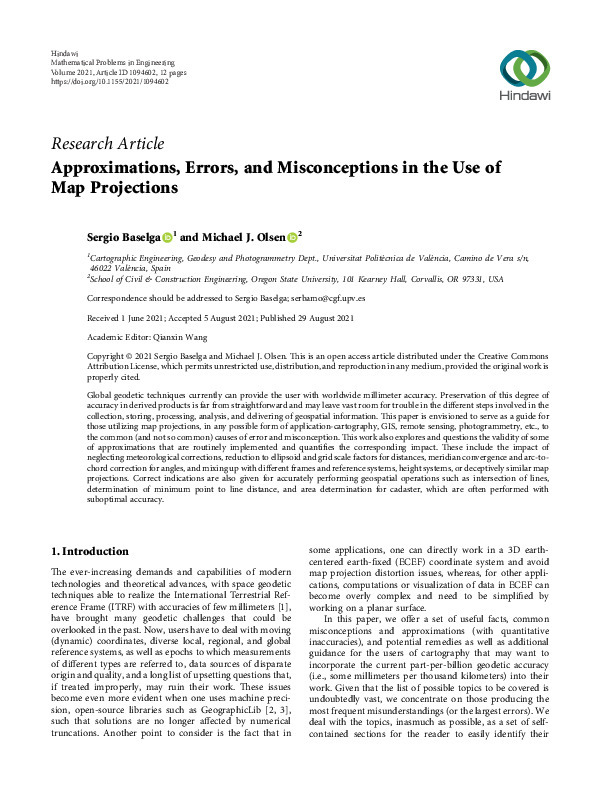
Approximations, Errors, and Misconceptions in the Use of Map Projections
Mostrar el registro sencillo del ítem
Ficheros en el ítem
| dc.contributor.author | Baselga Moreno, Sergio
|
es_ES |
| dc.contributor.author | Olsen, Michael J.
|
es_ES |
| dc.date.accessioned | 2023-11-03T19:01:27Z | |
| dc.date.available | 2023-11-03T19:01:27Z | |
| dc.date.issued | 2021-08-29 | es_ES |
| dc.identifier.issn | 1024-123X | es_ES |
| dc.identifier.uri | http://hdl.handle.net/10251/199199 | |
| dc.description.abstract | [EN] Global geodetic techniques currently can provide the user with worldwide millimeter accuracy. Preservation of this degree of accuracy in derived products is far from straightforward and may leave vast room for trouble in the different steps involved in the collection, storing, processing, analysis, and delivering of geospatial information. *is paper is envisioned to serve as a guide for those utilizing map projections, in any possible form of application-cartography, GIS, remote sensing, photogrammetry, etc., to the common (and not so common) causes of error and misconception. *is work also explores and questions the validity of some of approximations that are routinely implemented and quantifies the corresponding impact. *ese include the impact of neglecting meteorological corrections, reduction to ellipsoid and grid scale factors for distances, meridian convergence and arc-tochord correction for angles, and mixing up with different frames and reference systems, height systems, or deceptively similar map projections. Correct indications are also given for accurately performing geospatial operations such as intersection of lines, determination of minimum point to line distance, and area determination for cadaster, which are often performed with suboptimal accuracy. | es_ES |
| dc.language | Inglés | es_ES |
| dc.publisher | Hindawi Limited | es_ES |
| dc.relation.ispartof | Mathematical Problems in Engineering | es_ES |
| dc.rights | Reconocimiento (by) | es_ES |
| dc.subject.classification | INGENIERIA CARTOGRAFICA, GEODESIA Y FOTOGRAMETRIA | es_ES |
| dc.title | Approximations, Errors, and Misconceptions in the Use of Map Projections | es_ES |
| dc.type | Artículo | es_ES |
| dc.identifier.doi | 10.1155/2021/1094602 | es_ES |
| dc.rights.accessRights | Abierto | es_ES |
| dc.contributor.affiliation | Universitat Politècnica de València. Escuela Técnica Superior de Ingeniería Geodésica, Cartográfica y Topográfica - Escola Tècnica Superior d'Enginyeria Geodèsica, Cartogràfica i Topogràfica | es_ES |
| dc.description.bibliographicCitation | Baselga Moreno, S.; Olsen, MJ. (2021). Approximations, Errors, and Misconceptions in the Use of Map Projections. Mathematical Problems in Engineering. 2021:1-12. https://doi.org/10.1155/2021/1094602 | es_ES |
| dc.description.accrualMethod | S | es_ES |
| dc.relation.publisherversion | https://doi.org/10.1155/2021/1094602 | es_ES |
| dc.description.upvformatpinicio | 1 | es_ES |
| dc.description.upvformatpfin | 12 | es_ES |
| dc.type.version | info:eu-repo/semantics/publishedVersion | es_ES |
| dc.description.volume | 2021 | es_ES |
| dc.relation.pasarela | S\448249 | es_ES |


