
Listar por palabra clave "Cultural Heritage"
RiuNet: Repositorio Institucional de la Universidad Politécnica de Valencia
- RiuNet repositorio UPV
- :
- Listar por palabra clave
JavaScript is disabled for your browser. Some features of this site may not work without it.
Buscar en RiuNet
Listar
Mi cuenta
Ayuda RiuNet
Admin. UPV
Listar por palabra clave "Cultural Heritage"
Mostrando ítems 1-20 de 80
-
Navarro, Vicente; Ventura-Traveset, Javier (Editorial Universitat Politècnica de València, 2021-10-01)[EN] With the current GNSS infrastructure development plans, over 120 GNSS satellites (including European Galileo satellites)will provide, already this decade, continuous data, in several frequencies, without interruption ...
-
Carbonell-Rivera, Juan Pedro; Estornell, Javier; Ruiz, Luis; Abad, Alfonso; Felten, Bettina; Torralba, Jesús (Editorial Universitat Politècnica de València, 2021-10-01)[EN] In recent years, Remote Sensing (RS) and its derived products have been used as a key tool for the detection, monitoring, management and future use of Marginal Lands (ML). Currently, there is no single, universally ...
-
Río Oliver, Cristina del (Universitat Politècnica de València, 2019-10-24)[ES] Los microorganismos juegan un papel muy importante en el deterioro del patrimonio cultural debido a los daños estéticos, físico mecánico y químicos (asimilatorios y desamilatorios) que pueden causar. El objetivo del ...
-
Iborra-Fabra, Ramon; Femenia-Ribera, Carmen; Mora-Navarro, Gaspar (Editorial Universitat Politècnica de València, 2021-10-01)[EN] Disagreements between public administrations and neighbors in areas near the territorial boundaries between municipalities have increased as the urban development of municipalities increases. Not surprisingly, in ...
-
Liu, Junshan; Willkens, Danielle S.; Foreman, Graham (Universitat Politècnica de València, 2022-06-30)[EN] Heritage Building Information Modelling (or HBIM) is a multi-disciplinary process and a promising tool for the management and documentation of heritage structures. HBIM can record the significant historic events that ...
-
Arevalo Verjel, Alba Nely; Lerma García, José Luis; Fernández, José (Editorial Universitat Politècnica de València, 2021-10-01)[EN] RPAS (Remotely Piloted Aircraft Systems) are widely used in photogrammetry for taking images due to their high spatial resolution and speed of response, being able to reach areas of difficult access, being important ...
-
Carrión-Ruiz, Berta; Lerma García, José Luis (Editorial Universitat Politècnica de València, 2017-10-23)[EN] This paper tackles principal component analysis (PCA) in images that include wavelengths between 380-1000 nm. Our approach is focussed on taking advantage of the potencial of ultraviolet and infrarred images, in ...
-
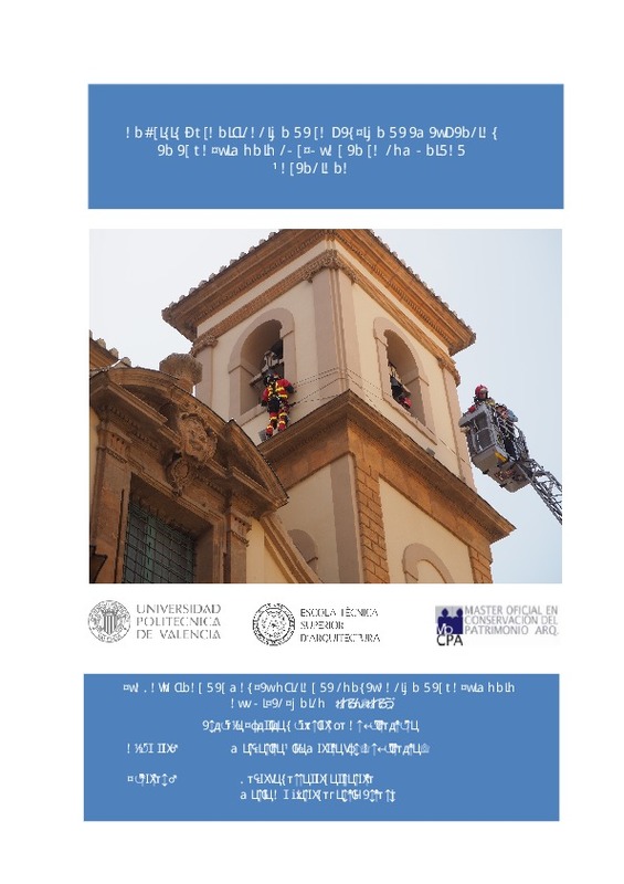
Vila Montañés, Margarita María (Universitat Politècnica de València, 2018-12-26)El presente trabajo tiene como objeto de estudio la gestión de las emergencias en el patrimonio cultural; pretende analizar los antecedentes, el marco normativo nacional e internacional y el protagonismo que ha adquirido ...
-
Marqués Sanchis, Carolina; Bosch-Roig, Pilar; Carrascosa Moliner, María Begoña; Miller, Ana Z. (Elsevier, 2023-06-05)[EN] The study of the potential use of essential oils in the field of Cultural Heritage has increased in the last decade due to their demonstrated antimicrobial potential and absence of toxicity. This work aimed at assessing, ...
-
Pascual Yarritu, José Pablo; Mora Navarro, Joaquín Gaspar; Femenía Ribera, Carmen (Editorial Universitat Politècnica de València, 2021-10-01)[EN] Fishing production is one of the most important economic activities in the world. It is also important at the national level as Spain ranks as one of the 25 main producing countries of marine capture fisheries (FAO ...
-
Paredes, Carlos; De la Vega-Panizo, Rogelio; Ropero, Miguel (Editorial Universitat Politècnica de València, 2021-10-01)[EN] Despite today's extensive remote sensing imagery with all kinds of sensors, the use of old aerial imagery is still importantin the study of slowly evolving land processes to reconstruct past landscape forms. Numerous ...
-
Benavides, Llinet; Manso, Miguel (Editorial Universitat Politècnica de València, 2021-10-01)[EN] Solar forecasting is of great interest due to the growing use of renewable energies as an alternative to the global problems posed by current energy sources. In the last decade important advances have been achieved, ...
-
Raimundo, Javier; Prieto, Juan; Lopez-Cuervo Medina, Serafin (Editorial Universitat Politècnica de València, 2021-10-01)[EN] Thermal sensors mounted on Unmanned Aerial Vehicles (UAV) provide images with much lower resolution than other sensors typically mounted simultaneously (visual spectrum sensors). This situation causes an inhomogeneity ...
-
Briceño de Urbaneja, Idania; Sánchez-García, Elena; Pardo Pascual, Josep Eliseu; Palomar Vázquez, Jesús Manuel; Ugalde-Peralta, Raúl; Aguirre-Galaz, Catalina; Perez Martinez, Waldo; Vidal Páez, Paulina Javiera (Editorial Universitat Politècnica de València, 2021-10-01)[EN] Due to their oceanographic and climatic ecological characteristics, the coastal areas of the Valparaíso Region of Chile are of great importance for the country's tourist, economic, and environmental development. The ...
-
Musso, Stefano; Franco, Giovanna (Editorial Universitat Politècnica de València, 2023-05-22)[EN] It is difficult to say what Restoration is today and what place it occupies among the disciplines of architecture, in the fields of education, research and profession. Equally complex is to delimit the concept of ...
-
Fabregat Gesa, Ramón; Gascons, Núria; Jové, Teodor; González-Vargas, Juan Camilo; Coris, Laura (Editorial Universitat Politècnica de València, 2022-10-25)[EN] Motiv-ARCHE is a platform that increases the motivation of young people for heritage thanks to co-creation and the use of Augmented Reality. With this application, users can add new content to heritage elements in ...
-
Caiza, Lorena; Zegarra, Gabriela; Navarro, Estefania; Alvarez, Flor (Editorial Universitat Politècnica de València, 2021-10-01)[EN] The spatio-temporal variability of vegetation in urban areas is one of the current concerns about climate variability events such as extreme temperature changes and flooding, coupled with the forecast that 70% of the ...
-
Colonnese, Fabio; Carpiceci, Marco; Inglese, Carlo (Universitat Politècnica de València, 2016-05-31)[EN] Architectural heritage preservation is based on an in-depth, multi-layered and interdisciplinary knowledge of the cultural heritage sites, especially when they are a combination between natural and artificial, such ...
-
Vlahos, Ekaterini (Editorial Universitat Politècnica de València, 2022-09-13)[EN] University Centers combined with specialized degree programs may provide a framework for faculty and students to engage in traditional and applied research and hands-on learning across disciplines. This paper will ...
-
Sosa-Avaro, Leandro; Justel, Ana; Molina, Iñigo (Editorial Universitat Politècnica de València, 2021-10-01)[EN] The frequency and intensity of extreme worldwide weather events have increased in recent decades, causing enormous economic losses. In Argentina, in the 2017-2018 agricultural season, more than 200 million dollars ...
Mostrando ítems 1-20 de 80

Universitat Politècnica de València. Unidad de Documentación Científica de la Biblioteca (+34) 96 387 70 85 · RiuNet@bib.upv.es


