JavaScript is disabled for your browser. Some features of this site may not work without it.
Buscar en RiuNet
Listar
Mi cuenta
Estadísticas
Ayuda RiuNet
Admin. UPV
Proximal sensing mapping method to generate field maps in vineyards
Mostrar el registro sencillo del ítem
Ficheros en el ítem
| dc.contributor.author | Sáiz Rubio, Verónica
|
es_ES |
| dc.contributor.author | Rovira Más, Francisco
|
es_ES |
| dc.date.accessioned | 2018-05-28T04:20:00Z | |
| dc.date.available | 2018-05-28T04:20:00Z | |
| dc.date.issued | 2013 | es_ES |
| dc.identifier.issn | 1682-1130 | es_ES |
| dc.identifier.uri | http://hdl.handle.net/10251/102750 | |
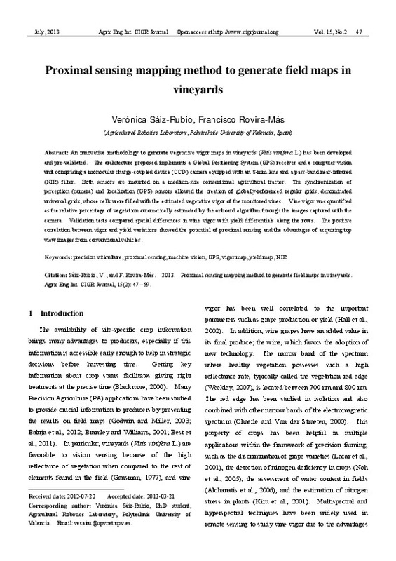
| dc.description.abstract | [EN] An innovative methodology to generate vegetative vigor maps in vineyards (Vitis vinifera L.) has been developed and pre-validated. The architecture proposed implements a Global Positioning System (GPS) receiver and a computer vision unit comprising a monocular charge-coupled device (CCD) camera equipped with an 8-mm lens and a pass-band near-infrared (NIR) filter. Both sensors are mounted on a medium-size conventional agricultural tractor. The synchronization of perception (camera) and localization (GPS) sensors allowed the creation of globally-referenced regular grids, denominated universal grids, whose cells were filled with the estimated vegetative vigor of the monitored vines. Vine vigor was quantified as the relative percentage of vegetation automatically estimated by the onboard algorithm through the images captured with the camera. Validation tests compared spatial differences in vine vigor with yield differentials along the rows. The positive correlation between vigor and yield variations showed the potential of proximal sensing and the advantages of acquiring top view images from conventional vehicles. | es_ES |
| dc.language | Inglés | es_ES |
| dc.publisher | International Commission of Agricultural and Biosystems Engineering | es_ES |
| dc.relation.ispartof | Agricultural Engineering International: CIGR Journal | es_ES |
| dc.rights | Reserva de todos los derechos | es_ES |
| dc.subject | Precision viticulture | es_ES |
| dc.subject | Proximal sensing | es_ES |
| dc.subject | Machine vision | es_ES |
| dc.subject | GPS | es_ES |
| dc.subject | Vigor map | es_ES |
| dc.subject | Vield map, NIR | es_ES |
| dc.subject.classification | INGENIERIA AGROFORESTAL | es_ES |
| dc.title | Proximal sensing mapping method to generate field maps in vineyards | es_ES |
| dc.type | Artículo | es_ES |
| dc.rights.accessRights | Abierto | es_ES |
| dc.contributor.affiliation | Universitat Politècnica de València. Departamento de Ingeniería Rural y Agroalimentaria - Departament d'Enginyeria Rural i Agroalimentària | es_ES |
| dc.description.bibliographicCitation | Sáiz Rubio, V.; Rovira Más, F. (2013). Proximal sensing mapping method to generate field maps in vineyards. Agricultural Engineering International: CIGR Journal. 15(2):47-59. http://hdl.handle.net/10251/102750 | es_ES |
| dc.description.accrualMethod | S | es_ES |
| dc.relation.publisherversion | http://www.cigrjournal.org/index.php/Ejounral/index | es_ES |
| dc.description.upvformatpinicio | 47 | es_ES |
| dc.description.upvformatpfin | 59 | es_ES |
| dc.type.version | info:eu-repo/semantics/publishedVersion | es_ES |
| dc.description.volume | 15 | es_ES |
| dc.description.issue | 2 | es_ES |
| dc.relation.pasarela | S\246115 | es_ES |


