JavaScript is disabled for your browser. Some features of this site may not work without it.
Buscar en RiuNet
Listar
Mi cuenta
Estadísticas
Ayuda RiuNet
Admin. UPV
Desde el lunes 3 y hasta el jueves 20 de marzo, RiuNet funcionará en modo de solo lectura a causa de su actualización a una nueva versión.
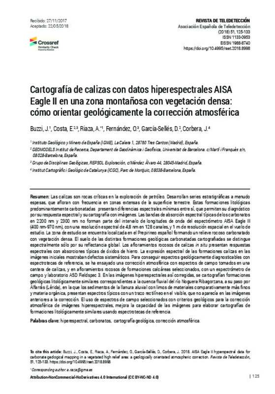
Cartografía de calizas con datos hiperespectrales AISA Eagle II en una zona montañosa con vegetación densa: cómo orientar geológicamente la corrección atmosférica
Mostrar el registro completo del ítem
Buzzi, J.; Costa, E.; Riaza, A.; Fernández, O.; García-Sellés, D.; Corbera, J. (2018). Cartografía de calizas con datos hiperespectrales AISA Eagle II en una zona montañosa con vegetación densa: cómo orientar geológicamente la corrección atmosférica. Revista de Teledetección. (51):125-133. https://doi.org/10.4995/raet.2018.8998
Por favor, use este identificador para citar o enlazar este ítem: http://hdl.handle.net/10251/105606
Ficheros en el ítem
Metadatos del ítem
| Título: | Cartografía de calizas con datos hiperespectrales AISA Eagle II en una zona montañosa con vegetación densa: cómo orientar geológicamente la corrección atmosférica | |
| Otro titulo: |
|
|
| Autor: | Buzzi, J. Costa, E. Riaza, A. Fernández, O. García-Sellés, D. Corbera, J. | |
| Fecha difusión: |
|
|
| Resumen: |
[EN] Carbonated rocks are crucial targets for oil exploration, outcropping often in large areas with minimum spectral differences among geological units. The typical carbonate spectral absorptions in 2200 nm and 2300 nm, ...[+]
[ES] Las calizas son rocas críticas en la exploración de petróleo. Desarrollan series estratigráficas a menudo espesas, que afloran con frecuencia en zonas extensas de la superficie terrestre. Estas formaciones litológicas ...[+]
|
|
| Palabras clave: |
|
|
| Derechos de uso: | Reconocimiento - No comercial - Sin obra derivada (by-nc-nd) | |
| Fuente: |
|
|
| DOI: |
|
|
| Editorial: |
|
|
| Versión del editor: | https://doi.org/10.4995/raet.2018.8998 | |
| Código del Proyecto: |
|
|
| Agradecimientos: |
El sensor AISA Eagle II fue cedido en préstamo por SPECIM al Institut Cartogràfic i Geològic de Catalunya (ICGC) para su prueba en vuelo y pre-tratamiento digital. Los estudios de interpretación geológica se han realizado ...[+]
|
|
| Tipo: |
|


