JavaScript is disabled for your browser. Some features of this site may not work without it.
Buscar en RiuNet
Listar
Mi cuenta
Estadísticas
Ayuda RiuNet
Admin. UPV
Métodos para la estimación de la cabida cubierta a partir de ortofotografías de alta resolución y LiDAR aeroportado en dehesas españolas
Mostrar el registro sencillo del ítem
Ficheros en el ítem
| dc.contributor.author | Borlaf-Mena, I.
|
es_ES |
| dc.contributor.author | Tanase, M. A.
|
es_ES |
| dc.contributor.author | Gómez-Sal, A.
|
es_ES |
| dc.date.accessioned | 2019-06-27T09:38:51Z | |
| dc.date.available | 2019-06-27T09:38:51Z | |
| dc.date.issued | 2019-06-27 | |
| dc.identifier.issn | 1133-0953 | |
| dc.identifier.uri | http://hdl.handle.net/10251/122781 | |
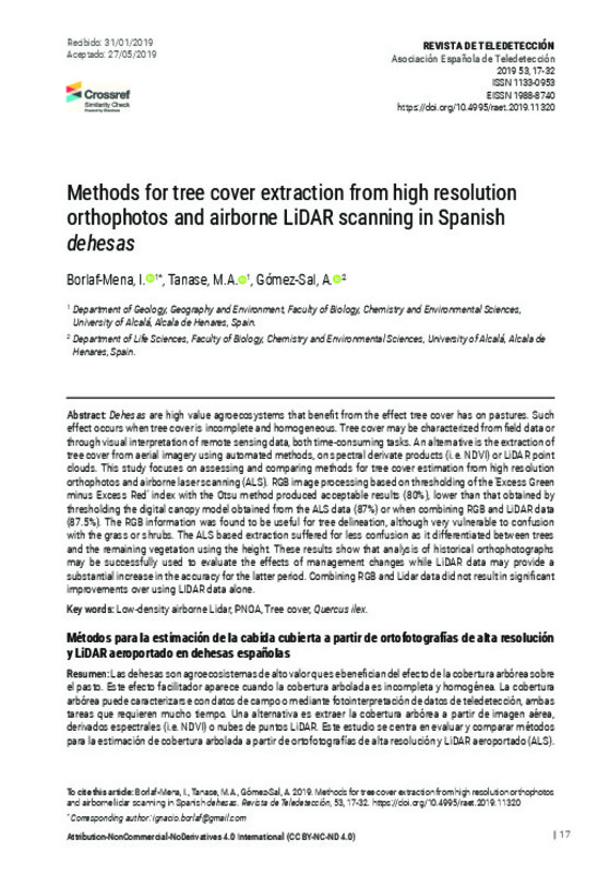
| dc.description.abstract | [EN] Dehesas are high value agroecosystems that benefit from the effect tree cover has on pastures. Such effect occurs when tree cover is incomplete and homogeneous. Tree cover may be characterized from field data or through visual interpretation of remote sensing data, both time-consuming tasks. An alternative is the extraction of tree cover from aerial imagery using automated methods, on spectral derivate products (i.e. NDVI) or LiDAR point clouds. This study focuses on assessing and comparing methods for tree cover estimation from high resolution orthophotos and airborne laser scanning (ALS). RGB image processing based on thresholding of the ‘Excess Green minus Excess Red’ index with the Otsu method produced acceptable results (80%), lower than that obtained by thresholding the digital canopy model obtained from the ALS data (87%) or when combining RGB and LiDAR data (87.5%). The RGB information was found to be useful for tree delineation, although very vulnerable to confusion with the grass or shrubs. The ALS based extraction suffered for less confusion as it differentiated between trees and the remaining vegetation using the height. These results show that analysis of historical orthophotographs may be successfully used to evaluate the effects of management changes while LiDAR data may provide a substantial increase in the accuracy for the latter period. Combining RGB and Lidar data did not result in significant improvements over using LIDAR data alone. | es_ES |
| dc.description.abstract | [ES] Las dehesas son agroecosistemas de alto valor que se benefician del efecto de la cobertura arbórea sobre el pasto. Este efecto facilitador aparece cuando la cobertura arbolada es incompleta y homogénea. La cobertura arbórea puede caracterizarse con datos de campo o mediante fotointerpretación de datos de teledetección, ambas tareas que requieren mucho tiempo. Una alternativa es extraer la cobertura arbórea a partir de imagen aérea, derivados espectrales (i.e. NDVI) o nubes de puntos LiDAR. Este estudio se centra en evaluar y comparar métodos para la estimación de cobertura arbolada a partir de ortofotografías de alta resolución y LiDAR aeroportado (ALS). El procesado de imagen RGB basado en la umbralización del índice ‘Excess green minus excess red’ con el método de Otsu produjo resultados aceptables, algo peores que los obtenidos mediante umbralización del modelo digital de copa obtenido con datos ALS (87%) o al combinar datos RGB y LiDAR (87.5%). La información RGB resultó ser útil para la delineación de copas, aunque muy vulnerable a la confusión con pastos o arbustos. La extracción basada en ALS sufrió menos confusión, ya que diferencia entre el arbolado y otros tipos de vegetación usando la altura. Estos resultados muestran que el análisis de ortofotografías históricas podría usarse para evaluar el efecto en los cambios en la gestión, mientras que los datos LiDAR pueden permitir un aumento sustancial en la precisión en períodos posteriores. Combinar LiDAR y RGB no produjo una mejora sustancial sobre el uso de datos LiDAR. | es_ES |
| dc.description.sponsorship | IGN and the Andalusian government are acknowledged for providing the airborne datasets. The study was carried out under the projects LIFE+ bioDehesa (LIFE11/BIO/ES/000726) and FUNDIVER (MINECO, Spain; CGL2015-69186-C2-2-R projects), funded through the LIFE+ program. | es_ES |
| dc.language | Español | es_ES |
| dc.publisher | Universitat Politècnica de València | |
| dc.relation.ispartof | Revista de Teledetección | |
| dc.rights | Reconocimiento - No comercial - Sin obra derivada (by-nc-nd) | es_ES |
| dc.subject | LiDAR aeroportado de baja densidad | es_ES |
| dc.subject | PNOA | es_ES |
| dc.subject | Fracción de cabida cubierta | es_ES |
| dc.subject | Quercus ilex | es_ES |
| dc.subject | Low-density airborne Lidar | es_ES |
| dc.subject | Tree cover | es_ES |
| dc.title | Métodos para la estimación de la cabida cubierta a partir de ortofotografías de alta resolución y LiDAR aeroportado en dehesas españolas | es_ES |
| dc.title.alternative | Methods for tree cover extraction from high resolution orthophotos and airborne LiDAR scanning in Spanish dehesas | es_ES |
| dc.type | Artículo | es_ES |
| dc.date.updated | 2019-06-27T08:18:29Z | |
| dc.identifier.doi | 10.4995/raet.2019.11320 | |
| dc.relation.projectID | info:eu-repo/grantAgreement/MINECO//CGL2015-69186-C2-2-R/ES/VULNERABILIDAD Y ADAPTACION DE LOS BOSQUES IBERICOS A LA SEQUIA: UNA APROXIMACION MULTI-ESCALA BASADA EN LA DENDROECOLOGIA, INVENTARIOS FORESTALES Y MODELIZACION/ | es_ES |
| dc.rights.accessRights | Abierto | es_ES |
| dc.description.bibliographicCitation | Borlaf-Mena, I.; Tanase, MA.; Gómez-Sal, A. (2019). Métodos para la estimación de la cabida cubierta a partir de ortofotografías de alta resolución y LiDAR aeroportado en dehesas españolas. Revista de Teledetección. (53):17-32. https://doi.org/10.4995/raet.2019.11320 | es_ES |
| dc.description.accrualMethod | SWORD | es_ES |
| dc.relation.publisherversion | https://doi.org/10.4995/raet.2019.11320 | es_ES |
| dc.description.upvformatpinicio | 17 | es_ES |
| dc.description.upvformatpfin | 32 | es_ES |
| dc.type.version | info:eu-repo/semantics/publishedVersion | es_ES |
| dc.description.issue | 53 | |
| dc.identifier.eissn | 1988-8740 | |
| dc.contributor.funder | Ministerio de Economía y Competitividad | es_ES |


