JavaScript is disabled for your browser. Some features of this site may not work without it.
Buscar en RiuNet
Listar
Mi cuenta
Estadísticas
Ayuda RiuNet
Admin. UPV
Evaluando el desempeño de índices espectrales para identificar humedales alto andinos
Mostrar el registro sencillo del ítem
Ficheros en el ítem
| dc.contributor.author | Aponte-Saravia, J.
|
es_ES |
| dc.contributor.author | Ospina-Noreña, J. E.
|
es_ES |
| dc.coverage.spatial | east=-66.7752481; north=-21.1607667; name=Departament de Potosí, Bolívia | es_ES |
| dc.date.accessioned | 2019-06-27T10:00:11Z | |
| dc.date.available | 2019-06-27T10:00:11Z | |
| dc.date.issued | 2019-06-27 | |
| dc.identifier.issn | 1133-0953 | |
| dc.identifier.uri | http://hdl.handle.net/10251/122784 | |
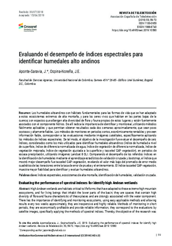
| dc.description.abstract | [EN] High Andean wetlands are habitats critical to life forms that have adapted to these extreme high mountain ecosystems, and for living beings that inhabit the lower parts of the basin; they are spaces that contain high diversity of flora and fauna characteristic of these places and are strongly associated with the water component. There lies the importance of identifying and monitoring ecosystems, using easy applicable methods and allowing results every two weeks approximately, they are inexpensive and highly reliable. Methods of monitoring in short periods, they are economically profitable and provide reliable information, they correspond to the evaluations by satellite images, specifically applying the methods of spectral indices. Thereby, the objective of the research was to evaluate the performance of six indices, considered to be the most used to identify high Andean wetlands (humidity index at surface level, normalized difference water index, normalized difference vegetation index, enhanced vegetation index, index of vegetation to the surface and tasseled CAP vegetation), in periods of low precipitation, using imagery Landsat 8 OLI. Comparing the performance of those indexes in the identification of wetlands through cross-validation and bootstrap statistical learning, the index that showed better performance was tasseled CAP vegetation, revealing the lowest value of the average of the mean square error of iterations between the test failure rate and training. The index tasseled CAP vegetation, shows greater reliability to identify and evaluate high Andean wetlands. | es_ES |
| dc.description.abstract | [ES] Los humedales altoandinos son hábitats fundamentales para las formas de vida que se han adaptado a estos ecosistemas extremos de alta montaña, y para los seres vivos que habitan en las partes bajas de la cuenca; son espacios que albergan alta diversidad de flora y fauna propias de estos lugares y están fuertemente asociados con el componente hídrico. De allí radica la importancia de identificar y monitorear, utilizando métodos fácilmente aplicables y que permitan obtener resultados cada dos semanas aproximadamente, que sean poco costosos y altamente confiables. Los métodos de monitoreo en periodos cortos, económicamente rentables y proveen información confiable, corresponden a las evaluaciones mediante imágenes satelitales, específicamente aplicando los métodos de índices espectrales. De tal modo, el objetivo de la investigación fue evaluar el desempeño de seis índices, considerados como los más utilizados para identificar humedales altoandinos (índice de humedad a nivel de superficie, índice de diferencia normalizada de agua, índice de vegetación de diferencia normalizada, índice de vegetación mejorada, índice de vegetación ajustada a la superficie y tasseled CAP vegetación), en periodos de escasa precipitación, utilizando imágenes Landsat 8 OLI. Comparando el desempeño de los referidos índices en la identificación de humedales mediante el aprendizaje estadístico de validación cruzada y bootstrap, el índice que mostró mejor desempeño fue tasseled CAP vegetación, revelando el valor más bajo del promedio de error medio cuadrático de las iteraciones entre la tasa de error de prueba y el entrenamiento. El índice tasseled CAP vegetación, muestra mayor confiabilidad para identificar y evaluar humedales altoandinos. | es_ES |
| dc.language | Español | es_ES |
| dc.publisher | Universitat Politècnica de València | |
| dc.relation.ispartof | Revista de Teledetección | |
| dc.rights | Reconocimiento - No comercial - Sin obra derivada (by-nc-nd) | es_ES |
| dc.subject | Índices espectrales | es_ES |
| dc.subject | Ecosistemas de alta montaña | es_ES |
| dc.subject | Identificación de humedales | es_ES |
| dc.subject | Validación cruzada | es_ES |
| dc.subject | Spectral index | es_ES |
| dc.subject | Ecosystems of high mountains | es_ES |
| dc.subject | Wetlands | es_ES |
| dc.subject | Cross-validation | es_ES |
| dc.title | Evaluando el desempeño de índices espectrales para identificar humedales alto andinos | es_ES |
| dc.title.alternative | Evaluating the performance of spectral indexes for identify high Andean wetlands | es_ES |
| dc.type | Artículo | es_ES |
| dc.date.updated | 2019-06-27T08:18:24Z | |
| dc.identifier.doi | 10.4995/raet.2019.10580 | |
| dc.rights.accessRights | Abierto | es_ES |
| dc.description.bibliographicCitation | Aponte-Saravia, J.; Ospina-Noreña, JE. (2019). Evaluando el desempeño de índices espectrales para identificar humedales alto andinos. Revista de Teledetección. (53):59-72. https://doi.org/10.4995/raet.2019.10580 | es_ES |
| dc.description.accrualMethod | SWORD | es_ES |
| dc.relation.publisherversion | https://doi.org/10.4995/raet.2019.10580 | es_ES |
| dc.description.upvformatpinicio | 59 | es_ES |
| dc.description.upvformatpfin | 72 | es_ES |
| dc.type.version | info:eu-repo/semantics/publishedVersion | es_ES |
| dc.description.issue | 53 | |
| dc.identifier.eissn | 1988-8740 |


