JavaScript is disabled for your browser. Some features of this site may not work without it.
Buscar en RiuNet
Listar
Mi cuenta
Estadísticas
Ayuda RiuNet
Admin. UPV
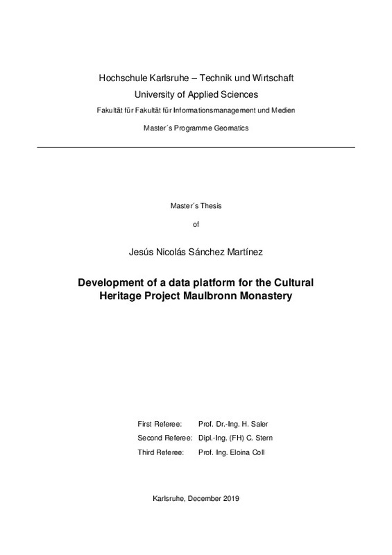
Development of a data platform for the Cultural Heritage Project Maulbronn Monastery
Mostrar el registro sencillo del ítem
Ficheros en el ítem
| dc.contributor.advisor | Coll Aliaga, Peregrina Eloína
|
es_ES |
| dc.contributor.author | Sánchez Martínez, Jesús Nicolás
|
es_ES |
| dc.coverage.spatial | east=8.812183200000002; north=49.0010106; name=Klosterhof 10, 75433 Maulbronn, Alemanya | es_ES |
| dc.date.accessioned | 2020-03-26T09:52:41Z | |
| dc.date.available | 2020-03-26T09:52:41Z | |
| dc.date.created | 2020-01-09 | |
| dc.date.issued | 2020-03-26 | es_ES |
| dc.identifier.uri | http://hdl.handle.net/10251/139514 | |
| dc.description.abstract | [EN] The monastery of Maulbronn is one of the most important monasteries in Germany and it has been declared a World Heritage Site by UNESCO in 1993. It is located at Maulbronn, Baden-Württemberg, Germany. There have been numerous works of the Monastery and there are a lot of different types of data. Thus, a management platform for the administration and visualizations of this valuable treasure of data set is needed. These different types of data, which are explained in the following chapter. Since several years the Faculty of Information Management and Media is working in the field of data acquisition and visualization with the Maulbronn monastery, for that reason, different alternatives will be studied to see which one is the most appropriate to perform a Geoportal or Platform for data management. Later the platform will be developed with the solution that has more benefits for our purpose. To make a complete analysis, the first step is to study examples of platforms or Geoportals already created that have the same objective as this. Then, all the functionalities and options that the Geoportal should have are defined. Finally, a detailed analysis will be done to reach the conclusion of the most optimal solution. The last step is the creation of the application or Geoportal, publish some data and leave it ready to start working with it. | es_ES |
| dc.description.abstract | [ES] El monasterio de Maulbronn es uno de los monasterios más importantes de Alemania y ha sido declarado Patrimonio de la Humanidad por la UNESCO en 1993. Se encuentra ubicado en Maulbronn, Baden-Württemberg, Alemania. Han habido numerosos trabajos del monasterio y hay muchos tipos diferentes de datos. Por lo tanto, será necesario tener una plataforma de gestión para la administración y visualización de este valioso tesoro de conjunto de datos. Desde hace varios años, la Facultad de Gestión de la Información y Medios de Comunicación de Karlsruhe está trabajando en el campo de adquisición de datos y visualización con el monasterio de Maulbronn, por esa razón, se estudiarán diferentes alternativas para ver cuál es la más adecuada para realizar un Geoportal o plataforma para la gestión de datos. Posteriormente la plataforma se desarrollará con la solución que tenga más beneficios para nuestro propósito según el anális realizado anteriormente. Para hacer un análisis completo, el primer paso es estudiar ejemplos de plataformas o Geoportales ya creados que tengan el mismo objetivo que este. Entonces, se definirán todas las funcionalidades y opciones que debe tener el Geoportal. El último paso es la creación de la aplicación o Geoportal con la solución elegida, publicar algunos datos y dejar listo para comenzar a trabajar con él. | es_ES |
| dc.format.extent | 61 | es_ES |
| dc.language | Inglés | es_ES |
| dc.publisher | Universitat Politècnica de València | es_ES |
| dc.rights | Reserva de todos los derechos | es_ES |
| dc.subject | Maulbronn Monastery | es_ES |
| dc.subject | GIS | es_ES |
| dc.subject | Portal for ArcGis | es_ES |
| dc.subject | Geoportal Server | es_ES |
| dc.subject | Maulbronn | es_ES |
| dc.subject | Germany | es_ES |
| dc.subject | Cultural heritage | es_ES |
| dc.subject | Alemania | es_ES |
| dc.subject | Patrimonio cultural | es_ES |
| dc.subject | Monasterio de Maulbronn | es_ES |
| dc.subject | Gestión de datos | es_ES |
| dc.subject | Geoportal | es_ES |
| dc.subject.classification | INGENIERIA CARTOGRAFICA, GEODESIA Y FOTOGRAMETRIA | es_ES |
| dc.subject.other | Máster Universitario en Ingeniería Geomática y Geoinformación-Màster Universitari en Enginyeria Geomàtica i Geoinformació | es_ES |
| dc.title | Development of a data platform for the Cultural Heritage Project Maulbronn Monastery | es_ES |
| dc.title.alternative | Desarrollo de una plataforma para la adminsitracion de datos del Patrimonio Cultural del Monasterio de Maulbronn | es_ES |
| dc.type | Tesis de máster | es_ES |
| dc.rights.accessRights | Abierto | es_ES |
| dc.contributor.affiliation | Universitat Politècnica de València. Departamento de Ingeniería Cartográfica Geodesia y Fotogrametría - Departament d'Enginyeria Cartogràfica, Geodèsia i Fotogrametria | es_ES |
| dc.contributor.affiliation | Universitat Politècnica de València. Escuela Técnica Superior de Ingeniería Geodésica, Cartográfica y Topográfica - Escola Tècnica Superior d'Enginyeria Geodèsica, Cartogràfica i Topogràfica | es_ES |
| dc.description.bibliographicCitation | Sánchez Martínez, JN. (2020). Development of a data platform for the Cultural Heritage Project Maulbronn Monastery. http://hdl.handle.net/10251/139514 | es_ES |
| dc.description.accrualMethod | TFGM | es_ES |
| dc.relation.pasarela | TFGM\124011 | es_ES |
Este ítem aparece en la(s) siguiente(s) colección(ones)
-
ETSIGCT - Trabajos académicos [494]
Escuela Técnica Superior de Ingeniería Geodésica, Cartográfica y Topográfica


