JavaScript is disabled for your browser. Some features of this site may not work without it.
Buscar en RiuNet
Listar
Mi cuenta
Estadísticas
Ayuda RiuNet
Admin. UPV
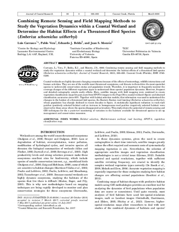
Combining remote sensing and field mapping methods to study the vegetation dynamics within a coastal wetland and determine the habitat effects of a threatened bird species (Emberiza schoeniclus witherbyi)
Mostrar el registro sencillo del ítem
Ficheros en el ítem
| dc.contributor.author | Carrasco, L.
|
es_ES |
| dc.contributor.author | Vera, Pablo
|
es_ES |
| dc.contributor.author | Belda, E.J.
|
es_ES |
| dc.contributor.author | Monrós, J. S.
|
es_ES |
| dc.date.accessioned | 2020-04-24T07:13:28Z | |
| dc.date.available | 2020-04-24T07:13:28Z | |
| dc.date.issued | 2017 | es_ES |
| dc.identifier.issn | 0749-0208 | es_ES |
| dc.identifier.uri | http://hdl.handle.net/10251/141438 | |
| dc.description.abstract | [EN] Coastal wetlands are highly dynamic changing ecosystems because of the effects of meteorology, wildlife interactions and human activities. They are one of the world's most threatened ecosystems, and threats to them drive the most specialist species to unfavorable conservation status and population trends. Therefore, it is important to frequently monitor the coverage changes of the different vegetation types to understand these species' population dynamics. However, frequent and detailed cartography entails costly efforts. Here, satellite images with field mapping were combined to create vegetation classification maps for past years from SPOT-5 images in the Pego-Oliva coastal wetland (Spain) and obtained classification accuracies above 85%. Together with habitat selection models, this information was used to understand the changes in the habitat of a threatened bird species, the Eastern Iberian reed bunting (Emberiza schoeniclus witherbyi), whose population has sharply declined in recent decades in Spain. A statistically significant reduction in reed-rush patches (positively selected habitat) and an increase in homogeneous reed patches (negatively selected habitat) were observed in those areas where the species disappeared as breeders. This study shows the potential of remote sensing and GIS techniques for the a posteriori monitoring of variation in the habitats available for threatened species to set up management and conservation measures. | es_ES |
| dc.description.sponsorship | The authors thank the authorities of the Marjal Pego-Oliva Natural Park for providing the facilities to work in protected areas and for the relevant permits. This study has been funded by projects CGL2005-02041/BOS and CGL2010-21933-C02-02 from the Spanish Ministry of Education and Science. P. Vera was granted research support by Spanish Ornithological Society/BirdLife in 2008. Nacho Encabo and Marcial Marin helped with the fieldwork in 2006 and 2007. | es_ES |
| dc.language | Inglés | es_ES |
| dc.publisher | BioOne (Coastal Education and Research Foundation) | es_ES |
| dc.relation.ispartof | Journal of Coastal Research | es_ES |
| dc.rights | Reserva de todos los derechos | es_ES |
| dc.subject | Habitat selection | es_ES |
| dc.subject | Mediterranean wetland | es_ES |
| dc.subject | Reed bunting | es_ES |
| dc.subject | SPOT-5 | es_ES |
| dc.subject | Vegetation classification map | es_ES |
| dc.subject.classification | BOTANICA | es_ES |
| dc.subject.classification | ZOOLOGIA | es_ES |
| dc.title | Combining remote sensing and field mapping methods to study the vegetation dynamics within a coastal wetland and determine the habitat effects of a threatened bird species (Emberiza schoeniclus witherbyi) | es_ES |
| dc.type | Artículo | es_ES |
| dc.identifier.doi | 10.2112/JCOASTRES-D-16-00194.1 | es_ES |
| dc.relation.projectID | info:eu-repo/grantAgreement/MICINN//CGL2010-21933-C02-02/ES/EFECTOS DEL CALENTAMIENTO GLOBAL SOBRE LA FECUNDIDAD Y LA SUPERVIVENCIA DE PASERIFORMES MEDITERRANEOS/ | es_ES |
| dc.relation.projectID | info:eu-repo/grantAgreement/MEC//CGL2005-02041/ES/CONSERVACION Y GESTION DE LAS POBLACIONES DE ESCRIBANO PALUSTRE EMBERIZA SCHOENICLUS WITHERBYI EN LA PENINSULA IBERICA: APLICACION DE MODELOS PREDICTIVOS DE DISTRIBUCION, DEMOGRAFIA Y GENETICA DE POB/ | es_ES |
| dc.rights.accessRights | Abierto | es_ES |
| dc.contributor.affiliation | Universitat Politècnica de València. Departamento de Ciencia Animal - Departament de Ciència Animal | es_ES |
| dc.contributor.affiliation | Universitat Politècnica de València. Departamento de Ecosistemas Agroforestales - Departament d'Ecosistemes Agroforestals | es_ES |
| dc.description.bibliographicCitation | Carrasco, L.; Vera, P.; Belda, E.; Monrós, JS. (2017). Combining remote sensing and field mapping methods to study the vegetation dynamics within a coastal wetland and determine the habitat effects of a threatened bird species (Emberiza schoeniclus witherbyi). Journal of Coastal Research. 34(1):42-49. https://doi.org/10.2112/JCOASTRES-D-16-00194.1 | es_ES |
| dc.description.accrualMethod | S | es_ES |
| dc.relation.publisherversion | https://doi.org/10.2112/JCOASTRES-D-16-00194.1 | es_ES |
| dc.description.upvformatpinicio | 42 | es_ES |
| dc.description.upvformatpfin | 49 | es_ES |
| dc.type.version | info:eu-repo/semantics/publishedVersion | es_ES |
| dc.description.volume | 34 | es_ES |
| dc.description.issue | 1 | es_ES |
| dc.relation.pasarela | S\329054 | es_ES |
| dc.contributor.funder | Ministerio de Educación y Ciencia | es_ES |
| dc.contributor.funder | Sociedad Española de Ornitología | es_ES |
| dc.contributor.funder | Ministerio de Ciencia e Innovación | es_ES |


