JavaScript is disabled for your browser. Some features of this site may not work without it.
Buscar en RiuNet
Listar
Mi cuenta
Estadísticas
Ayuda RiuNet
Admin. UPV
An open dataset about georeferenced harmonized national agricultural censuses and surveys of seven mediterranean countries
Mostrar el registro sencillo del ítem
Ficheros en el ítem
| dc.contributor.author | Villani, Ricardo
|
es_ES |
| dc.contributor.author | Sabbatini, Tiziana
|
es_ES |
| dc.contributor.author | Moreno-Pérez, Olga M.
|
es_ES |
| dc.contributor.author | Guiomar, Nuno
|
es_ES |
| dc.contributor.author | Debolini, Marta
|
es_ES |
| dc.date.accessioned | 2020-11-25T04:31:49Z | |
| dc.date.available | 2020-11-25T04:31:49Z | |
| dc.date.issued | 2019-12 | es_ES |
| dc.identifier.uri | http://hdl.handle.net/10251/155708 | |
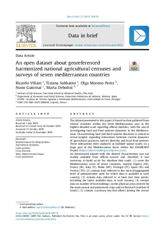
| dc.description.abstract | [EN] The dataset presented in this paper is based on data gathered from several countries within the West Mediterranean area at the highest detailed scale regarding official statistics, with the aim of investigating land and food systems dynamics in the Mediterranean. Characterizing land and food systems dynamics is critical to reveal insights regarding interactions between current dynamics of agricultural practices, species diversity and local food systems. These interactions were analyzed, at multiple spatial scales, on a large part of the Mediterranean basin within the DIVERCROP Project (https://divercropblog.wordpress.com/). An harmonized dataset with the desired characteristics was not readily available from official sources and, therefore, it was necessary to build an ad hoc database that could: (1) cover the Mediterranean areas of seven countries, namely Algeria (DZ), France (FR), Italy (IT), Malta (MT), Portugal (PT), Spain (ES) and Tunisia (TN); (2) contain data referred to the most disaggregated level of administrative units for which data is available in each country; (3) contain data referred to at least two time points, including the latest available data, in each country; (4) contain data on number of farm holdings, on the physical areas covered by the main annual and permanent crops and on livestock (number of heads); (5) contain a primary key that allows joining the census and surveys database to a geographical dataset of administrative units covering the entire area; (6) have an associated complete geographical dataset of administrative units, to allow spatial data analyses. | es_ES |
| dc.description.sponsorship | DIVERCROP is funded through the ARIMNet2 2016 Call by the following funding agencies: ANR, IRESA (Tunisia), INIA (Spain), FCT (Portugal), ATRSNV (Algeria), MiPAAF (Italy) and MCST. ARIMNet2 (ERA-NET) has received funding from the European Union s Seventh Framework Programme for research, technological development and demonstration under grant agreement n 618127. Special thanks to all of the local partners of the DIVERCROP project for collaborating on data collection, discussing the method and validating the results. | es_ES |
| dc.language | Inglés | es_ES |
| dc.publisher | Elsevier | es_ES |
| dc.relation.ispartof | Data in Brief | es_ES |
| dc.rights | Reconocimiento (by) | es_ES |
| dc.subject | Mediterranean farming systems | es_ES |
| dc.subject | Agricultural dynamics | es_ES |
| dc.subject | Land systems | es_ES |
| dc.subject | Crop diversity | es_ES |
| dc.subject | West mediterranean basin | es_ES |
| dc.subject | Crop production | es_ES |
| dc.subject.classification | ECONOMIA, SOCIOLOGIA Y POLITICA AGRARIA | es_ES |
| dc.title | An open dataset about georeferenced harmonized national agricultural censuses and surveys of seven mediterranean countries | es_ES |
| dc.type | Artículo | es_ES |
| dc.identifier.doi | 10.1016/j.dib.2019.104774 | es_ES |
| dc.relation.projectID | info:eu-repo/grantAgreement/EC/FP7/618127/EU/Coordination of the Agricultural Research in the Mediterranean/ | es_ES |
| dc.relation.projectID | info:eu-repo/grantAgreement/MINECO//APCIN2016-00065-00-00/ES/Land system dynamics in the Mediterranean basin across scales as relevant indicator for species diversity and local food systems (DIVERCROP)/ | es_ES |
| dc.rights.accessRights | Abierto | es_ES |
| dc.contributor.affiliation | Universitat Politècnica de València. Departamento de Economía y Ciencias Sociales - Departament d'Economia i Ciències Socials | es_ES |
| dc.description.bibliographicCitation | Villani, R.; Sabbatini, T.; Moreno-Pérez, OM.; Guiomar, N.; Debolini, M. (2019). An open dataset about georeferenced harmonized national agricultural censuses and surveys of seven mediterranean countries. Data in Brief. 27:1-8. https://doi.org/10.1016/j.dib.2019.104774 | es_ES |
| dc.description.accrualMethod | S | es_ES |
| dc.relation.publisherversion | https://doi.org/10.1016/j.dib.2019.104774 | es_ES |
| dc.description.upvformatpinicio | 1 | es_ES |
| dc.description.upvformatpfin | 8 | es_ES |
| dc.type.version | info:eu-repo/semantics/publishedVersion | es_ES |
| dc.description.volume | 27 | es_ES |
| dc.identifier.eissn | 2352-3409 | es_ES |
| dc.identifier.pmid | 31788512 | es_ES |
| dc.identifier.pmcid | PMC6880016 | es_ES |
| dc.relation.pasarela | S\397828 | es_ES |
| dc.contributor.funder | Instituto Nacional de Investigación y Tecnología Agraria y Alimentaria | es_ES |


