|
Resumen:
|
[ES] Ruzafa ha sido hasta finales de 1877, un municipio con identidad propia, con su historia, con sus trazas urbanas resultado de las huellas antrópicas en el territorio, durante muchos siglos.
Con el crecimiento de la ...[+]
[ES] Ruzafa ha sido hasta finales de 1877, un municipio con identidad propia, con su historia, con sus trazas urbanas resultado de las huellas antrópicas en el territorio, durante muchos siglos.
Con el crecimiento de la ciudad de Valencia y los primeros ensanches planificados de la ciudad, se absorbe el barrio de Ruzafa y se produce un conflicto entre la trama histórica de barrio y las tramas ortogonales del nuevo crecimiento metropolitano. Conflicto que se extiende a la tipología edificatoria entre las viviendas tradicionales del pueblo de Ruzafa y las modernas tipologías de manzanas achaflanadas propias de los ensanches de finales del siglo XIX y principios del XX.
El mercado de Ruzafa junto con la denominada ¿manzana perdida¿, servirá como núcleo de dos ejes longitudinales que conectan el barrio en su totalidad y servirán como elementos de búsqueda de nuevos recorridos peatonales ligados siempre al espacio verde.
Unos ejes que se verán transformados en la actuación pero que servirán principalmente como guía de una nueva idea de conexión del barrio. Dos ejes que deberán mantener su carácter de comunicación y a través de los cuáles ejes se localizan espacios vacíos o de oportunidad que se deben unificar al propio eje, generando nuevos espacios públicos de interés y que provoquen un nuevo recorrido peatonal.
Estos espacios interiores encerrados en la tipología de manzana cerrada producida por el planeamiento del ensanche deben devolverse a la ciudad, en medida que es posible, localizando todos aquellos espacios de oportunidad para realizar dichas actuaciones.
La ¿manzana perdida¿ se encuentra en un barrio con una situación de desamparo, en la que los propios vecinos centran su problemática en el proceso de gentrificación, la desaparición del comercio de proximidad y de la privatización del espacio público, provocando así un deterioro de la calidad de vida, aumento de los niveles de ruido y de la multiplicación de la necesidad de aparcamiento de vehículos.
Los mismos vecinos demandan la necesidad de infraestructuras en el barrio, ya que carecen de cualquier tipo en el mismo. No solo se habla de la necesidad de espacios verdes, sino también de una infraestructura pública de servicios, deportivos culturales y sobre todo de creación de espacios de relación y de convivencia. Demanda una actividad de barrio y de sociedad que se ha perdido en la trama urbana y la edificación.
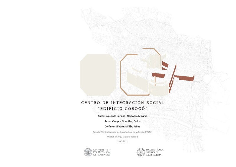
Es por ello que se propone la creación de un centro social de integración, que recoja a los grupos sociales más afectados como son los colectivos poblacionales de jóvenes, la tercera edad y las personas migrantes. El objetivo del centro será la integración social de los colectivos a través de una relación directa entre ellos mediante las instalaciones de uso compartido y circulaciones, manteniendo zonas de uso privativo para cada uno de los grupos.
[-]
[EN] Ruzafa has been until the end of 1877, a municipality with its own identity, with its history, with its urban traces resulting from the anthropic traces in the territory, for many centuries.
With the growth of the ...[+]
[EN] Ruzafa has been until the end of 1877, a municipality with its own identity, with its history, with its urban traces resulting from the anthropic traces in the territory, for many centuries.
With the growth of the city of Valencia and the first planned expansions of the city, the Ruzafa neighborhood was absorbed and a conflict arose between the historical fabric of the neighborhood and the orthogonal plots of the new metropolitan growth. This conflict extends to the building typology between the traditional houses of the village of Ruzafa and the modern typologies of chamfered blocks typical of the enlargements of the late nineteenth and early twentieth centuries.
The Ruzafa market together with the so-called "lost block", will serve as the core of two longitudinal axes that connect the neighborhood as a whole and will serve as elements of search for new pedestrian routes always linked to the green space.
These axes will be transformed in the action but will serve mainly as a guide to a new idea of connecting the neighborhood. Two axes that must maintain their character of communication and through which axes are located empty spaces or opportunity that must be unified to the axis itself, generating new public spaces of interest and that cause a new pedestrian route.
These interior spaces enclosed in the closed block typology produced by the planning of the urban expansion should be returned to the city, as far as possible, locating all those spaces of opportunity to carry out such actions.
The "lost block" is located in a neighborhood with a situation of neglect, in which the neighbors themselves focus their problems on the process of gentrification, the disappearance of local commerce and the privatization of public space, thus causing a deterioration of the quality of life, increased noise levels and the multiplication of the need for vehicle parking.
The neighbors themselves demand the need for infrastructure in the neighborhood, since they lack any kind of infrastructure in the neighborhood. They not only talk about the need for green spaces, but also for a public infrastructure of services, cultural sports and above all the creation of spaces for relationships and coexistence. It demands a neighborhood and social activity that has been lost in the urban fabric and building.
It is for this reason that the creation of a social integration center is proposed, which will bring together the most affected social groups such as young people, the elderly and migrants. The objective of the center will be the social integration of the groups through a direct relationship between them by means
of shared use facilities and circulations, maintaining areas of private use for each of the groups.
[-]
|


