JavaScript is disabled for your browser. Some features of this site may not work without it.
Buscar en RiuNet
Listar
Mi cuenta
Estadísticas
Ayuda RiuNet
Admin. UPV
An Approach to Improving GNSS Positioning Accuracy Using Several GNSS Devices
Mostrar el registro sencillo del ítem
Ficheros en el ítem
| dc.contributor.author | Jiménez-Martínez, Mª Jesús
|
es_ES |
| dc.contributor.author | Farjas-Abadia, Mercedes
|
es_ES |
| dc.contributor.author | Quesada-Olmo, María Nieves
|
es_ES |
| dc.date.accessioned | 2022-07-19T18:05:34Z | |
| dc.date.available | 2022-07-19T18:05:34Z | |
| dc.date.issued | 2021-03 | es_ES |
| dc.identifier.issn | 2072-4292 | es_ES |
| dc.identifier.uri | http://hdl.handle.net/10251/184437 | |
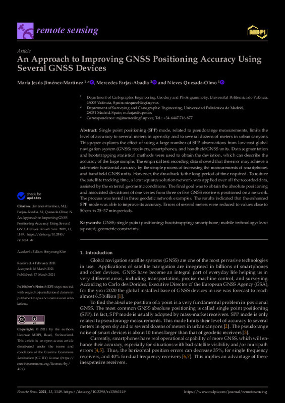
| dc.description.abstract | [EN] Single point positioning (SPP) mode, related to pseudorange measurements, limits the level of accuracy to several meters in open sky and to several dozens of meters in urban canyons. This paper explores the effect of using a large number of SPP observations from low-cost global navigation system (GNSS) receivers, smartphones, and handheld GNSS units. Data segmentation and bootstrapping statistical methods were used to obtain the deviation, which can describe the accuracy of the large sample. The empirical test recording data showed that the error may achieve a sub-meter horizontal accuracy by the simple process of increasing the measurements of smartphones and handheld GNSS units. However, the drawback is the long period of time required. To reduce the satellite tracking time, a least squares solution network was applied over all the recorded data, assisted by the external geometric conditions. The final goal was to obtain the absolute positioning and associated deviations of one vertex from three or five GNSS receivers positioned on a network. The process was tested in three geodetic network examples. The results indicated that the enhanced SPP mode was able to improve its accuracy. Errors of several meters were reduced to values close to 50 cm in 25-37 min periods. | es_ES |
| dc.description.sponsorship | This research was funded by the Comunidad de Madrid (CAM) and the European Social Fund (ESF) grant number [H2019/HUM-5742 AVIPES-CM. | es_ES |
| dc.language | Inglés | es_ES |
| dc.publisher | MDPI AG | es_ES |
| dc.relation.ispartof | Remote Sensing | es_ES |
| dc.rights | Reconocimiento (by) | es_ES |
| dc.subject | GNSS | es_ES |
| dc.subject | Single point positioning | es_ES |
| dc.subject | Bootstrapping | es_ES |
| dc.subject | Smartphone | es_ES |
| dc.subject | Mobile technology | es_ES |
| dc.subject | Least squared | es_ES |
| dc.subject | Geometric constraints | es_ES |
| dc.subject.classification | INGENIERIA CARTOGRAFICA, GEODESIA Y FOTOGRAMETRIA | es_ES |
| dc.title | An Approach to Improving GNSS Positioning Accuracy Using Several GNSS Devices | es_ES |
| dc.type | Artículo | es_ES |
| dc.identifier.doi | 10.3390/rs13061149 | es_ES |
| dc.relation.projectID | info:eu-repo/grantAgreement/CAM//H2019%2FHUM-5742 AVIPES-CM/ | es_ES |
| dc.rights.accessRights | Abierto | es_ES |
| dc.contributor.affiliation | Universitat Politècnica de València. Departamento de Ingeniería Cartográfica Geodesia y Fotogrametría - Departament d'Enginyeria Cartogràfica, Geodèsia i Fotogrametria | es_ES |
| dc.description.bibliographicCitation | Jiménez-Martínez, MJ.; Farjas-Abadia, M.; Quesada-Olmo, MN. (2021). An Approach to Improving GNSS Positioning Accuracy Using Several GNSS Devices. Remote Sensing. 13(6):1-27. https://doi.org/10.3390/rs13061149 | es_ES |
| dc.description.accrualMethod | S | es_ES |
| dc.relation.publisherversion | https://doi.org/10.3390/rs13061149 | es_ES |
| dc.description.upvformatpinicio | 1 | es_ES |
| dc.description.upvformatpfin | 27 | es_ES |
| dc.type.version | info:eu-repo/semantics/publishedVersion | es_ES |
| dc.description.volume | 13 | es_ES |
| dc.description.issue | 6 | es_ES |
| dc.relation.pasarela | S\431027 | es_ES |
| dc.contributor.funder | Comunidad de Madrid | es_ES |
| dc.contributor.funder | European Social Fund | es_ES |


