JavaScript is disabled for your browser. Some features of this site may not work without it.
Buscar en RiuNet
Listar
Mi cuenta
Estadísticas
Ayuda RiuNet
Admin. UPV
Development of a Submillimetric GNSS-Based Distance Meter for Length Metrology
Mostrar el registro sencillo del ítem
Ficheros en el ítem
| dc.contributor.author | García-Asenjo Villamayor, Luis
|
es_ES |
| dc.contributor.author | Baselga Moreno, Sergio
|
es_ES |
| dc.contributor.author | Atkins, Chris
|
es_ES |
| dc.contributor.author | Garrigues Talens, Pascual
|
es_ES |
| dc.date.accessioned | 2022-10-07T18:06:55Z | |
| dc.date.available | 2022-10-07T18:06:55Z | |
| dc.date.issued | 2021-02-06 | es_ES |
| dc.identifier.uri | http://hdl.handle.net/10251/187289 | |
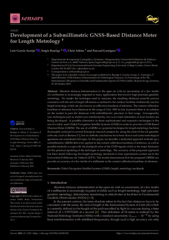
| dc.description.abstract | [EN] Absolute distance determination in the open air with an uncertainty of a few tenths of a millimetre is increasingly required in many applications that involve high precision geodetic metrology. No matter the technique used to measure, the resulting distances must be proven consistent with the unit of length (SI-metre) as realized in the outdoor facilities traditionally used in length metrology, which are also known as calibration baselines of reference. The current calibration baselines of reference have distances in the range of 10 to 1000 m, but at present there is no solution on the market to provide distances with submillimetric precision in that range. Consequently, new techniques such as multi-wave interferometry, two-wave laser telemeters or laser trackers are being developed. A possible alternative to those sophisticated and expensive techniques is the use of widely used Global Navigation Satellite Systems (GNSS) in order to provide a GNSS-Based Distance Meter (GBDM). The use of a GBDM as a potential technique for length metrology has been thoroughly analysed in several European research projects by using the state-of-the-art geodetic software, such as Bernese 5.2, but no definite conclusions have been drawn and some metrological questions are considered still open. In this paper, we describe a dedicated approach to build up a submillimetric GBDM able to be applied in the current calibration baselines of reference, as well as possible methods to cope with the multipath error of the GNSS signals which is the major limitation for the practical uptaking of the technique in metrology. The accuracy of the proposed approach has been tested following the length metrology standards in four experiments carried out in the Universitat Politecnica de Valencia (UPV). The results demonstrate that the proposed GBDM can provide an accuracy of a few tenths of a millimetre in the current calibration baselines of reference | es_ES |
| dc.description.sponsorship | This work was partly performed within the 18SIB01 GeoMetre project of the European Metrology Programme for Innovation and Research (EMPIR). This project has received funding from the EMPIR programme co-financed by the Participating States and from the European Union's Horizon 2020 research and innovation programme. This research was also partly funded by the Spanish Ministry of Education, Culture and Sports (PRX17/00371). | es_ES |
| dc.language | Inglés | es_ES |
| dc.publisher | MDPI AG | es_ES |
| dc.relation.ispartof | Sensors | es_ES |
| dc.rights | Reconocimiento (by) | es_ES |
| dc.subject | Global Navigation Satellite Systems (GNSS) | es_ES |
| dc.subject | Length | es_ES |
| dc.subject | Metrology | es_ES |
| dc.subject | Multipath | es_ES |
| dc.subject.classification | INGENIERIA CARTOGRAFICA, GEODESIA Y FOTOGRAMETRIA | es_ES |
| dc.title | Development of a Submillimetric GNSS-Based Distance Meter for Length Metrology | es_ES |
| dc.type | Artículo | es_ES |
| dc.identifier.doi | 10.3390/s21041145 | es_ES |
| dc.relation.projectID | info:eu-repo/grantAgreement/Ministerio de Educación, Cultura y Deporte//PRX17%2F00371//Mitigación del efecto multitrayectoria en distanciometría GNSS submilimétrica para metrología y monitorización de deformaciones. / | es_ES |
| dc.relation.projectID | info:eu-repo/grantAgreement/EURAMET E.V.//18SIB01 GEOMETRE//Large-scale dimensional measurements for geodesy/ | es_ES |
| dc.rights.accessRights | Abierto | es_ES |
| dc.contributor.affiliation | Universitat Politècnica de València. Departamento de Ingeniería Cartográfica Geodesia y Fotogrametría - Departament d'Enginyeria Cartogràfica, Geodèsia i Fotogrametria | es_ES |
| dc.description.bibliographicCitation | García-Asenjo Villamayor, L.; Baselga Moreno, S.; Atkins, C.; Garrigues Talens, P. (2021). Development of a Submillimetric GNSS-Based Distance Meter for Length Metrology. Sensors. 21(4):1-21. https://doi.org/10.3390/s21041145 | es_ES |
| dc.description.accrualMethod | S | es_ES |
| dc.relation.publisherversion | https://doi.org/10.3390/s21041145 | es_ES |
| dc.description.upvformatpinicio | 1 | es_ES |
| dc.description.upvformatpfin | 21 | es_ES |
| dc.type.version | info:eu-repo/semantics/publishedVersion | es_ES |
| dc.description.volume | 21 | es_ES |
| dc.description.issue | 4 | es_ES |
| dc.identifier.eissn | 1424-8220 | es_ES |
| dc.identifier.pmid | 33562026 | es_ES |
| dc.identifier.pmcid | PMC7914682 | es_ES |
| dc.relation.pasarela | S\443805 | es_ES |
| dc.contributor.funder | EURAMET E.V. | es_ES |
| dc.contributor.funder | Ministerio de Educación, Cultura y Deporte | es_ES |
| upv.costeAPC | 2018 | es_ES |


