JavaScript is disabled for your browser. Some features of this site may not work without it.
Buscar en RiuNet
Listar
Mi cuenta
Estadísticas
Ayuda RiuNet
Admin. UPV
Improving UAV Mission Quality and Safety through Topographic Awareness
Mostrar el registro sencillo del ítem
Ficheros en el ítem
| dc.contributor.author | Wubben, Jamie
|
es_ES |
| dc.contributor.author | Morales, Christian
|
es_ES |
| dc.contributor.author | Tavares De Araujo Cesariny Calafate, Carlos Miguel
|
es_ES |
| dc.contributor.author | Hernández-Orallo, Enrique
|
es_ES |
| dc.contributor.author | Cano, Juan-Carlos
|
es_ES |
| dc.contributor.author | Manzoni, Pietro
|
es_ES |
| dc.date.accessioned | 2023-05-15T18:01:48Z | |
| dc.date.available | 2023-05-15T18:01:48Z | |
| dc.date.issued | 2022-03 | es_ES |
| dc.identifier.uri | http://hdl.handle.net/10251/193377 | |
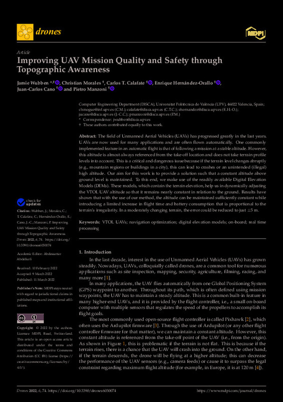
| dc.description.abstract | [EN] The field of Unmanned Aerial Vehicles (UAVs) has progressed greatly in the last years. UAVs are now used for many applications and are often flown automatically. One commonly implemented feature in an automatic flight is that of following a mission at a stable altitude. However, this altitude is almost always referenced from the take-off location and does not take terrain profile levels into account. This is a critical and dangerous issue because if the terrain level changes abruptly (e.g., mountain regions or buildings in a city), this can lead to crashes or an unintended (illegal) high altitude. Our aim for this work is to provide a solution such that a constant altitude above ground level is maintained. To this end, we make use of the readily available Digital Elevation Models (DEMs). These models, which contain the terrain elevation, help us in dynamically adjusting the VTOL UAV altitude so that it remains nearly constant in relation to the ground. Results have shown that with the use of our method, the altitude can be maintained sufficiently constant while introducing a limited increase in flight time and battery consumption that is proportional to the terrain's irregularity. In a moderately changing terrain, the error could be reduced to just +/- 5 m. | es_ES |
| dc.description.sponsorship | This work is derived from R&D projects RTI2018-096384-B-I00 and RTC2019-007159-5, funded by MCIN/AEI/10.13039/501100011033 and the European Regional Development Fund (ERDF) "A Way of Making Europe", and by the Conselleria de Educacion, Investigacion, Cultura y Deporte, Direccio General de Ciencia i Investigacio, Proyectos AICO/2020, Spain, under the Grant AICO/2020/302. | es_ES |
| dc.language | Inglés | es_ES |
| dc.publisher | MDPI AG | es_ES |
| dc.relation.ispartof | Drones | es_ES |
| dc.rights | Reconocimiento (by) | es_ES |
| dc.subject | VTOL UAVs | es_ES |
| dc.subject | Navigation optimization | es_ES |
| dc.subject | Digital elevation models | es_ES |
| dc.subject | On-board | es_ES |
| dc.subject | Real time processing | es_ES |
| dc.subject.classification | ARQUITECTURA Y TECNOLOGIA DE COMPUTADORES | es_ES |
| dc.title | Improving UAV Mission Quality and Safety through Topographic Awareness | es_ES |
| dc.type | Artículo | es_ES |
| dc.identifier.doi | 10.3390/drones6030074 | es_ES |
| dc.relation.projectID | info:eu-repo/grantAgreement/AEI/Plan Estatal de Investigación Científica y Técnica y de Innovación 2017-2020/RTI2018-096384-B-I00/ES/SOLUCIONES PARA UNA GESTION EFICIENTE DEL TRAFICO VEHICULAR BASADAS EN SISTEMAS Y SERVICIOS EN RED/ | es_ES |
| dc.relation.projectID | info:eu-repo/grantAgreement/MICINN//RTC-2019-007159-5//DESARROLLO DE INFRAESTRUCTURAS IOT DE ALTAS PRESTACIONES CONTRA EL CAMBIO CLIMÁTICO BASADAS EN INTELIGENCIA ARTIFICIAL/ | es_ES |
| dc.relation.projectID | info:eu-repo/grantAgreement/Conselleria d'Educació, Investigació, Cultura i Esport de la Generalitat Valenciana//AICO%2F2020%2F302/ | es_ES |
| dc.rights.accessRights | Abierto | es_ES |
| dc.contributor.affiliation | Universitat Politècnica de València. Departamento de Informática de Sistemas y Computadores - Departament d'Informàtica de Sistemes i Computadors | es_ES |
| dc.contributor.affiliation | Universitat Politècnica de València. Escola Tècnica Superior d'Enginyeria Informàtica | es_ES |
| dc.description.bibliographicCitation | Wubben, J.; Morales, C.; Tavares De Araujo Cesariny Calafate, CM.; Hernández-Orallo, E.; Cano, J.; Manzoni, P. (2022). Improving UAV Mission Quality and Safety through Topographic Awareness. Drones. 6(3):1-16. https://doi.org/10.3390/drones6030074 | es_ES |
| dc.description.accrualMethod | S | es_ES |
| dc.relation.publisherversion | https://doi.org/10.3390/drones6030074 | es_ES |
| dc.description.upvformatpinicio | 1 | es_ES |
| dc.description.upvformatpfin | 16 | es_ES |
| dc.type.version | info:eu-repo/semantics/publishedVersion | es_ES |
| dc.description.volume | 6 | es_ES |
| dc.description.issue | 3 | es_ES |
| dc.identifier.eissn | 2504-446X | es_ES |
| dc.relation.pasarela | S\458026 | es_ES |
| dc.contributor.funder | Agencia Estatal de Investigación | es_ES |
| dc.contributor.funder | European Regional Development Fund | es_ES |
| dc.contributor.funder | Ministerio de Ciencia e Innovación | es_ES |
| dc.contributor.funder | Conselleria d'Educació, Investigació, Cultura i Esport de la Generalitat Valenciana | es_ES |


