JavaScript is disabled for your browser. Some features of this site may not work without it.
Buscar en RiuNet
Listar
Mi cuenta
Estadísticas
Ayuda RiuNet
Admin. UPV
Mapping avocado in Michoacán with Sentinel-2 images and a mixed methodology
Mostrar el registro sencillo del ítem
Ficheros en el ítem
| dc.contributor.author | España Boquera, Maria Luisa
|
es_ES |
| dc.contributor.author | Castro-Bleda, Maria Jose
|
es_ES |
| dc.contributor.author | España Boquera, Salvador
|
es_ES |
| dc.date.accessioned | 2023-11-20T19:00:28Z | |
| dc.date.available | 2023-11-20T19:00:28Z | |
| dc.date.issued | 2022-11-17 | es_ES |
| dc.identifier.uri | http://hdl.handle.net/10251/200002 | |
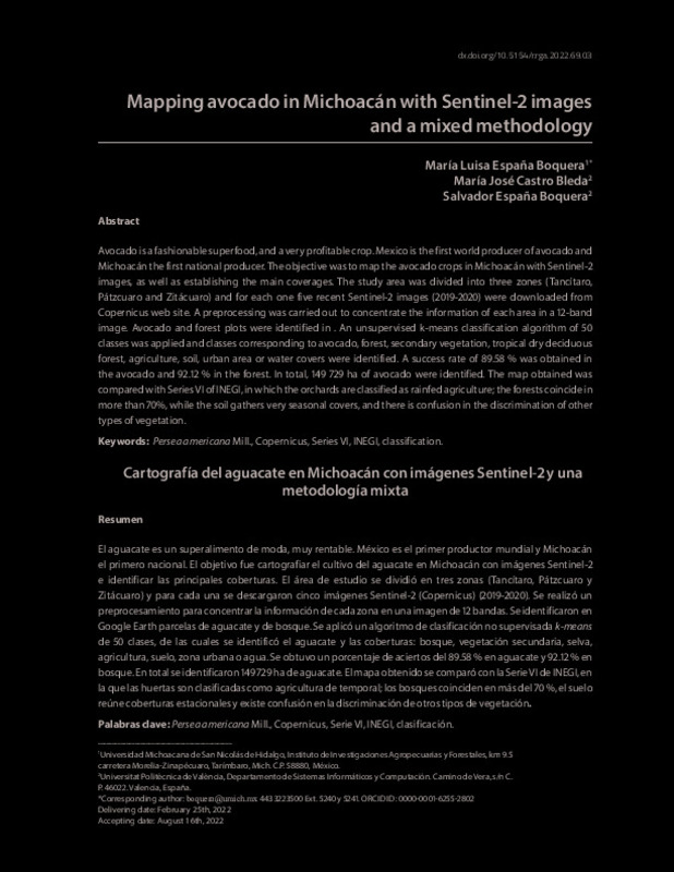
| dc.description.abstract | [ES] El aguacate es un superalimento de moda, muy rentable. México es el primer productor mundial y Michoacán el primero nacional. El objetivo fue cartografiar el cultivo del aguacate en Michoacán con imágenes Sentinel-2 e identificar las principales coberturas. El área de estudio se dividió en tres zonas (Tancítaro, Pátzcuaro y Zitácuaro) y para cada una se descargaron cinco imágenes Sentinel-2 (Copernicus) (2019-2020). Se realizó un preprocesamiento para concentrar la información de cada zona en una imagen de 12 bandas. Se identificaron en Google Earth parcelas de aguacate y de bosque. Se aplicó un algoritmo de clasificación no supervisada k-meansde 50 clases, de las cuales se identificó el aguacate y las coberturas: bosque, vegetación secundaria, selva, agricultura, suelo, zona urbana o agua. Se obtuvo un porcentaje de aciertos del 89.58 % en aguacate y 92.12 % en bosque. En total se identificaron 149 729 ha de aguacate. El mapa obtenido se comparó con la Serie VI de INEGI, en la que las huertas son clasificadas como agricultura de temporal; los bosques coinciden en más del 70 %, el suelo reúne coberturas estacionales y existe confusión en la discriminación de otros tipos de vegetación. | es_ES |
| dc.description.abstract | [EN] Avocado is a fashionable superfood, and a very profitable crop. Mexico is the first world producer of avocado and Michoacán the first national producer. The objective was to map the avocado crops in Michoacán with Sentinel-2 images, as well as establishing the main coverages. The study area was divided into three zones (Tancítaro, Pátzcuaro and Zitácuaro) and for each one five recent Sentinel-2 images (2019-2020) were downloaded from Copernicus web site. A preprocessing was carried out to concentrate the information of each area in a 12-band image. Avocado and forest plots were identified in . An unsupervised k-means classification algorithm of 50 classes was applied and classes corresponding to avocado, forest, secondary vegetation, tropical dry deciduous forest, agriculture, soil, urban area or water covers were identified. A success rate of 89.58 % was obtained in the avocado and 92.12 % in the forest. In total, 149 729 ha of avocado were identified. The map obtained was compared with Series VI of INEGI, in which the orchards are classified as rainfed agriculture; the forests coincide in more than 70%, while the soil gathers very seasonal covers, and there is confusion in the discrimination of other types of vegetation. | es_ES |
| dc.language | Español | es_ES |
| dc.language | Inglés | es_ES |
| dc.publisher | Universidad Autónoma de Chapingo | es_ES |
| dc.relation.ispartof | Revista de Geografía Agrícola | es_ES |
| dc.rights | Reconocimiento - No comercial (by-nc) | es_ES |
| dc.subject | Persea americana Mill. | es_ES |
| dc.subject | Copernicus | es_ES |
| dc.subject | Series VI | es_ES |
| dc.subject | INEGI | es_ES |
| dc.subject | Classification | es_ES |
| dc.subject | Clasificación | es_ES |
| dc.subject.classification | LENGUAJES Y SISTEMAS INFORMATICOS | es_ES |
| dc.title | Mapping avocado in Michoacán with Sentinel-2 images and a mixed methodology | es_ES |
| dc.title.alternative | Cartografía del aguacate en Michoacán con imágenes Sentinel-2 y una metodología mixta | es_ES |
| dc.type | Artículo | es_ES |
| dc.identifier.doi | 10.5154/r.rga.2022.69.03 | es_ES |
| dc.rights.accessRights | Abierto | es_ES |
| dc.contributor.affiliation | Universitat Politècnica de València. Escola Tècnica Superior d'Enginyeria Informàtica | es_ES |
| dc.description.bibliographicCitation | España Boquera, ML.; Castro-Bleda, MJ.; España Boquera, S. (2022). Mapping avocado in Michoacán with Sentinel-2 images and a mixed methodology. Revista de Geografía Agrícola. 69:61-80. https://doi.org/10.5154/r.rga.2022.69.03 | es_ES |
| dc.description.accrualMethod | S | es_ES |
| dc.relation.publisherversion | https://doi.org/10.5154/r.rga.2022.69.03 | es_ES |
| dc.description.upvformatpinicio | 61 | es_ES |
| dc.description.upvformatpfin | 80 | es_ES |
| dc.type.version | info:eu-repo/semantics/publishedVersion | es_ES |
| dc.description.volume | 69 | es_ES |
| dc.identifier.eissn | 2448-7368 | es_ES |
| dc.relation.pasarela | S\491521 | es_ES |


