JavaScript is disabled for your browser. Some features of this site may not work without it.
Buscar en RiuNet
Listar
Mi cuenta
Estadísticas
Ayuda RiuNet
Admin. UPV
Desde el lunes 3 y hasta el jueves 20 de marzo, RiuNet funcionará en modo de solo lectura a causa de su actualización a una nueva versión.
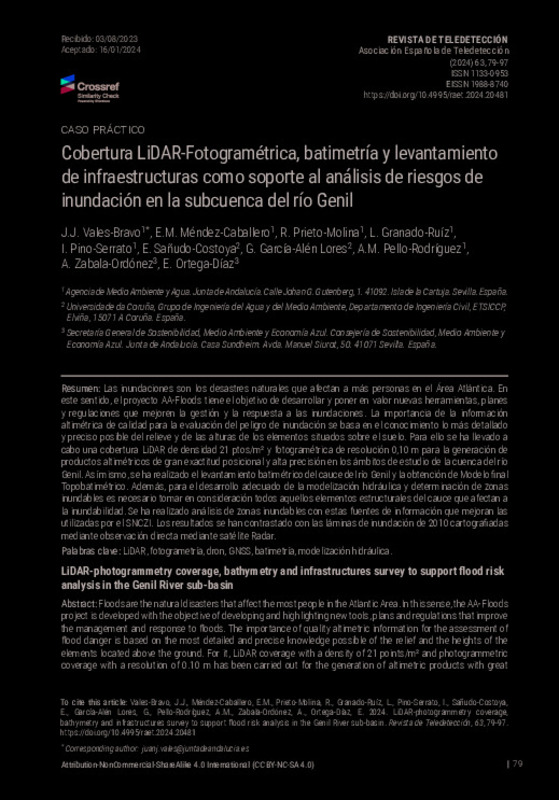
Cobertura LiDAR-Fotogramétrica, batimetría y levantamiento de infraestructuras como soporte al análisis de riesgos de inundación en la subcuenca del río Genil
Mostrar el registro completo del ítem
Vales-Bravo, JJ.; Méndez-Caballero, EM.; Prieto-Molina, R.; Granado-Ruíz, L.; Pino-Serrato, I.; Sañudo-Costoya, E.; García-Alén Lores, G.... (2024). Cobertura LiDAR-Fotogramétrica, batimetría y levantamiento de infraestructuras como soporte al análisis de riesgos de inundación en la subcuenca del río Genil. Revista de Teledetección. (63):79-97. https://doi.org/10.4995/raet.2024.20481
Por favor, use este identificador para citar o enlazar este ítem: http://hdl.handle.net/10251/202442
Ficheros en el ítem
Metadatos del ítem
| Título: | Cobertura LiDAR-Fotogramétrica, batimetría y levantamiento de infraestructuras como soporte al análisis de riesgos de inundación en la subcuenca del río Genil | |
| Otro titulo: |
|
|
| Autor: | Vales-Bravo, J. J. Méndez-Caballero, E. M. Prieto-Molina, R. Granado-Ruíz, L. Pino-Serrato, I. Pello-Rodríguez, A. M. Zabala-Ordóñez, A. Ortega-Díaz, E. | |
| Fecha difusión: |
|
|
| Resumen: |
[EN] Floods are the natural disasters that affect the most people in the Atlantic Area. In this sense, the AA-Floods project is developed with the objective of developing and highlighting new tools, plans and regulations ...[+]
[ES] Las inundaciones son los desastres naturales que afectan a más personas en el Área Atlántica. En este sentido, el proyecto AA-Floods tiene el objetivo de desarrollar y poner en valor nuevas herramientas, planes y ...[+]
|
|
| Palabras clave: |
|
|
| Derechos de uso: | Reconocimiento - No comercial - Compartir igual (by-nc-sa) | |
| Fuente: |
|
|
| DOI: |
|
|
| Editorial: |
|
|
| Versión del editor: | https://doi.org/10.4995/raet.2024.20481 | |
| Código del Proyecto: |
|
|
| Agradecimientos: |
Este trabajo se ha financiado por el proyecto EAPA_45/2018_AA-FLOODS.
Universidade da Coruña, Grupo de Ingeniería del Agua y del Medio Ambiente, Departamento de Ingeniería Civil, ETSICCP
Agencia de Medio Ambiente y Agua. ...[+]
|
|
| Tipo: |
|


