JavaScript is disabled for your browser. Some features of this site may not work without it.
Buscar en RiuNet
Listar
Mi cuenta
Estadísticas
Ayuda RiuNet
Admin. UPV
Narrating Serranos Bridge Evolution in Valencia (1500¿2022) Using Historic Building Information Modelling and Historical Data
Mostrar el registro sencillo del ítem
Ficheros en el ítem
| dc.contributor.author | Gómez Gil, Antonio Miguel
|
es_ES |
| dc.contributor.author | Adineh, Ali
|
es_ES |
| dc.contributor.author | Rahrig, Max
|
es_ES |
| dc.contributor.author | Lerma, José Luis
|
es_ES |
| dc.date.accessioned | 2024-04-11T08:13:23Z | |
| dc.date.available | 2024-04-11T08:13:23Z | |
| dc.date.issued | 2024-01 | es_ES |
| dc.identifier.issn | 2072-4292 | es_ES |
| dc.identifier.uri | http://hdl.handle.net/10251/203350 | |
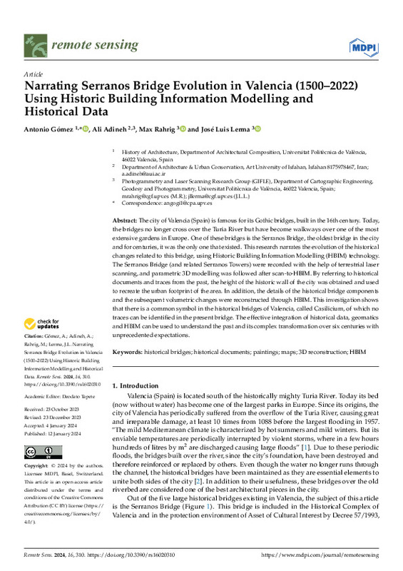
| dc.description.abstract | [EN] The city of Valencia (Spain) is famous for its Gothic bridges, built in the 16th century. Today, the bridges no longer cross over the Turia River but have become walkways over one of the most extensive gardens in Europe. One of these bridges is the Serranos Bridge, the oldest bridge in the city and for centuries, it was the only one that existed. This research narrates the evolution of the historical changes related to this bridge, using Historic Building Information Modelling (HBIM) technology. The Serranos Bridge (and related Serranos Towers) were recorded with the help of terrestrial laser scanning, and parametric 3D modelling was followed after scan-to-HBIM. By referring to historical documents and traces from the past, the height of the historic wall of the city was obtained and used to recreate the urban footprint of the area. In addition, the details of the historical bridge components and the subsequent volumetric changes were reconstructed through HBIM. This investigation shows that there is a common symbol in the historical bridges of Valencia, called Casilicium, of which no traces can be identified in the present bridge. The effective integration of historical data, geomatics and HBIM can be used to understand the past and its complex transformation over six centuries with unprecedented expectations. | es_ES |
| dc.language | Inglés | es_ES |
| dc.publisher | MDPI AG | es_ES |
| dc.relation.ispartof | Remote Sensing | es_ES |
| dc.rights | Reconocimiento (by) | es_ES |
| dc.subject | Historical bridges | es_ES |
| dc.subject | Historical documents | es_ES |
| dc.subject | Paintings | es_ES |
| dc.subject | Maps | es_ES |
| dc.subject | 3D reconstruction | es_ES |
| dc.subject | HBIM | es_ES |
| dc.subject.classification | COMPOSICION ARQUITECTONICA | es_ES |
| dc.subject.classification | INGENIERIA CARTOGRAFICA, GEODESIA Y FOTOGRAMETRIA | es_ES |
| dc.title | Narrating Serranos Bridge Evolution in Valencia (1500¿2022) Using Historic Building Information Modelling and Historical Data | es_ES |
| dc.type | Artículo | es_ES |
| dc.identifier.doi | 10.3390/rs16020310 | es_ES |
| dc.rights.accessRights | Abierto | es_ES |
| dc.contributor.affiliation | Universitat Politècnica de València. Escuela Técnica Superior de Ingeniería Geodésica, Cartográfica y Topográfica - Escola Tècnica Superior d'Enginyeria Geodèsica, Cartogràfica i Topogràfica | es_ES |
| dc.contributor.affiliation | Universitat Politècnica de València. Escuela Técnica Superior de Arquitectura - Escola Tècnica Superior d'Arquitectura | es_ES |
| dc.description.bibliographicCitation | Gómez Gil, AM.; Adineh, A.; Rahrig, M.; Lerma, JL. (2024). Narrating Serranos Bridge Evolution in Valencia (1500¿2022) Using Historic Building Information Modelling and Historical Data. Remote Sensing. 16(2). https://doi.org/10.3390/rs16020310 | es_ES |
| dc.description.accrualMethod | S | es_ES |
| dc.relation.publisherversion | https://doi.org/10.3390/rs16020310 | es_ES |
| dc.type.version | info:eu-repo/semantics/publishedVersion | es_ES |
| dc.description.volume | 16 | es_ES |
| dc.description.issue | 2 | es_ES |
| dc.relation.pasarela | S\506983 | es_ES |


