JavaScript is disabled for your browser. Some features of this site may not work without it.
Buscar en RiuNet
Listar
Mi cuenta
Estadísticas
Ayuda RiuNet
Admin. UPV
Integration of Remote-Sensing Techniques for the Preventive Conservation of Paleolithic Cave Art in the Karst of the Altamira Cave
Mostrar el registro sencillo del ítem
Ficheros en el ítem
| dc.contributor.author | Bayarri, Vicente
|
es_ES |
| dc.contributor.author | Prada, Alfredo
|
es_ES |
| dc.contributor.author | García García, Francisco
|
es_ES |
| dc.contributor.author | Díaz-González, Lucía M.
|
es_ES |
| dc.contributor.author | De las Heras, Carmen
|
es_ES |
| dc.contributor.author | Castillo, Elena
|
es_ES |
| dc.contributor.author | Fatás, Pilar
|
es_ES |
| dc.date.accessioned | 2024-04-11T09:56:54Z | |
| dc.date.available | 2024-04-11T09:56:54Z | |
| dc.date.issued | 2023-02 | es_ES |
| dc.identifier.issn | 2072-4292 | es_ES |
| dc.identifier.uri | http://hdl.handle.net/10251/203364 | |
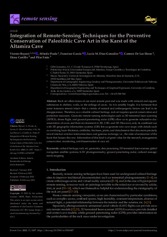
| dc.description.abstract | [EN] Rock art offers traces of our most remote past and was made with mineral and organic substances in shelters, walls, or the ceilings of caves. As it is notably fragile, it is fortunate that some instances remain intact¿but a variety of natural and anthropogenic factors can lead to its disappearance. Therefore, as a valuable cultural heritage, rock art requires special conservation and protection measures. Geomatic remote-sensing technologies such as 3D terrestrial laser scanning (3DTLS), drone flight, and ground-penetrating radar (GPR) allow us to generate exhaustive documentation of caves and their environment in 2D, 2.5D, and 3D. However, only its combined use with 3D geographic information systems (GIS) lets us generate new cave maps with details such as overlying layer thickness, sinkholes, fractures, joints, and detachments that also more precisely reveal interior¿exterior interconnections and gaseous exchange; i.e., the state of senescence of the karst that houses the cave. Information of this kind is of great value for the research, management, conservation, monitoring, and dissemination of cave art. | es_ES |
| dc.description.sponsorship | This research was funded by the Department of Innovation, Industry, Tourism and Trade of the Regional Government of Cantabria in the context of aid to encourage industrial research and innovation in companies, project ¿SImulador Climático del Karst de cuevas de especial valor. (SICLIKA),¿ grant number 2016/INN/25. | es_ES |
| dc.language | Inglés | es_ES |
| dc.publisher | MDPI AG | es_ES |
| dc.relation.ispartof | Remote Sensing | es_ES |
| dc.rights | Reconocimiento (by) | es_ES |
| dc.subject | Cultural heritage | es_ES |
| dc.subject | Rock art | es_ES |
| dc.subject | Geomatics | es_ES |
| dc.subject | Data processing | es_ES |
| dc.subject | 3D terrestrial laser scanner | es_ES |
| dc.subject | Global navigation satellite systems | es_ES |
| dc.subject | UAV photogrammetry | es_ES |
| dc.subject | Ground penetrating radar | es_ES |
| dc.subject | Cultural management | es_ES |
| dc.subject | Mapping | es_ES |
| dc.subject.classification | INGENIERIA CARTOGRAFICA, GEODESIA Y FOTOGRAMETRIA | es_ES |
| dc.title | Integration of Remote-Sensing Techniques for the Preventive Conservation of Paleolithic Cave Art in the Karst of the Altamira Cave | es_ES |
| dc.type | Artículo | es_ES |
| dc.identifier.doi | 10.3390/rs15041087 | es_ES |
| dc.relation.projectID | info:eu-repo/grantAgreement/Gobierno de Cantabria//2016%2FINN%2F25//SImulador Climático del Karst de cuevas de especial valor. (SICLIKA)/ | es_ES |
| dc.rights.accessRights | Abierto | es_ES |
| dc.contributor.affiliation | Universitat Politècnica de València. Escuela Técnica Superior de Ingeniería Geodésica, Cartográfica y Topográfica - Escola Tècnica Superior d'Enginyeria Geodèsica, Cartogràfica i Topogràfica | es_ES |
| dc.description.bibliographicCitation | Bayarri, V.; Prada, A.; García García, F.; Díaz-González, LM.; De Las Heras, C.; Castillo, E.; Fatás, P. (2023). Integration of Remote-Sensing Techniques for the Preventive Conservation of Paleolithic Cave Art in the Karst of the Altamira Cave. Remote Sensing. 15(4). https://doi.org/10.3390/rs15041087 | es_ES |
| dc.description.accrualMethod | S | es_ES |
| dc.relation.publisherversion | https://doi.org/10.3390/rs15041087 | es_ES |
| dc.type.version | info:eu-repo/semantics/publishedVersion | es_ES |
| dc.description.volume | 15 | es_ES |
| dc.description.issue | 4 | es_ES |
| dc.relation.pasarela | S\483290 | es_ES |
| dc.contributor.funder | Gobierno de Cantabria | es_ES |


