JavaScript is disabled for your browser. Some features of this site may not work without it.
Buscar en RiuNet
Listar
Mi cuenta
Estadísticas
Ayuda RiuNet
Admin. UPV
Continuous Monitoring of the Flooding Dynamics in the Albufera Wetland (Spain) by Landsat-8 and Sentinel-2 Datasets
Mostrar el registro sencillo del ítem
Ficheros en el ítem
| dc.contributor.author | Cavallo, Carmela
|
es_ES |
| dc.contributor.author | Papa, Maria Nicolina
|
es_ES |
| dc.contributor.author | Gargiulo, Massimiliano
|
es_ES |
| dc.contributor.author | Palau-Salvador, Guillermo
|
es_ES |
| dc.contributor.author | Vezza, Paolo
|
es_ES |
| dc.contributor.author | Ruello, Giuseppe
|
es_ES |
| dc.date.accessioned | 2024-04-11T11:29:08Z | |
| dc.date.available | 2024-04-11T11:29:08Z | |
| dc.date.issued | 2021-09 | es_ES |
| dc.identifier.issn | 2072-4292 | es_ES |
| dc.identifier.uri | http://hdl.handle.net/10251/203394 | |
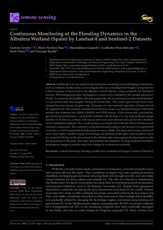
| dc.description.abstract | [EN] Satellite data are very useful for the continuous monitoring of ever-changing environments, such as wetlands. In this study, we investigated the use of multispectral imagery to monitor the winter evolution of land cover in the Albufera wetland (Spain), using Landsat-8 and Sentinel-2 datasets. With multispectral data, the frequency of observation is limited by the possible presence of clouds. To overcome this problem, the data acquired by the two missions, Landsat-8 and Sentinel-2, were jointly used, thus roughly halving the revisit time. The varied types of land cover were grouped into four classes: (1) open water, (2) mosaic of water, mud and vegetation, (3) bare soil and (4) vegetated soil. The automatic classification of the four classes was obtained through a rule-based method that combined the NDWI, MNDWI and NDVI indices. Point information, provided by geo-located ground pictures, was spatially extended with the help of a very high-resolution image (GeoEye-1). In this way, surfaces with known land cover were obtained and used for the validation of the classification method. The overall accuracy was found to be 0.96 and 0.98 for Landsat-8 and Sentinel-2, respectively. The consistency evaluation between Landsat-8 and Sentinel-2 was performed in six days, in which acquisitions by both missions were available. The observed dynamics of the land cover were highly variable in space. For example, the presence of the open water condition lasted for around 60-80 days in the areas closest to the Albufera lake and progressively decreased towards the boundaries of the park. The study demonstrates the feasibility of using moderate-resolution multispectral images to monitor land cover changes in wetland environments. | es_ES |
| dc.description.sponsorship | This research was funded by the PhD course on Risk and Sustainability in Civil, Architectural and Environmental Engineering Systems of Salerno University (PON Research and Innovation 2014-2020 scholarship). | es_ES |
| dc.language | Inglés | es_ES |
| dc.publisher | MDPI AG | es_ES |
| dc.relation.ispartof | Remote Sensing | es_ES |
| dc.rights | Reconocimiento (by) | es_ES |
| dc.subject | Wetland monitoring | es_ES |
| dc.subject | Flooding | es_ES |
| dc.subject | Satellite data | es_ES |
| dc.subject | Multispectral images | es_ES |
| dc.subject | Landsat-8 | es_ES |
| dc.subject | Sentinel-2 | es_ES |
| dc.subject.classification | INGENIERIA AGROFORESTAL | es_ES |
| dc.title | Continuous Monitoring of the Flooding Dynamics in the Albufera Wetland (Spain) by Landsat-8 and Sentinel-2 Datasets | es_ES |
| dc.type | Artículo | es_ES |
| dc.identifier.doi | 10.3390/rs13173525 | es_ES |
| dc.rights.accessRights | Abierto | es_ES |
| dc.contributor.affiliation | Universitat Politècnica de València. Escuela Técnica Superior de Ingeniería Agronómica y del Medio Natural - Escola Tècnica Superior d'Enginyeria Agronòmica i del Medi Natural | es_ES |
| dc.description.bibliographicCitation | Cavallo, C.; Papa, MN.; Gargiulo, M.; Palau-Salvador, G.; Vezza, P.; Ruello, G. (2021). Continuous Monitoring of the Flooding Dynamics in the Albufera Wetland (Spain) by Landsat-8 and Sentinel-2 Datasets. Remote Sensing. 13(17). https://doi.org/10.3390/rs13173525 | es_ES |
| dc.description.accrualMethod | S | es_ES |
| dc.relation.publisherversion | https://doi.org/10.3390/rs13173525 | es_ES |
| dc.type.version | info:eu-repo/semantics/publishedVersion | es_ES |
| dc.description.volume | 13 | es_ES |
| dc.description.issue | 17 | es_ES |
| dc.relation.pasarela | S\447865 | es_ES |


