JavaScript is disabled for your browser. Some features of this site may not work without it.
Buscar en RiuNet
Listar
Mi cuenta
Estadísticas
Ayuda RiuNet
Admin. UPV
Assessing Satellite-Derived Shoreline Detection on a Mesotidal Dissipative Beach
Mostrar el registro sencillo del ítem
Ficheros en el ítem
| dc.contributor.author | Cabezas-Rabadán, Carlos
|
es_ES |
| dc.contributor.author | Almonacid-Caballer, Jaime
|
es_ES |
| dc.contributor.author | Benavente, Javier
|
es_ES |
| dc.contributor.author | Castelle, Bruno
|
es_ES |
| dc.contributor.author | Del Río, Laura
|
es_ES |
| dc.contributor.author | Montes, Juan
|
es_ES |
| dc.contributor.author | Palomar-Vázquez, Jesús
|
es_ES |
| dc.contributor.author | Pardo Pascual, Josep Eliseu
|
es_ES |
| dc.date.accessioned | 2024-04-11T11:40:40Z | |
| dc.date.available | 2024-04-11T11:40:40Z | |
| dc.date.issued | 2024-02 | es_ES |
| dc.identifier.issn | 2072-4292 | es_ES |
| dc.identifier.uri | http://hdl.handle.net/10251/203405 | |
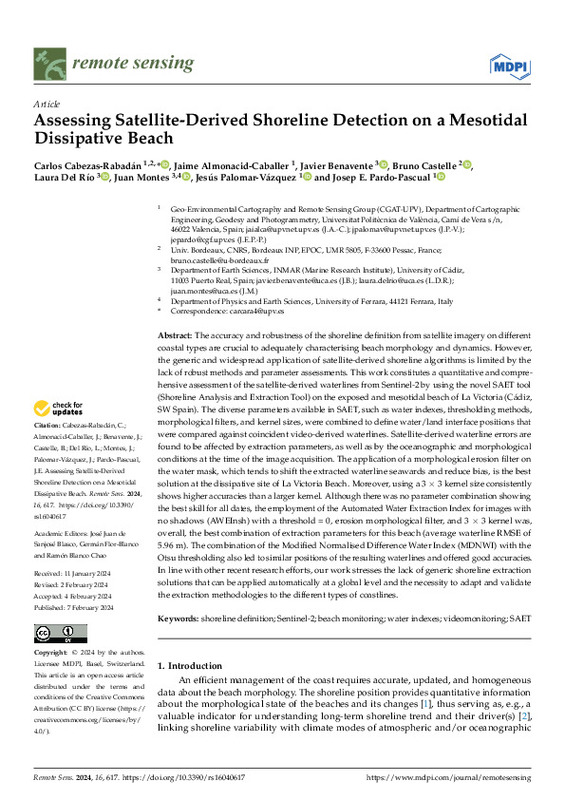
| dc.description.abstract | [EN] The accuracy and robustness of the shoreline definition from satellite imagery on different coastal types are crucial to adequately characterising beach morphology and dynamics. However, the generic and widespread application of satellite-derived shoreline algorithms is limited by the lack of robust methods and parameter assessments. This work constitutes a quantitative and comprehensive assessment of the satellite-derived waterlines from Sentinel-2 by using the novel SAET tool (Shoreline Analysis and Extraction Tool) on the exposed and mesotidal beach of La Victoria (Cádiz, SW Spain). The diverse parameters available in SAET, such as water indexes, thresholding methods, morphological filters, and kernel sizes, were combined to define water/land interface positions that were compared against coincident video-derived waterlines. Satellite-derived waterline errors are found to be affected by extraction parameters, as well as by the oceanographic and morphological conditions at the time of the image acquisition. The application of a morphological erosion filter on the water mask, which tends to shift the extracted waterline seawards and reduce bias, is the best solution at the dissipative site of La Victoria Beach. Moreover, using a 3 × 3 kernel size consistently shows higher accuracies than a larger kernel. Although there was no parameter combination showing the best skill for all dates, the employment of the Automated Water Extraction Index for images with no shadows (AWEInsh) with a threshold = 0, erosion morphological filter, and 3 × 3 kernel was, overall, the best combination of extraction parameters for this beach (average waterline RMSE of 5.96 m). The combination of the Modified Normalised Difference Water Index (MDNWI) with the Otsu thresholding also led to similar positions of the resulting waterlines and offered good accuracies. In line with other recent research efforts, our work stresses the lack of generic shoreline extraction solutions that can be applied automatically at a global level and the necessity to adapt and validate the extraction methodologies to the different types of coastlines. | es_ES |
| dc.description.sponsorship | This research was funded by the projects MONOBESAT (PID2019-111435RB-I00) by the Spanish Ministry of Science, Innovation and Universities; CRISIS (Coastal Risk Evaluation Under Climate Change Scenarios), by the Spanish Ministry of Science and Innovation (PID2019-109143RBI00); the grants PAID-06-22 (CCR) by the Vicerrectorado de Investigación de la Universitat Politècnica de València (UPV), and PR-2023-032 (JM) by Universidad de Cádiz (UCA); CCR and JM were funded by MS contracts within the Re-qualification programme by the Spanish Ministry of Universities also financed by the EU¿NextGenerationEU; BC by Agence Nationale de la Recherche (ANR) grant number ANR-21-CE01-0015. | es_ES |
| dc.language | Inglés | es_ES |
| dc.publisher | MDPI AG | es_ES |
| dc.relation.ispartof | Remote Sensing | es_ES |
| dc.rights | Reconocimiento (by) | es_ES |
| dc.subject | Shoreline definition | es_ES |
| dc.subject | Sentinel-2 | es_ES |
| dc.subject | Beach monitoring | es_ES |
| dc.subject | Water indexes | es_ES |
| dc.subject | Videomonitoring | es_ES |
| dc.subject | SAET | es_ES |
| dc.subject.classification | INGENIERIA CARTOGRAFICA, GEODESIA Y FOTOGRAMETRIA | es_ES |
| dc.title | Assessing Satellite-Derived Shoreline Detection on a Mesotidal Dissipative Beach | es_ES |
| dc.type | Artículo | es_ES |
| dc.identifier.doi | 10.3390/rs16040617 | es_ES |
| dc.relation.projectID | info:eu-repo/grantAgreement/AEI/Plan Estatal de Investigación Científica y Técnica y de Innovación 2017-2020/PID2019-109143RB-I00/ES/EVALUACION DEL RIESGO COSTERO BAJO DIFERENTES ESCENARIOS DE CAMBIO CLIMATICO Y DE SUS IMPLICACIONES SOCIECONOMICAS/ | es_ES |
| dc.relation.projectID | info:eu-repo/grantAgreement/AEI/Plan Estatal de Investigación Científica y Técnica y de Innovación 2017-2020/PID2019-111435RB-I00/ES/MONITORIZACION MORFOLOGICA DE LAS PLAYAS UTILIZANDO IMAGENES DE SATELITE DE LIBRE ACCESO Y COBERTURA GLOBAL/ | es_ES |
| dc.relation.projectID | info:eu-repo/grantAgreement/ANR//ANR-21-CE01-0015/FR/Understanding and predicting contemporary shoreline evolution in a changing climate by satellite data assimilation in hybrid models/ | es_ES |
| dc.relation.projectID | info:eu-repo/grantAgreement/UPV-VIN//PAID-06-22//Monitorización de la respuesta de la línea de costa a eventos erosivos y a patrones rítmicos mediante imágenes de satélite/ | es_ES |
| dc.relation.projectID | info:eu-repo/grantAgreement/UCA//PR-2023-032/ | es_ES |
| dc.rights.accessRights | Abierto | es_ES |
| dc.contributor.affiliation | Universitat Politècnica de València. Departamento de Ingeniería Cartográfica Geodesia y Fotogrametría - Departament d'Enginyeria Cartogràfica, Geodèsia i Fotogrametria | es_ES |
| dc.contributor.affiliation | Universitat Politècnica de València. Escuela Técnica Superior de Ingeniería Geodésica, Cartográfica y Topográfica - Escola Tècnica Superior d'Enginyeria Geodèsica, Cartogràfica i Topogràfica | es_ES |
| dc.description.bibliographicCitation | Cabezas-Rabadán, C.; Almonacid-Caballer, J.; Benavente, J.; Castelle, B.; Del Río, L.; Montes, J.; Palomar-Vázquez, J.... (2024). Assessing Satellite-Derived Shoreline Detection on a Mesotidal Dissipative Beach. Remote Sensing. 16(4). https://doi.org/10.3390/rs16040617 | es_ES |
| dc.description.accrualMethod | S | es_ES |
| dc.relation.publisherversion | https://doi.org/10.3390/rs16040617 | es_ES |
| dc.type.version | info:eu-repo/semantics/publishedVersion | es_ES |
| dc.description.volume | 16 | es_ES |
| dc.description.issue | 4 | es_ES |
| dc.relation.pasarela | S\508752 | es_ES |
| dc.contributor.funder | Universidad de Cádiz | es_ES |
| dc.contributor.funder | AGENCIA ESTATAL DE INVESTIGACION | es_ES |
| dc.contributor.funder | Agencia Estatal de Investigación | es_ES |
| dc.contributor.funder | UNIVERSIDAD POLITECNICA DE VALENCIA | es_ES |


