JavaScript is disabled for your browser. Some features of this site may not work without it.
Buscar en RiuNet
Listar
Mi cuenta
Estadísticas
Ayuda RiuNet
Admin. UPV
Estimation of chlorophyll «A» on the Mediterranean coast using a QuickBird image
Mostrar el registro sencillo del ítem
Ficheros en el ítem
| dc.contributor.author | Sebastiá Frasquet, María Teresa
|
es_ES |
| dc.contributor.author | Estornell Cremades, Javier
|
es_ES |
| dc.contributor.author | Rodilla Alamá, Miguel
|
es_ES |
| dc.contributor.author | Marti Gavila, Jesus
|
es_ES |
| dc.contributor.author | Falco Giaccaglia, Silvia Laura
|
es_ES |
| dc.date.accessioned | 2014-03-04T12:29:57Z | |
| dc.date.available | 2014-03-04T12:29:57Z | |
| dc.date.issued | 2012 | |
| dc.identifier.issn | 1133-0953 | |
| dc.identifier.uri | http://hdl.handle.net/10251/36141 | |
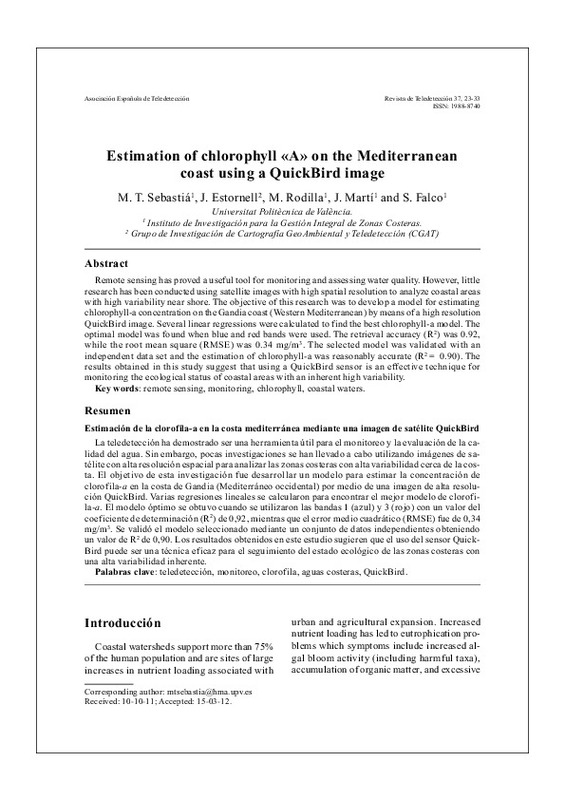
| dc.description.abstract | Remote sensing has proved a useful tool for monitoring and assessing water quality. However, little research has been conducted using satellite images with high spatial resolution to analyze coastal areas with high variability near shore. The objective of this research was to develop a model for estimating chlorophyll-a concentration on the Gandia coast (Western Mediterranean) by means of a high resolution QuickBird image. Several linear regressions were calculated to find the best chlorophyll-a model. The optimal model was found when blue and red bands were used. The retrieval accuracy (R2 ) was 0.92, while the root mean square (RMSE) was 0.34 mg/m3 . The selected model was validated with an independent data set and the estimation of chlorophyll-a was reasonably accurate (R2= 0.90). The results obtained in this study suggest that using a QuickBird sensor is an effective technique for monitoring the ecological status of coastal areas with an inherent high variability. | es_ES |
| dc.description.abstract | La teledetección ha demostrado ser una herramienta útil para el monitoreo y la evaluación de la calidad del agua. Sin embargo, pocas investigaciones se han llevado a cabo utilizando imágenes de satélite con alta resolución espacial para analizar las zonas costeras con alta variabilidad cerca de la costa. El objetivo de esta investigación fue desarrollar un modelo para estimar la concentración de clorofila-a en la costa de Gandia (Mediterráneo occidental) por medio de una imagen de alta resolución QuickBird. Varias regresiones lineales se calcularon para encontrar el mejor modelo de clorofila- a. El modelo óptimo se obtuvo cuando se utilizaron las bandas 1 (azul) y 3 (rojo) con un valor del coeficiente de determinación (R2) de 0,92, mientras que el error medio cuadrático (RMSE) fue de 0,34 mg/m3. Se validó el modelo seleccionado mediante un conjunto de datos independientes obteniendo un valor de R2 de 0,90. Los resultados obtenidos en este estudio sugieren que el uso del sensor Quick-Bird puede ser una técnica eficaz para el seguimiento del estado ecológico de las zonas costeras con una alta variabilidad inherente. | es_ES |
| dc.format.extent | 11 | es_ES |
| dc.language | Inglés | es_ES |
| dc.publisher | Asociación Española de Teledetección | es_ES |
| dc.relation.ispartof | Revista de Teledetección | es_ES |
| dc.rights | Reserva de todos los derechos | es_ES |
| dc.subject | Remote sensing | es_ES |
| dc.subject | Monitoring | es_ES |
| dc.subject | Chlorophyll | es_ES |
| dc.subject | Coastal waters | es_ES |
| dc.subject | Teledetección | es_ES |
| dc.subject | Monitoreo | es_ES |
| dc.subject | Clorofila | es_ES |
| dc.subject | Aguas costeras | es_ES |
| dc.subject | QuickBird | es_ES |
| dc.subject.classification | INGENIERIA CARTOGRAFICA, GEODESIA Y FOTOGRAMETRIA | es_ES |
| dc.subject.classification | TECNOLOGIA DEL MEDIO AMBIENTE | es_ES |
| dc.title | Estimation of chlorophyll «A» on the Mediterranean coast using a QuickBird image | es_ES |
| dc.type | Artículo | es_ES |
| dc.rights.accessRights | Abierto | es_ES |
| dc.contributor.affiliation | Universitat Politècnica de València. Departamento de Ingeniería Hidráulica y Medio Ambiente - Departament d'Enginyeria Hidràulica i Medi Ambient | es_ES |
| dc.contributor.affiliation | Universitat Politècnica de València. Departamento de Ingeniería Cartográfica Geodesia y Fotogrametría - Departament d'Enginyeria Cartogràfica, Geodèsia i Fotogrametria | es_ES |
| dc.contributor.affiliation | Universitat Politècnica de València. Instituto de Investigación para la Gestión Integral de Zonas Costeras - Institut d'Investigació per a la Gestió Integral de Zones Costaneres | es_ES |
| dc.description.bibliographicCitation | Sebastiá Frasquet, MT.; Estornell Cremades, J.; Rodilla Alamá, M.; Marti Gavila, J.; Falco Giaccaglia, SL. (2012). Estimation of chlorophyll «A» on the Mediterranean coast using a QuickBird image. Revista de Teledetección. (37):23-33. http://hdl.handle.net/10251/36141 | es_ES |
| dc.description.accrualMethod | S | es_ES |
| dc.relation.publisherversion | http://www.aet.org.es/?q=revista37-5 | es_ES |
| dc.description.upvformatpinicio | 23 | es_ES |
| dc.description.upvformatpfin | 33 | es_ES |
| dc.type.version | info:eu-repo/semantics/publishedVersion | es_ES |
| dc.description.issue | 37 | es_ES |
| dc.relation.senia | 223633 |


