JavaScript is disabled for your browser. Some features of this site may not work without it.
Buscar en RiuNet
Listar
Mi cuenta
Estadísticas
Ayuda RiuNet
Admin. UPV
Airborne light detection and ranging (LiDAR) point density analysis
Mostrar el registro sencillo del ítem
Ficheros en el ítem
| dc.contributor.author | Balsa Barreiro, José
|
es_ES |
| dc.contributor.author | Avariento Vicent, Joan Pere
|
es_ES |
| dc.contributor.author | Lerma García, José Luis
|
es_ES |
| dc.date.accessioned | 2015-04-23T11:23:12Z | |
| dc.date.available | 2015-04-23T11:23:12Z | |
| dc.date.issued | 2012-08 | |
| dc.identifier.issn | 1992-2248 | |
| dc.identifier.uri | http://hdl.handle.net/10251/49182 | |
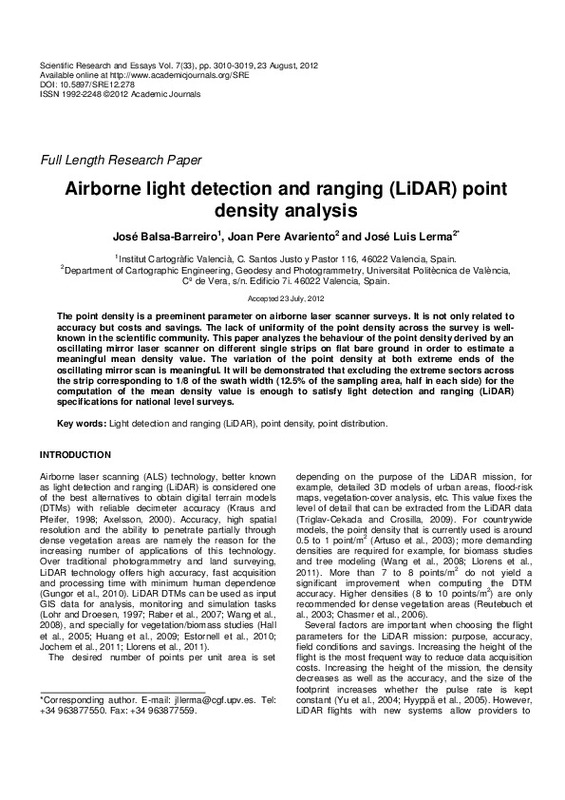
| dc.description.abstract | The point density is a preeminent parameter on airborne laser scanner surveys. It is not only related to accuracy but costs and savings. The lack of uniformity of the point density across the survey is well-known in the scientific community. This paper analyzes the behaviour of the point density derived by an oscillating mirror laser scanner on different single strips on flat bare ground in order to estimate a meaningful mean density value. The variation of the point density at both extreme ends of the oscillating mirror scan is meaningful. It will be demonstrated that excluding the extreme sectors across the strip corresponding to 1/8 of the swath width (12.5% of the sampling area, half in each side) for the computation of the mean density value is enough to satisfy light detection and ranging (LiDAR) specifications for national level surveys. | es_ES |
| dc.language | Inglés | es_ES |
| dc.publisher | Academic Journals | es_ES |
| dc.relation.ispartof | Scientific Research and Essays | es_ES |
| dc.rights | Reserva de todos los derechos | es_ES |
| dc.subject | Light detection and ranging (LiDAR) | es_ES |
| dc.subject | Point density | es_ES |
| dc.subject | Point distribution | es_ES |
| dc.subject.classification | INGENIERIA CARTOGRAFICA, GEODESIA Y FOTOGRAMETRIA | es_ES |
| dc.title | Airborne light detection and ranging (LiDAR) point density analysis | es_ES |
| dc.type | Artículo | es_ES |
| dc.identifier.doi | 10.5897/SRE12.278 | |
| dc.rights.accessRights | Abierto | es_ES |
| dc.contributor.affiliation | Universitat Politècnica de València. Departamento de Ingeniería Cartográfica Geodesia y Fotogrametría - Departament d'Enginyeria Cartogràfica, Geodèsia i Fotogrametria | es_ES |
| dc.description.bibliographicCitation | Balsa Barreiro, J.; Avariento Vicent, JP.; Lerma García, JL. (2012). Airborne light detection and ranging (LiDAR) point density analysis. Scientific Research and Essays. 7(33):3010-3019. doi:10.5897/SRE12.278 | es_ES |
| dc.description.accrualMethod | S | es_ES |
| dc.relation.publisherversion | http://dx.doi.org/10.5897/SRE12.278 | es_ES |
| dc.description.upvformatpinicio | 3010 | es_ES |
| dc.description.upvformatpfin | 3019 | es_ES |
| dc.type.version | info:eu-repo/semantics/publishedVersion | es_ES |
| dc.description.volume | 7 | es_ES |
| dc.description.issue | 33 | es_ES |
| dc.relation.senia | 227420 |


