JavaScript is disabled for your browser. Some features of this site may not work without it.
Buscar en RiuNet
Listar
Mi cuenta
Estadísticas
Ayuda RiuNet
Admin. UPV
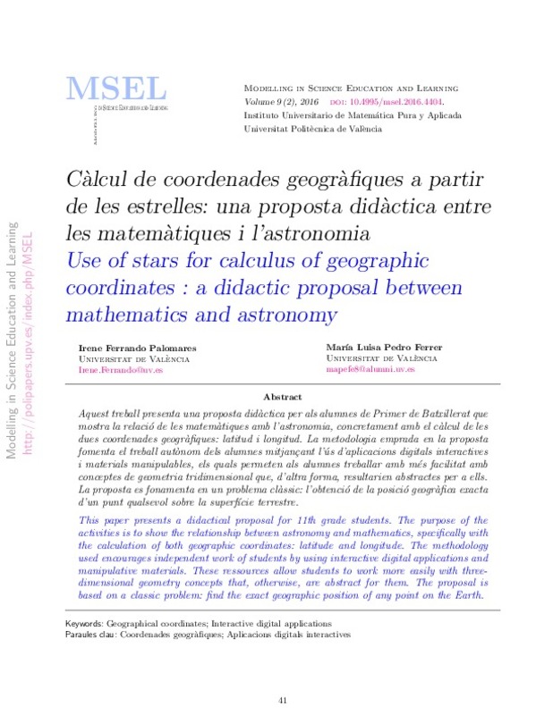
Càlcul de coordenades geogràfiques a partir de les estrelles: una proposta didàctica entre les matemàtiques i l'astronomia
Mostrar el registro sencillo del ítem
Ficheros en el ítem
| dc.contributor.author | Ferrando Palomares, Irene
|
es_ES |
| dc.contributor.author | Pedro Ferrer, María Luisa
|
es_ES |
| dc.date.accessioned | 2016-09-16T08:02:46Z | |
| dc.date.available | 2016-09-16T08:02:46Z | |
| dc.date.issued | 2016-07-24 | |
| dc.identifier.uri | http://hdl.handle.net/10251/69957 | |
| dc.description.abstract | [EN] This paper presents a didactical proposal for 11th grade students. The purpose of the activities is to show the relationship between astronomy and mathematics, specifically with the calculation of both geographic coordinates: latitude and longitude. The methodology used encourages independent work of students by using interactive digital applications and manipulative materials. These ressources allow students to work more easily with threedimensional geometry concepts that, otherwise, are abstract for them. The proposal is based on a classic problem: find the exact geographic position of any point on the Earth. | es_ES |
| dc.description.abstract | [CA] Aquest treball presenta una proposta didàctica per als alumnes de Primer de Batxillerat que mostra la relació de les matemátiques amb l'astronomia, concretament amb el cálcul de les dues coordenades geogràfiques: latitud i longitud. La metodologia emprada en la proposta fomenta el treball autònom dels alumnes mitjançant l'ús d'aplicacions digitals interactives i materials manipulables, el quals permeten als alumnes treballar amb més facilitat amb conceptes de geometria tridimensional que, d'altra forma, resulten abstractes per a ells. La proposta es fonamenta en un problema clàssic: l'obtenció la posició geogràfica exacta d'un punt qualsevol sobre la superfície terrestre. | es_ES |
| dc.language | Catalán | es_ES |
| dc.publisher | Universitat Politècnica de Valencia | |
| dc.relation.ispartof | Modelling in Science Education and Learning | |
| dc.rights | Reconocimiento - No comercial (by-nc) | es_ES |
| dc.subject | Geographical coordinates | es_ES |
| dc.subject | Interactive digital applications | es_ES |
| dc.subject | Coordenades geografiques | es_ES |
| dc.subject | Aplicacions digitals interactives | es_ES |
| dc.title | Càlcul de coordenades geogràfiques a partir de les estrelles: una proposta didàctica entre les matemàtiques i l'astronomia | es_ES |
| dc.title.alternative | Use of stars for calculus of geographic coordinates : a didactic proposal between mathematics and astronomy | es_ES |
| dc.type | Artículo | es_ES |
| dc.date.updated | 2016-09-15T13:09:53Z | |
| dc.identifier.doi | 10.4995/msel.2016.4404 | |
| dc.rights.accessRights | Abierto | es_ES |
| dc.contributor.affiliation | Universitat Politècnica de València. Instituto Universitario de Matemática Pura y Aplicada - Institut Universitari de Matemàtica Pura i Aplicada | es_ES |
| dc.description.bibliographicCitation | Ferrando Palomares, I.; Pedro Ferrer, ML. (2016). Càlcul de coordenades geogràfiques a partir de les estrelles: una proposta didàctica entre les matemàtiques i l'astronomia. Modelling in Science Education and Learning. 9(2):41-58. https://doi.org/10.4995/msel.2016.4404 | es_ES |
| dc.description.accrualMethod | SWORD | es_ES |
| dc.relation.publisherversion | https://doi.org/10.4995/msel.2016.4404 | es_ES |
| dc.description.upvformatpinicio | 41 | es_ES |
| dc.description.upvformatpfin | 58 | es_ES |
| dc.type.version | info:eu-repo/semantics/publishedVersion | es_ES |
| dc.description.volume | 9 | |
| dc.description.issue | 2 | |
| dc.identifier.eissn | 1988-3145 |


