JavaScript is disabled for your browser. Some features of this site may not work without it.
Buscar en RiuNet
Listar
Mi cuenta
Estadísticas
Ayuda RiuNet
Admin. UPV
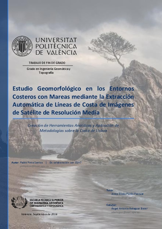
Estudio geomorfológico en los entornos costeros con mareas mediante la extracción automática de líneas de costa de imágenes de satélite de resolución media
Mostrar el registro completo del ítem
Pinto Santos, P. (2016). Estudio geomorfológico en los entornos costeros con mareas mediante la extracción automática de líneas de costa de imágenes de satélite de resolución media. Universitat Politècnica de València. http://hdl.handle.net/10251/70511
Por favor, use este identificador para citar o enlazar este ítem: http://hdl.handle.net/10251/70511
Ficheros en el ítem
Metadatos del ítem
| Título: | Estudio geomorfológico en los entornos costeros con mareas mediante la extracción automática de líneas de costa de imágenes de satélite de resolución media | |||
| Autor: | Pinto Santos, Pablo | |||
| Director(es): | ||||
| Entidad UPV: |
|
|||
| Fecha acto/lectura: |
|
|||
| Resumen: |
[ES] El objetivo de este trabajo se centra en el estudio y análisis del entorno costero mediante las líneas de costa extraídas en diferentes fechas y por diferentes técnicas como las imágenes de satélite LANDSAT o SENTINEL, ...[+]
[EN] The objective of this work is to study and analyze the coastal environment using extracted shorelines from different dates and techniques like the satellite images of LANDSAT and SENTINEL, which are a free resource, ...[+]
|
|||
| Palabras clave: |
|
|||
| Derechos de uso: | Reserva de todos los derechos | |||
| Editorial: |
|
|||
| Titulación: |
|
|||
| Tipo: |
|
Localización
recommendations
Este ítem aparece en la(s) siguiente(s) colección(ones)
-
ETSIGCT - Trabajos académicos [494]
Escuela Técnica Superior de Ingeniería Geodésica, Cartográfica y Topográfica


