- RiuNet repositorio UPV
- :
- Investigación
- :
- Material investigación. Editorial UPV
- :
- Revistas UPV. Editorial UPV
- :
- Revista de Teledetección
- :
- Revista de Teledetección - Núm. 42 (2014)
JavaScript is disabled for your browser. Some features of this site may not work without it.
Refinar
Desde el lunes 3 y hasta el jueves 20 de marzo, RiuNet funcionará en modo de solo lectura a causa de su actualización a una nueva versión.
Revista de Teledetección - Núm. 42 (2014)
Tabla de contenidos
Research articles
- Spatial distribution of the uncertainty in land cover maps obtained from remote sensing
- Methodology for the detection of land cover changes in time series of daily satellite images. Application to burned area detection
- Vegetation vulnerability to drought in Spain
- Weed mapping in early-season sunflower fields using images from an unmanned aerial vehicle (UAV)
- Herbaceous biomass estimation using hyperspectral data, PLS regression and continuum removal transformation
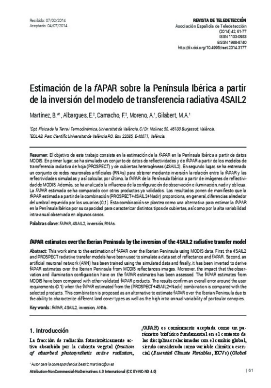
- fAPAR estimates over the Iberian Peninsula by the inversion of the 4SAIL 2 radiative transfer model
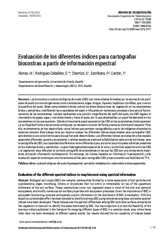
- Evaluation of the different spectral indices to map biocrust using spectral information
- Analysis of the topographic effect on the radiometric correction of MERIS images
Practical cases
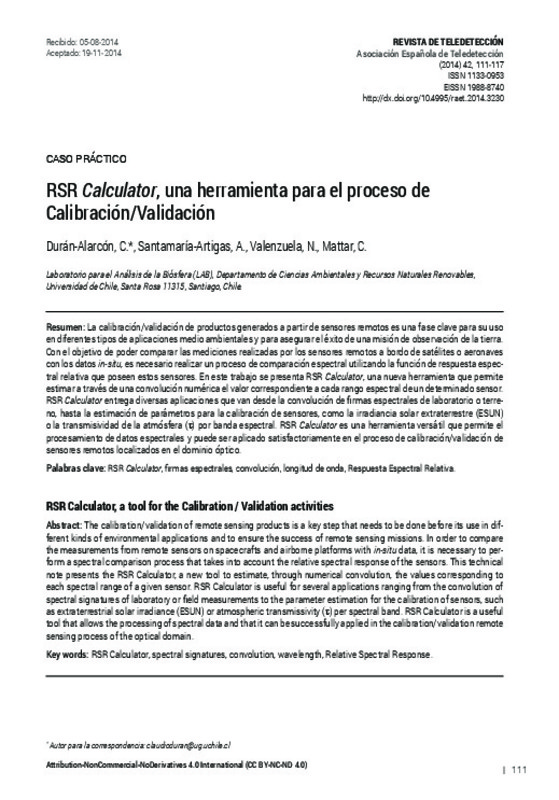
- RSR Calculator, a tool for the Calibration / Validation activities
Doctoral theses
- Retrieval and assessment of CO2 uptake by mediterranean ecosystems using remote sensing and meteorological data


